1.8 km away
Mount Charleston Peak
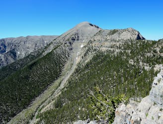
A long day in the mountains to gain the summit of one of the most prominent peaks in the USA!
Severe Hiking
- Distance
- 27 km
- Ascent
- 1.6 km
- Descent
- 1.6 km
One of the top waterfall hikes near Las Vegas.
Hiking Moderate

Mary Jane Falls is a popular hiking destination in the Mount Charleston area. For Las Vegas city dwellers, Mount Charleston provides a welcome relief from the summer heat. The mountain peak soars to almost 12,000 feet above sea level with a staggering 8,259 feet of vertical relief, meaning that even the hikes lower down the mountain flanks, like Mary Jane Falls, are still many thousands of feet above the blistering desert valley that Las Vegas rests in.
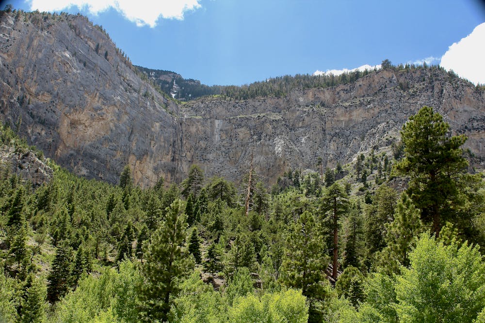
Indeed, even the trailhead for Mary Jane Falls is located in a beautiful ponderosa pine forest. The trail climbs a steep 1,043 vertical feet in just over a mile, according to FATMAP (although other sources list the hike as 1.6 miles one-way). Even though the distance is short, the dramatic elevation gain in just one mile can prove challenging for some hikers. While most of the trail is wide and well-defined, the final pitch to the falls is steep, loose, and can get eroded.
Even so, this trail stays very busy, especially when the waterfall is running. Since Mary Jane Falls is fed by snowmelt, the falls are rushing in the early spring and can potentially dry up in the late summer.
For another waterfall hike nearby, be sure to check out Big Falls.
Sources: https://www.gomtcharleston.com/mary-jane-falls/ https://www.birdandhike.com/Hike/MtChar/MJFalls/MaryJane.htm
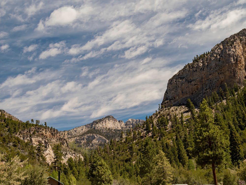
Moderate
Hiking along trails with some uneven terrain and small hills. Small rocks and roots may be present.

The trail contains some obstacles such as outcroppings and rock which could cause injury.
Away from help but easily accessed.
1.8 km away
A long day in the mountains to gain the summit of one of the most prominent peaks in the USA!
Severe Hiking

8 routes · Hiking