376 m away
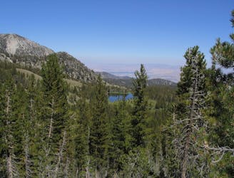
Tunnel Creek Trail
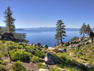
Rewarding uphill hike from Incline Village, Nevada with big views over Lake Tahoe and access to other great trails.
Moderate Hiking
- Distance
- 12 km
- Ascent
- 508 m
- Descent
- 508 m
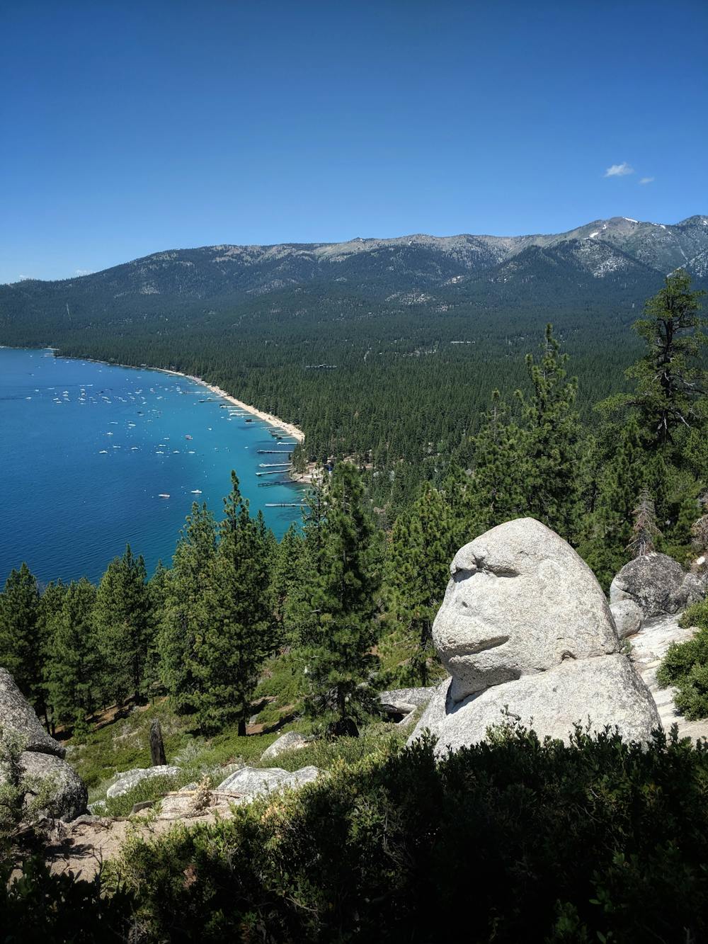
Short family friendly hike, with a surprise
Hiking Easy

Short hike up Tunnel Creek Trail, just enough to see Monkey Rock and beautiful Lake Tahoe views, by taking a detour off Tunnel Creek trail.
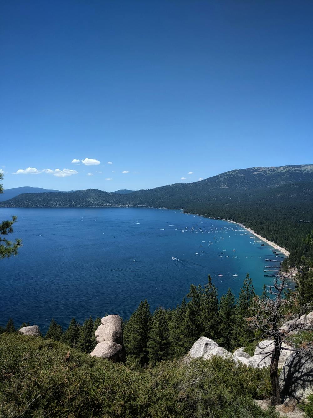

The Tahoe East Shore Trail, providing a paved path from Incline Village to San Harbor Beach, just opened for Summer 2019. This also created a line of parking spots along the road next to Tunnel Creek Cafe & Flume Trail bikes. Park in one of these convenient new spots for this hike.
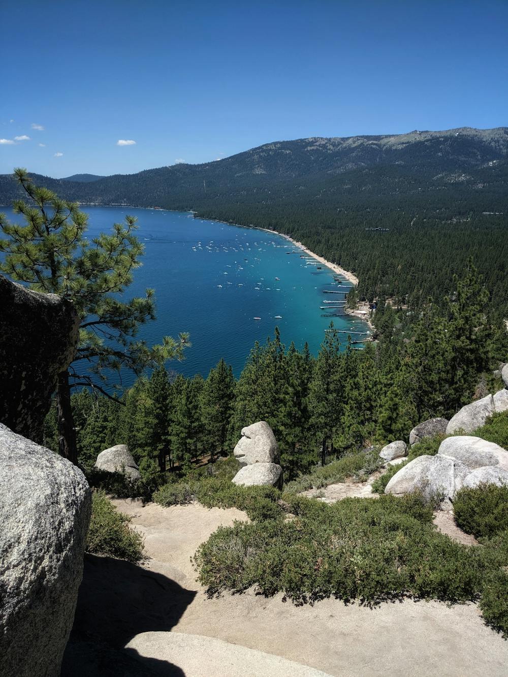
This is a family friendly hike, and you will see kids on it. The total elevation climb is about 500', with the first mile being quite mellow. The final 300' elevation is the steepest part of the hike. Yes, there are two path you can go by ;) At the fork, either take left for steeper or stay right for the switchback for an easier climb.
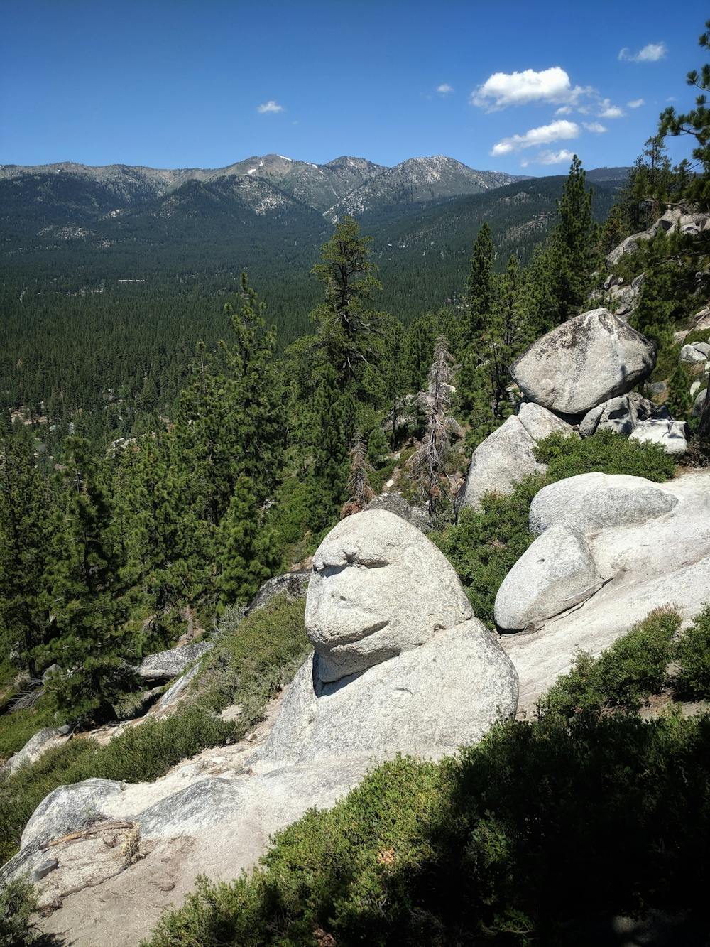
Once you reach Monkey Rock, relax and take in the views.
Easy
Walking along a well-kept trail that’s mostly flat. No obstacles are present.

The path is on completely flat land and potential injury is limited to falling over.
Close to help in case of emergency.
376 m away
Rewarding uphill hike from Incline Village, Nevada with big views over Lake Tahoe and access to other great trails.
Moderate Hiking
6.4 km away
Short uphill hike to a beautiful viewpoint and historic fire lookout over the north end of Lake Tahoe.
Easy Hiking
7.5 km away
Uphill hike through forest to a large alpine reservoir perched in the mountains above Lake Tahoe, with access to the historic Flume Trail.
Difficult Hiking
8.2 km away
Walk the lofty divide between Lake Tahoe’s basin and the Great Basin, with huge views over the desert ranges of Nevada to the east and the familiar blue water to the west.
Difficult Hiking
9.1 km away
Strenuous ascent to a big reward atop the highest peak on Lake Tahoe’s Nevada side.
Difficult Hiking

8 routes · Hiking

14 routes · Hiking