2.7 km away
Ice Box Canyon
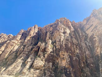
Hike up a rough trail into a stunning canyon.
Difficult Hiking
- Distance
- 3.7 km
- Ascent
- 185 m
- Descent
- 185 m
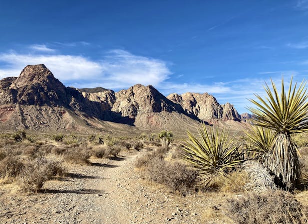
A remote loop circumnavigating a beautiful peak.
Hiking Moderate

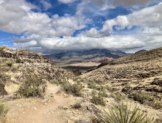
The White Rock Loop runs for 6.2 miles, circumnavigating the prominent peak by the same name. This loop gets quite remote and goes well away from the crowds as it swings around the backside of the mountain, and yet with less than 1,200 feet of elevation gain, it's still a highly achievable route.
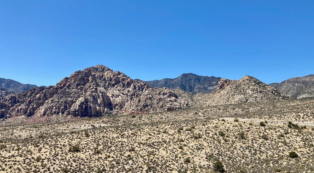
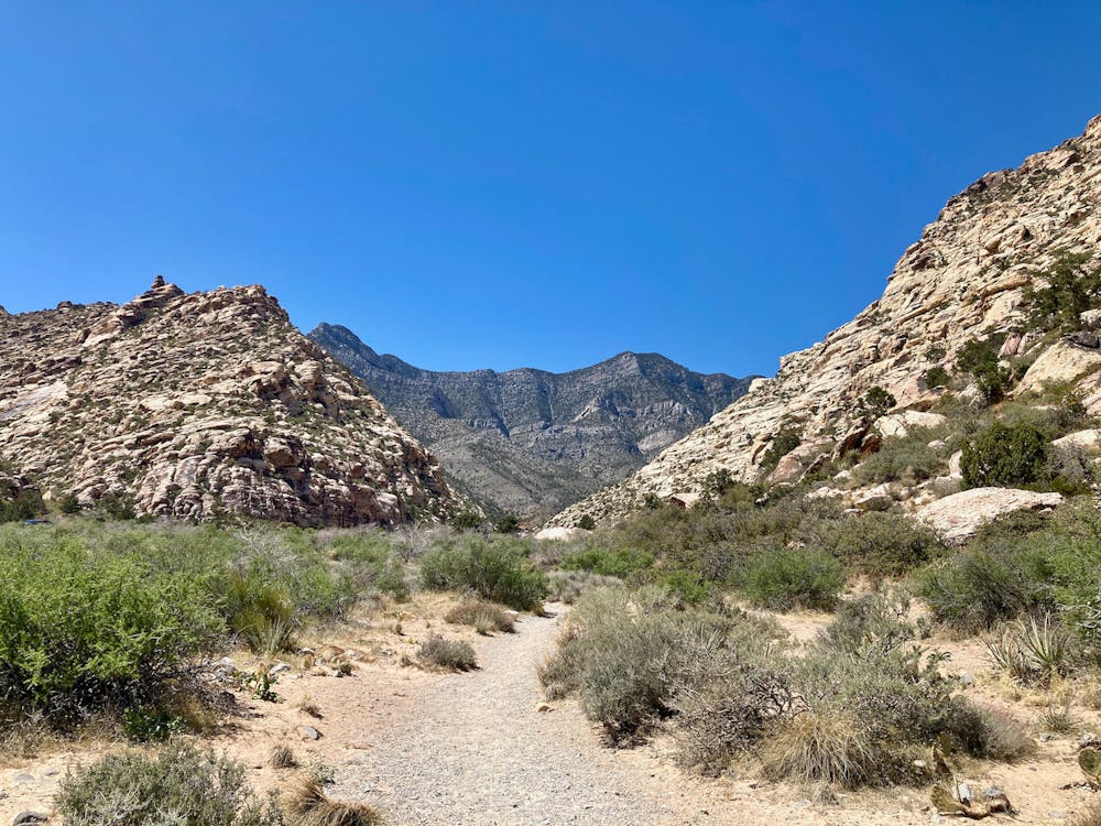
There are a few different trailheads to choose from on the front of the mountain, and the loop can be hiked in either direction. If heading in a counter-clockwise direction, "the trail loops behind White Rock Mountain, through a forested area of pines and junipers," according to PlanetWare.com. "This is one of the nicest sections of the trail, giving you the feeling of a remote backcountry hike."
As you near the Willow Spring Picnic Area, the trail gets decidedly less pleasant as it follows a 4x4 road that's often choked with jeep traffic. However, after passing the picnic area, you'll get back on singletrack as you skirt the front of the mountain to return to your starting point.
Even though this entire hike isn't on singletrack, the remote stretches of trail devoid of crowds and the appealing loop route make this a high-quality adventure in the Red Rock Canyon Conservation Area!
Moderate
Hiking along trails with some uneven terrain and small hills. Small rocks and roots may be present.

The trail contains some obstacles such as outcroppings and rock which could cause injury.

Little chance of being seen or helped in case of an accident.
2.7 km away
Hike up a rough trail into a stunning canyon.
Difficult Hiking
2.7 km away
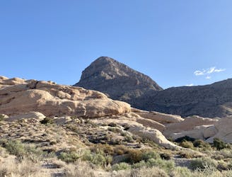
This upthrust rock formation stands prominently by itself, providing an unbelievable 360-degree view from the summit!
Extreme Hiking
2.7 km away
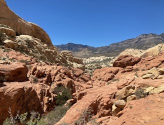
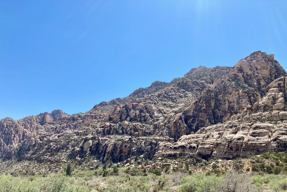
A popular and stunning, yet somewhat technical, hike in Red Rocks.
Severe Hiking
5.2 km away
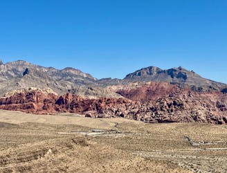
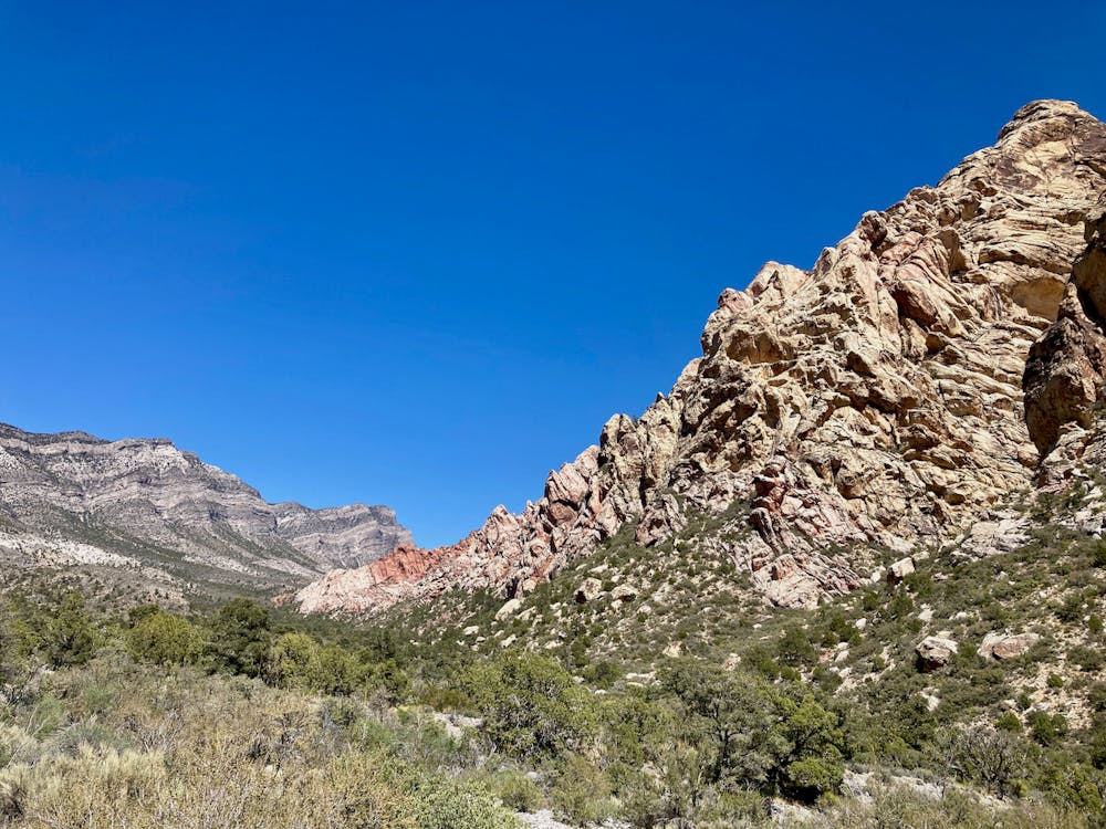
Visually-stunning hike along the base of Calico Hills.
Moderate Hiking
7 km away
A beautiful hike near Red Rocks that doesn't require a reservation.
Difficult Hiking

5 routes · Hiking

8 routes · Hiking
5 routes · Hiking

10 routes · Hiking