9.1 km away
Appalachian Trail: Franconia Notch to Crawford Notch
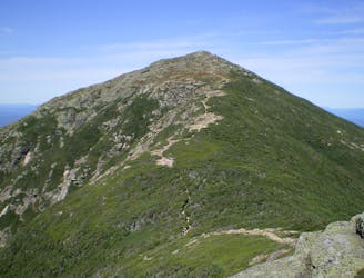
A perfect segment to shuttle, bagging several 4,000-footers along the way.
Severe Hiking
- Distance
- 40 km
- Ascent
- 2.5 km
- Descent
- 2.6 km
Out and back to the top of one of New Hampshire's 4000 footers
Hiking Difficult
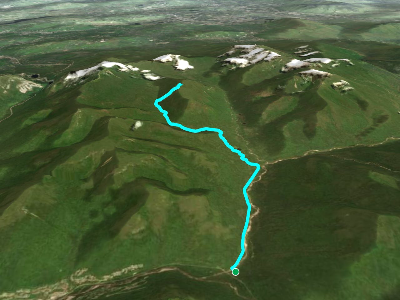
This is a popular hiking route which is generally considered to be difficult. It's extremely remote, it features medium exposure and is typically done between May and November. From a low point of 348 m to the maximum altitude of 1.2 km, the route covers 25 km, 970 vertical metres of ascent and 970 vertical metres of descent.
A long hike to the top of Owl's head, one of NH's 4000 footers. The trail is located in Lincoln, NH.
Difficult
Hiking trails where obstacles such as rocks or roots are prevalent. Some obstacles can require care to step over or around. At times, the trail can be worn and eroded. The grade of the trail is generally quite steep, and can often lead to strenuous hiking.

The trail contains some obstacles such as outcroppings and rock which could cause injury.

In the high mountains or remote conditions, all individuals must be completely autonomous in every situation.
9.1 km away
A perfect segment to shuttle, bagging several 4,000-footers along the way.
Severe Hiking

58 routes · Hiking

25 routes · Alpine Climbing · Hiking

10 routes · Hiking