1.4 km away
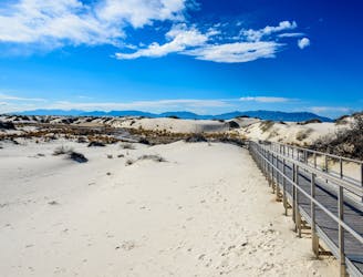
Backcountry Camping Trail
A quiet 2-mile loop with numerous opportunities to pitch a tent under the stars.
Moderate Hiking
- Distance
- 2.7 km
- Ascent
- 21 m
- Descent
- 21 m
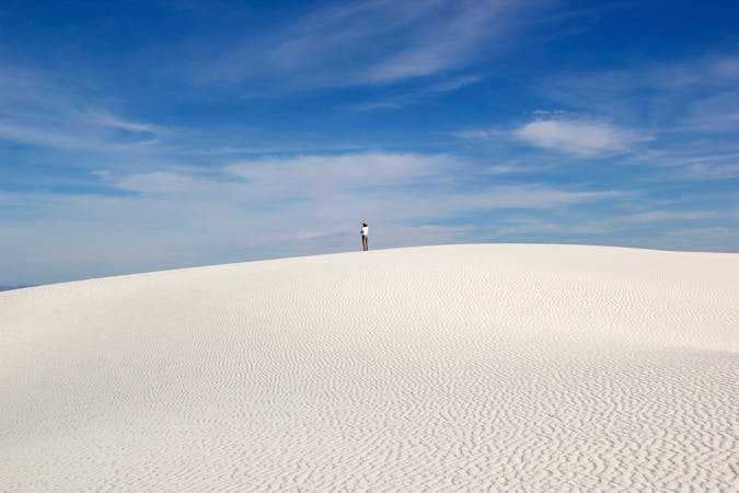
A challenging hike with endless views as you wander through snow-white sand dunes.
Hiking Difficult

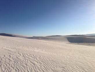
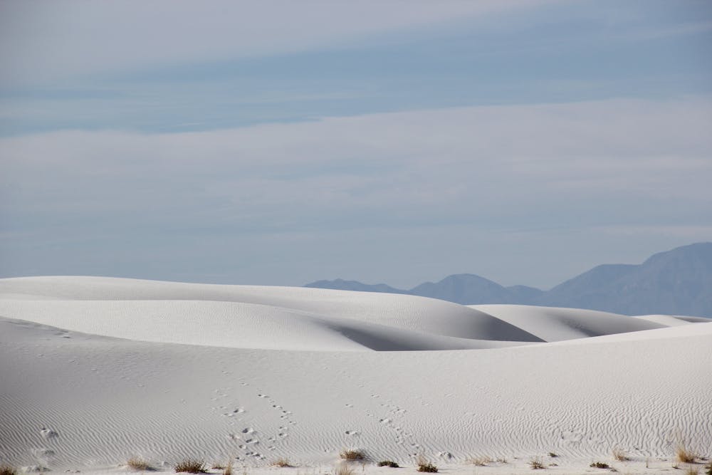
The Alkali Flat Trail is both the longest and most difficult hike in White Sands National Park. Despite its name, it is not flat, but instead wanders through the expansive snow-white gypsum dunes, offering expansive views all along the way. If you yearn for "spectacular views of endless dunes with few footprints," then this hike is for you.
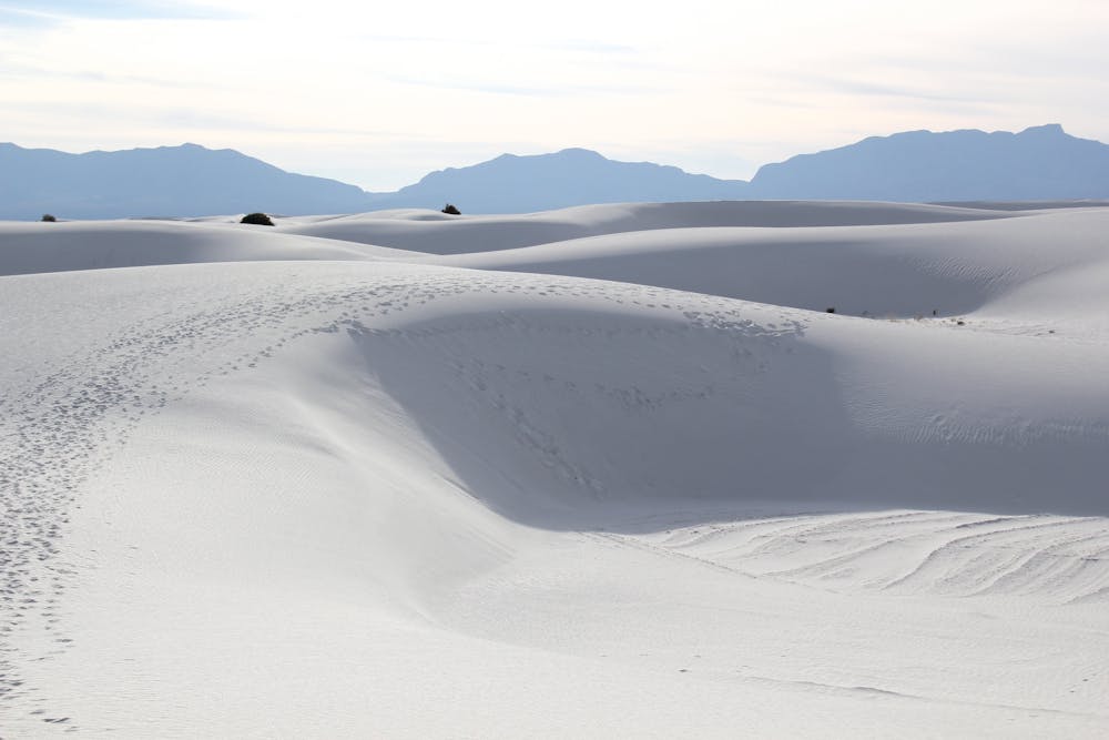

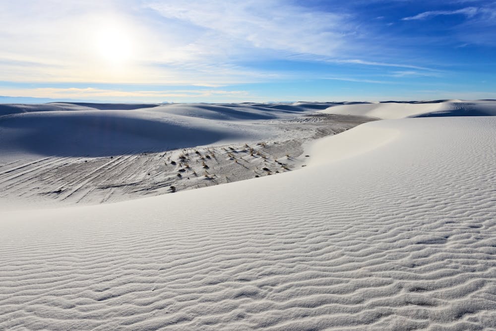
According to the NPS, "the Alkali Flat is the dry lakebed of Lake Otero, a lake that filled the bottom of the Tularosa Basin during the last ice age and covered 1,600 square miles." Other shorter hikes in the park, such as the Dune Life Nature Trail and Playa Trail, highlight the ever-evolving sand dunes, as well as the abundance of wildlife that thrive in this seemingly-barren wasteland.
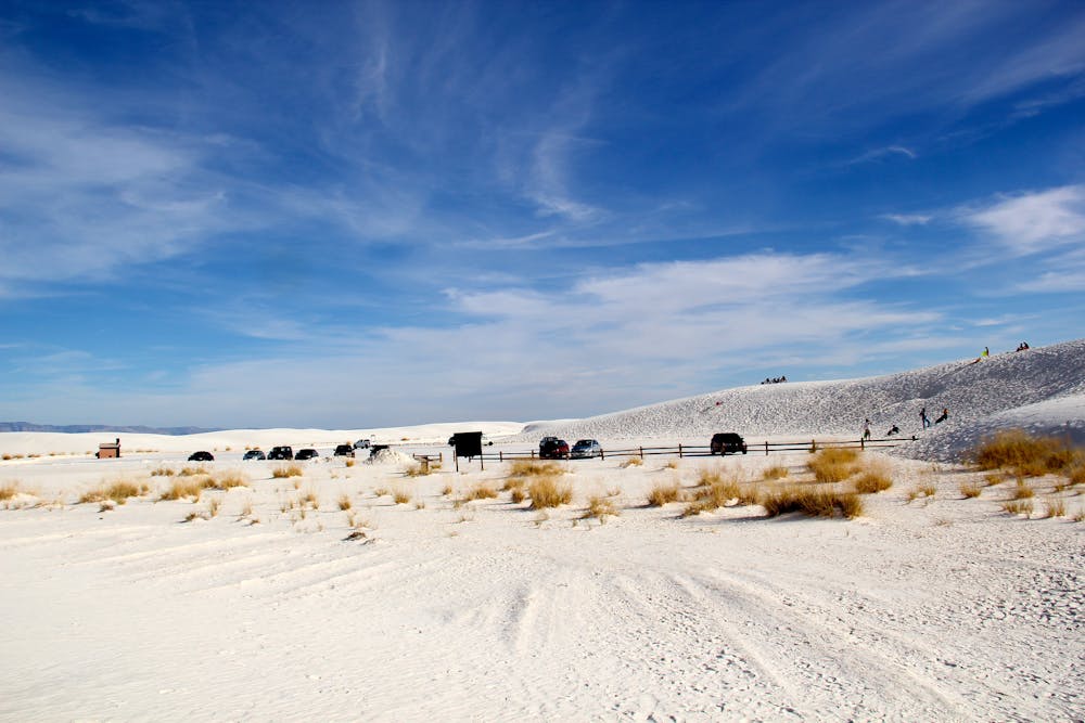
The start of this hike is located at the end of the road, about seven miles from the Visitor Center. The parking lot is large and suitable for larger vehicles or trailers, but there is no potable water or shade available once there. A vault toilet is available nearby, however.
The Alkali Flat Trail is blazed with a red diamond marker. Under normal conditions, it is easy to follow; however, the National park Service warns that "if you cannot see the next trail marker because of blowing sand or because the trail marker is knocked down, do not proceed - return to your car." Weather conditions, especially strong winds, has been known to limit visibility to mere feet, and temperature can exceed 100 degrees during the summer months. The NPS also recommends visitors "do not start the hike if the temperature is at or above 85°F (30°C).
Difficult
Hiking trails where obstacles such as rocks or roots are prevalent. Some obstacles can require care to step over or around. At times, the trail can be worn and eroded. The grade of the trail is generally quite steep, and can often lead to strenuous hiking.

Some trail sections have exposed ledges or steep ascents/descents where falling could cause serious injury.
Little chance of being seen or helped in case of an accident.
1.4 km away
A quiet 2-mile loop with numerous opportunities to pitch a tent under the stars.
Moderate Hiking
4.4 km away
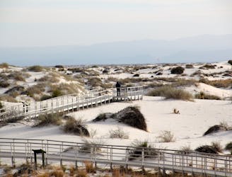
A fully-accessible and pet-friendly short hike highlighting "the science, geology, plants, and animals that make White Sands an unequaled natural wonder."
Easy Hiking
6.4 km away
The easy, level hike through a playa with an ever-changing habitat fueled by rain and summer monsoons.
Easy Hiking
6.4 km away

An easy self-guided hike perfect for the entire family!
Moderate Hiking
5 routes · Hiking

22 routes · Mountain Biking · Hiking · Trail Running

63 routes · Alpine Climbing · Hiking