11 routes · Hiking

Two long wilderness traverses through vast meadows, deep canyons, and stands of spruce and pine.
Hiking Difficult

This section of the CDT begins in Cuba, NM, at one of the trail's official Gateway Communities. Known for its "full-service amenities and a wealth of opportunity for adventure-seekers and Southwest enthusiasts," the town of 750 residents is a highly-anticipated stop for those hiking the trail north, the CDT Coalition notes.

Beginning near the crossroads in town, this section starts with a short road walk heading east from town, then transitions into a steep and technical trail as you head towards Nacimiento Peak. Worth noting, some maps note an alternative route - likely an older version of the trail - which heads north to Los Pinos Trailhead, then east to rejoin the current trail in San Pedro Parks Wilderness Area. This route was mapped according to data available in 2021 by the CDT Coalition.
According to Wikipedia, the Nacimiento Mountains and San Pedro Mountains are often paired together when referring to the mountains in the area. Unique to the trail thus far, this "range receives more orographic precipitation than many other New Mexico mountains," meaning the trail tends to stay soggy and/or muddy through the majority of the year. As for its history, "the name "Nacimiento" means literally "birth" or "the Nativity" but also "source of a river." The latter meaning applies here since the Rio Puerco has its source on the west side of the mountains," the article continues.
After circling Nacimiento Peak, the trail turns north to pass by the San Gregorio Reservoir. Nearly all comments on the CDT Water Report list it as a year-round resupply point, with a slow - yet consistent - inflow. Fishing is another popular reason to visit the reservoir, though if you're thru-hiking, it's doubtful you brought a rod and reel along for the trek.
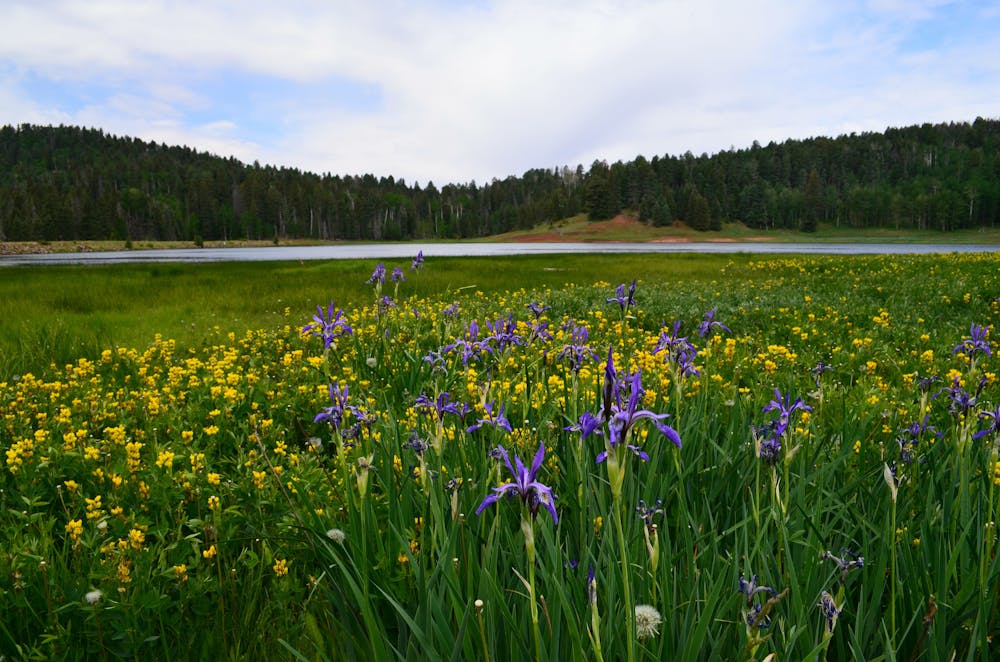
Continuing north, the trail leads into the San Pedro Parks Wilderness, named for the grassy meadows along the plateau that are "interspaced with forests of Engelmann spruce, other conifers, and Quaking Aspen," according to this source. Wildlife typical of the southern Rocky Mountains can often be observed, and it's noted by many that cattle can be found grazing in the area.
Dividing this section in two, NM-96 notes the official end of the San Pedros, and the beginning of the Chama River Canyon Wilderness. Encompassing nearly 50,000 acres in both Santa Fe and Carson National Forests, the abundance of water and lush flora offer a stark contrast to the barren desert found in the southern half of the state.
Dissecting the Chama River Canyon Wilderness, the Rio Chama River (or Chama River) is considered a Wild and Scenic River thanks to the Wild & Scenic Rivers Act of 1968. Its purpose, according to the U.S. Congress, is to "preserve certain rivers with outstanding natural, cultural, and recreational values in a free-flowing condition for the enjoyment of present and future generations." Hikers will cross the river via Skull Bridge, and a remote forest service road even offers vehicle access since the wilderness area is non-contiguous.
With just 15-miles to go, the final portion of this segment traces the rim of the large plateau, then ends at US-84 in Martinez Canyon. Though the dirt pull-off serves as a great start for a day hike, overnight parking is not allowed.
Sources: https://continentaldividetrail.org/ https://continentaldividetrail.org/cdt-gateway-communities/cuba/ https://en.wikipedia.org/wiki/SierraNacimiento https://en.wikipedia.org/wiki/SanPedroParksWilderness https://en.wikipedia.org/wiki/ChamaRiverCanyonWilderness
Difficult
Hiking trails where obstacles such as rocks or roots are prevalent. Some obstacles can require care to step over or around. At times, the trail can be worn and eroded. The grade of the trail is generally quite steep, and can often lead to strenuous hiking.

11 routes · Hiking

40 routes · Hiking