11 routes · Hiking
Hike this section of the CDT as it transitions from the barren Chihuahuan Desert, into the Big Burro Mountains.
Hiking Difficult

After a brief road walk heading north out of Lordsburg, the CDT veers eastward just after reaching NM-90. For section hikers, there is a small roadside parking area where the trail leaves the road, but overnight parking is not allowed.
The first part of this section meanders along the desert floor, then skirts along the eastern slopes of the 7,000-foot Hornbrook Mountain. Intermittent water is available at troughs, water tanks, and seasonal springs along the way.
The northern portion of this segment begins when the trail again crosses NM-90 at Walking X Ranch Rd. There are several parking spots available for overnight use, plus parking for horse trailers.
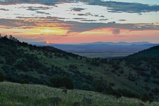
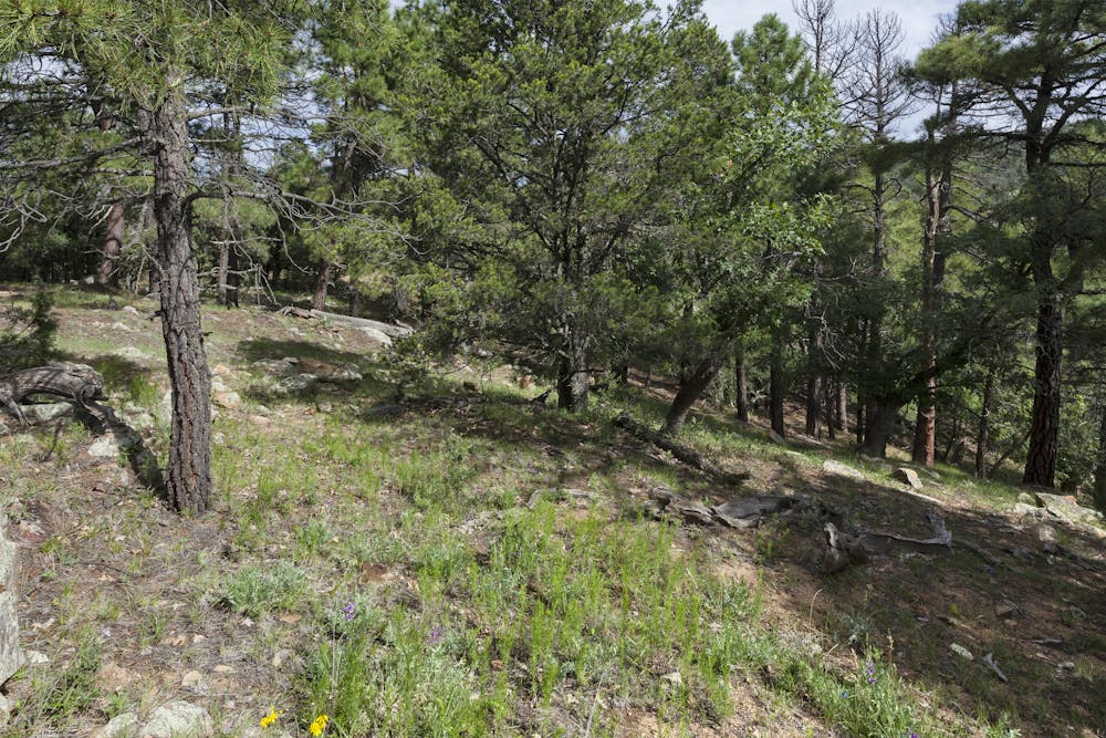
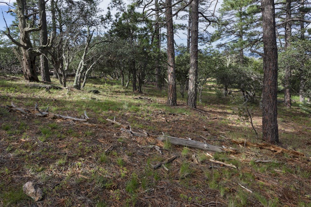
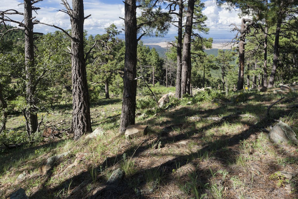
North of the trailhead, the CDT wanders into the Big Burro Mountains, the highlight of this segment. Nearly 35-miles long and up to 18-miles wide, the mountain range defines the northwestern boundary of the Chihuahuan Desert, which you will likely notice by a change in flora and fauna. The trail also passes over Big Burro (8,035'), and a parking area along the highway makes it an excellent choice for a 10-ish mile day hike, or overnight trip from the trailhead.
Those in search of reliable water and a good night's rest may enjoy camping at the Burro Mountain Homestead, 2-miles beyond Burro Peak and slightly east of the trail. According to the CDT Water Report, thru-hikers are welcomed to stay along the property for a small fee, and to utilize their amenities while they are there. According to an older trail report, water sources for the next 20 miles are very dependent on rain flow, rather than storage tanks, troughs, or wells often found to the south.
Rounding out this section, the trail navigates around Bullard Peak, then joins onto a dirt road that leads towards town. A paved road walk on US-180 leads into Silver City, where the segment ends at a trailhead for the Boston Hill Open Space. Silver City is also noted as the trail's first Gateway Community, "a vibrant community and a hotbed for the arts... tucked in the high desert of southwest New Mexico on the ancestral land of the Chiricahua Apache Nation," according to this source.
Difficult
Hiking trails where obstacles such as rocks or roots are prevalent. Some obstacles can require care to step over or around. At times, the trail can be worn and eroded. The grade of the trail is generally quite steep, and can often lead to strenuous hiking.

Some trail sections have exposed ledges or steep ascents/descents where falling could cause serious injury.
Little chance of being seen or helped in case of an accident.
11 routes · Hiking

40 routes · Hiking