11 routes · Hiking
The northernmost section of the CDT in New Mexico as it crosses over some of the state's highest peaks.
Also in Colorado, United States of America
Hiking Difficult

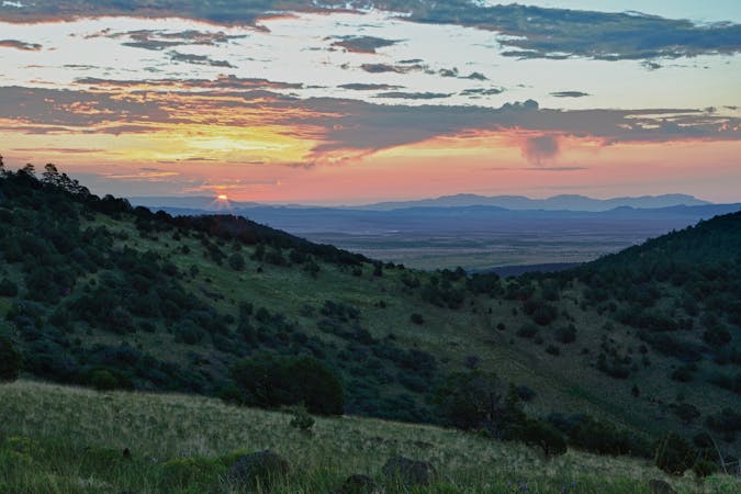
Rounding out the northernmost segment of New Mexico, the Continental Divide Trail begins at a small trailhead on US-84, known locally as Martinez Canyon. Neither overnight parking nor potable water are available, though the trailhead is located along a small river that tends to flow year-round. The CDT Water Report also notes an abundance of sources along this stretch, so don't worry about finding more - there are plenty. In fact, the nearby San Pedro Mountains receive "more orographic precipitation than many other New Mexico mountains," meaning the trail tends to stay soggy and/or muddy through the majority of the year, this source notes.
After traversing a long mesa heading northeast, the trail circles Mogot Peak (10,000'), and Canjilon Mountain (10,013'), with Canjilon Lakes Campground nestled along its southern face. According to Wikipedia, "the word cajilon is the term for deer antler in Northern New Mexico Spanish," and is named because it resembles an antler. The campground is free to use, though some activities may require a permit or fee based on activity. A small village with a convenience store and gas station is also located just 6 miles away.
Moving north, the trail wanders along quiet canyonlands before running alongside Quartzite Peak and Burned Mountain. Just 5-miles from US-64 (and the only major road crossing on this segment), the trail wanders into Hopewell Lake Campground. The man-made lake offers a welcoming supply of water for thru-hikers, though reservations should be made in advance if you intend to spend the evening there.
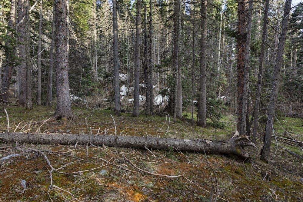
The final ~40-miles of this section are rather quiet and far from civilization, though the spiderweb of forest service roads you'll cross is quite elaborate. Water tends to be available in steady increments, and the flora will transition from lush, green northward-facing slopes, with quiet canyonlands comprising the rest.
The northern terminal is at Cumbres Pass on CO-17, the first major road crossing in Colorado. About a 15-minute drive to the south, New Mexico's final Gateway Community, Chama, is a "small but diverse community that values its natural and cultural heritage," according to the CDT Coalition. "The Tewa Puebloans were the first to inhabit the valley about 1,00 years ago," the article continues, and many of the original irrigation canals that were dug are still used to this day.
Sources: https://en.wikipedia.org/wiki/Canjil%C3%B3nMountain https://continentaldividetrail.org/ https://www.fs.usda.gov/recarea/carson/recarea/?recid=44074 https://www.fs.usda.gov/recarea/carson/recarea/?recid=44070 https://continentaldividetrail.org/cdt-gateway-communities/chama/
Difficult
Hiking trails where obstacles such as rocks or roots are prevalent. Some obstacles can require care to step over or around. At times, the trail can be worn and eroded. The grade of the trail is generally quite steep, and can often lead to strenuous hiking.

The trail contains some obstacles such as outcroppings and rock which could cause injury.

Little chance of being seen or helped in case of an accident.
11 routes · Hiking

40 routes · Hiking