11 routes · Hiking
A quiet section of the CDT ending with a long road walk into the world-famous Pie Town.
Hiking Moderate

This section of the CDT begins at NM-12 where the trail crosses the road heading north. A parking area and dispersed camping are available along the south side of the road, though neither water nor restrooms are available.
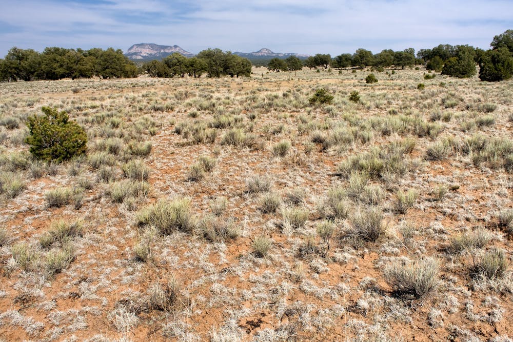
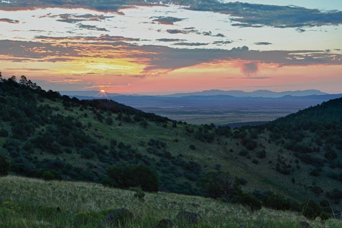
The first portion of this hike wanders along barren canyonlands, with higher peaks towering overhead to the east. Numerous forest service roads are located in the area, making it a great option for dispersed camping, even for those who would rather drive to a campsite. 4x4 and OHV users also frequent the area, so be mindful any time you cross a road.
Though the CDT Water Report lists tanks and wells in the vicinity, they may be dry, and water can be scarce through this area. The Calle Tio Vinces Campground is also located nearby and offers access to the CDT via one of many forest service roads. The free campground is also partially developed, and the forest service considers it a "nice resting spot for hikers and bike riders," while equestrian users often make use of the horse corrals for overnight camping. Still, no water is available at the campground, so plan accordingly.
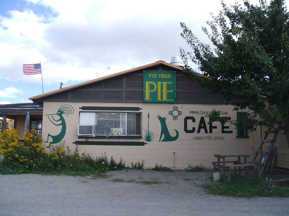
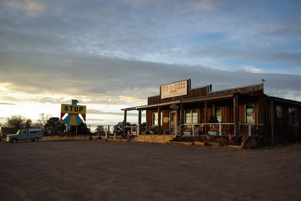
North of the campground, the grassy hillsides parallel a county road as the trail drops into a barren, high desert landscape. When you arrive at US-60 near Omega, turn right and finish this section with a road walk into Pie Town. With a 2010 population of 186 residents, the town's main appeal is an annual Pie Festival, held on the second Saturday of every September. According to Wikipedia, the town's "name comes from an early bakery that specialized in dried-apple pies," and the quaint roadside stop even boasts the motto of being America's Friendliest Little Town, the article continues.
Though there is no clear parking area in town, a small RV park is available for those with larger vehicles, or you could drive north and camp on one of the many forest service roads in the area. Also worth noting, if you're just driving through - consider a trip to the VLA, part of the National Radio Astronomy Observatory and just a few miles east of town. 27 massive arrays are located on a railroad track and repositioned into different configurations based on the current research. The area was also "the setting for the 1997 movie Contact," according to the same article.
Sources: https://continentaldividetrail.org/ https://en.wikipedia.org/wiki/NationalRadioAstronomyObservatory https://www.fs.usda.gov/recarea/gila/recarea/?recid=1961
Moderate
Hiking along trails with some uneven terrain and small hills. Small rocks and roots may be present.

The trail contains some obstacles such as outcroppings and rock which could cause injury.

Little chance of being seen or helped in case of an accident.
11 routes · Hiking

40 routes · Hiking