11 routes · Hiking
A long westward traverse defined by grassy canyonlands and high mountain peaks.
Hiking Difficult

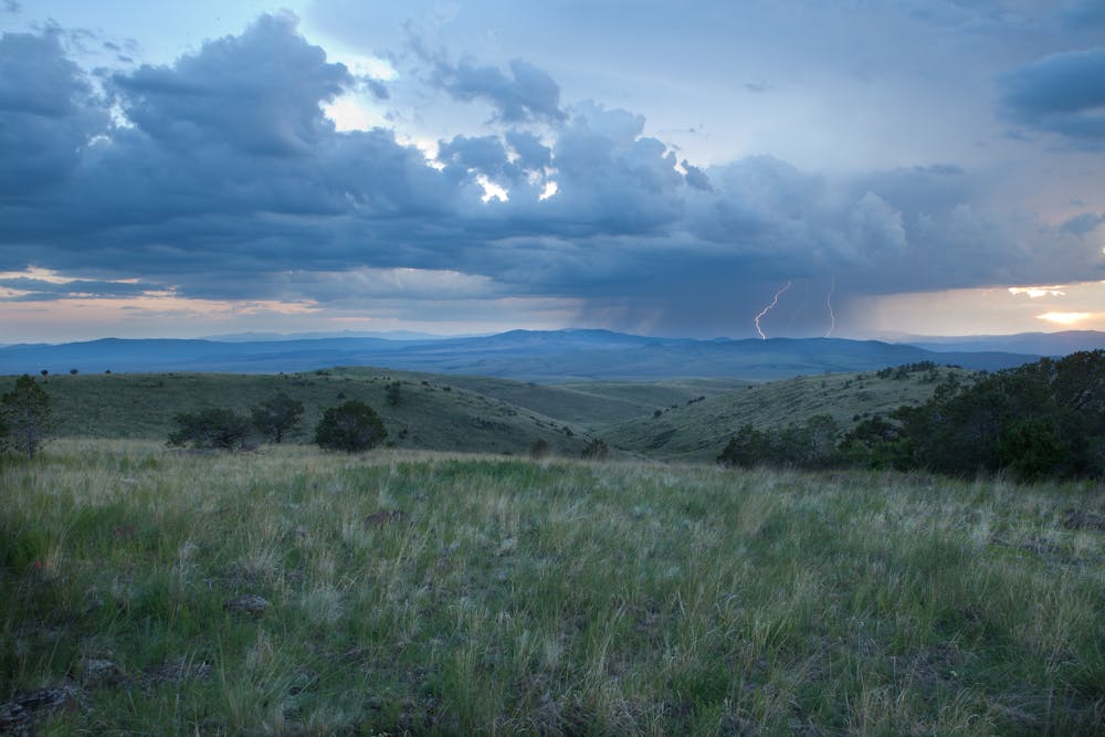
This section of the CDT begins at NM-163 on the northernmost tip of New Mexico's infamous Black Range. As one of the state's wildest wilderness areas, the mountains are full of silver and gold mining history, and dependable water is quite limited according to the CDT Water Report. Unreliable water sources are listed as you near the trailhead, though a reliable pond can be found about 13-miles into this section.
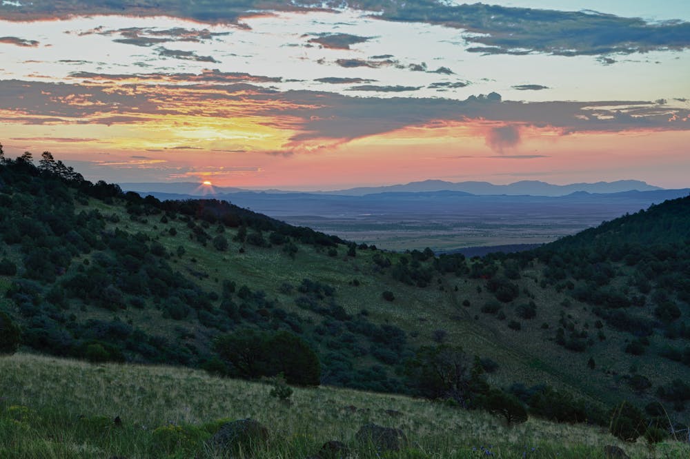
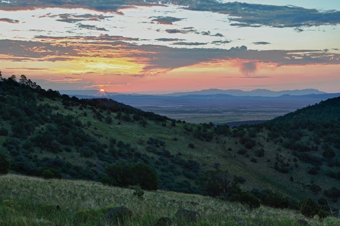
Heading westward, the first portion of this hike traverses the Continental Divide Wilderness Study Area, with the 9,212-foot Pelona Mountain standing as the most prominent point. According to the BLM, the "rolling grassland gives way to steeper slopes covered in pinon pine woodland and ponderosa pine forest, although the summit of the mountain itself is mostly grassland." As such, the views "stretch out for miles," making it an excellent section for a shorter backpacking trip or section hike.
Leaving the WSA, the trail shifts northwest and eventually north as it runs through Gila National Forest towards NM-12. Several high mountain peaks line the way, and rugged 4x4 forest service roads offer infrequent access to some areas.
A small trailhead is located at Cox Canyon Road near mile 353 on the CDT, though limited information is available. According to the CDT Water Report, sources in the area are also slim, so don't pass an opportunity to refill when you find one. Even the tanks and wells in this area have been known to dry up at times.
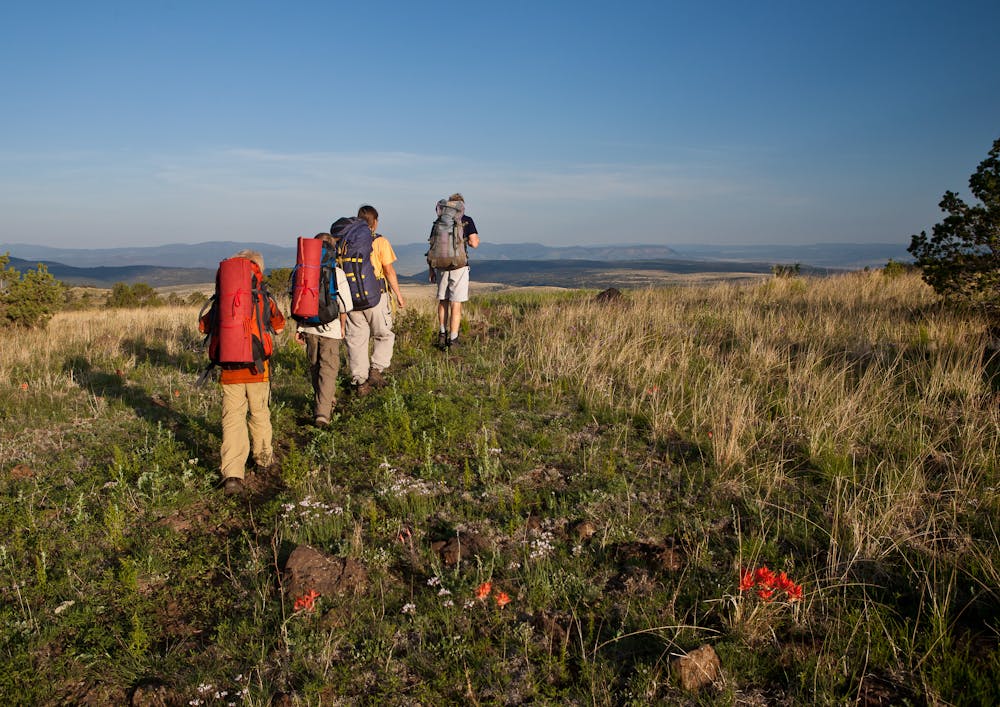
The northern terminus for this section is at NM-12, just east of Apache Creek. Parking is abundant, though neither restrooms nor water are available. A small unpaved loop offers car camping and plenty of dispersed camping options, though there are few nearby destinations for day hikes for anyone not thru-hiking the trail.
Sources: BLM CDT Coalition
Difficult
Hiking trails where obstacles such as rocks or roots are prevalent. Some obstacles can require care to step over or around. At times, the trail can be worn and eroded. The grade of the trail is generally quite steep, and can often lead to strenuous hiking.

Some trail sections have exposed ledges or steep ascents/descents where falling could cause serious injury.
Little chance of being seen or helped in case of an accident.
11 routes · Hiking

40 routes · Hiking