11 routes · Hiking
A long road walk followed by a tour around the stunning El Malpais National Monument.
Hiking Moderate

This section of the CDT begins in the small community of Pie Town, aptly named for an annual Pie Festival held on the second Saturday of every September. If you're thru-hiking north, chances are you'll be long gone by the time of the festival, though a small general store and pie shop are open year-round for hikers and travelers to resupply.
Should you have the time, the VLA (or Very Large Array), can also be seen just east of town. 27 massive satellites are positioned on a railroad grid and repositioned into varying configurations based on the research goals. The area was also "the setting for the 1997 movie Contact," according to Wikipedia.
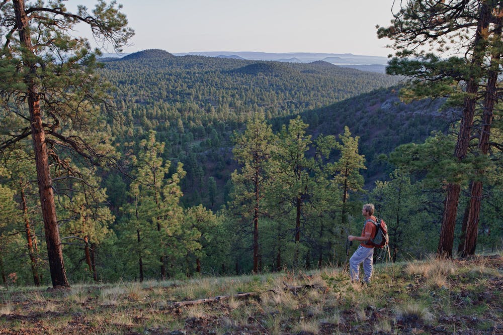
Heading north, a ~35-mile road walk kicks things off as you head for NM-117. When you arrive, head west on the highway and pick up the trail on the right side of the road about 2-miles down. Ahead of you is a stunning conglomerate of public lands, including El Malpais Natural Area, Chain of Craters WSA, and more. For those looking for a scenic section hike along the trail, the next ~60-miles of the CDT circle these public lands before looping back to NM-117.
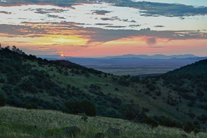
According to Wikipedia, "El Malpais is from the Spanish term Malpaís, meaning badlands, due to the extremely barren and dramatic volcanic field that covers much of the park's area." It's also said that the area is home to some of the oldest Rocky Mountain Douglas-fir trees. Other than hiking, caving is another reason to visit the area, thanks to the many lava tubes that you can explore on your own. A free permit is available at one of the park Visitor Centers.
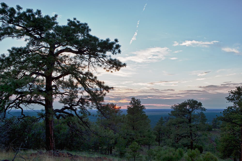
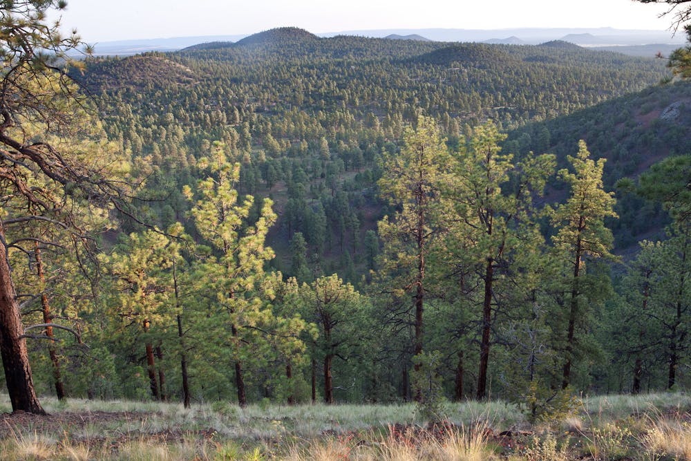
In addition to the El Malpais National Monument and Conservation Area, the trail also passes through the Chain of Craters Wilderness Study Area. According to the BLM, "the lower elevations are dominated by pinon and juniper woodlands that give way to forests of ponderosa pine at higher elevations." The stunning lava flows, sandstone formations, and overall dramatic landscape make this one of the most stunning areas the trail has explored so far.
Rounding this section out, you'll make your way north into Grants, one of the designated CDT Gateway Communities. The area was once home to other cultures, including the Zuni and Navajo peoples, and "visitors to Grants will find a diverse, welcoming community, small-town friendliness, and fascinating history at every turn," the CDT Trail Coalition notes.
Sources: https://continentaldividetrail.org/ https://en.wikipedia.org/wiki/NationalRadioAstronomyObservatory https://en.wikipedia.org/wiki/ElMalpaisNationalMonument https://www.blm.gov/visit/chain-of-craters-wsa
Moderate
Hiking along trails with some uneven terrain and small hills. Small rocks and roots may be present.

Some trail sections have exposed ledges or steep ascents/descents where falling could cause serious injury.
Little chance of being seen or helped in case of an accident.
11 routes · Hiking

40 routes · Hiking