10 m away
Continental Divide Trail
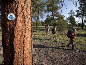
Long-distance trail along the crest of the Rocky Mountains from Mexico to Canada.
Difficult Hiking
- Distance
- 4489 km
- Ascent
- 45 km
- Descent
- 45 km
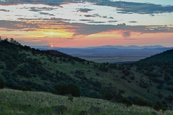
The southernmost section of the CDT as it explores the Chihuahuan Desert and crosses the Big Hatchet Mountains.
Also in Chihuahua, Mexico
Hiking Moderate

Beginning at this obscure point on the border between the U.S. and Mexico, the Continental Divide Trail begins a wild 3000-mile journey northward towards Canada. Though arriving at the trailhead is almost as much of a journey as the trail itself, northbound hikers flock to the Crazy Cook Monument every spring, often setting their sights on April 15th to begin their journey. Though this section has plenty to offer, know that day hikes are limited on this stretch due to limited access points.
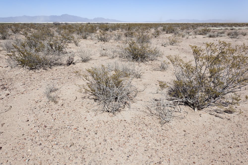
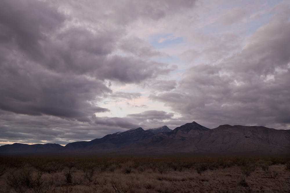
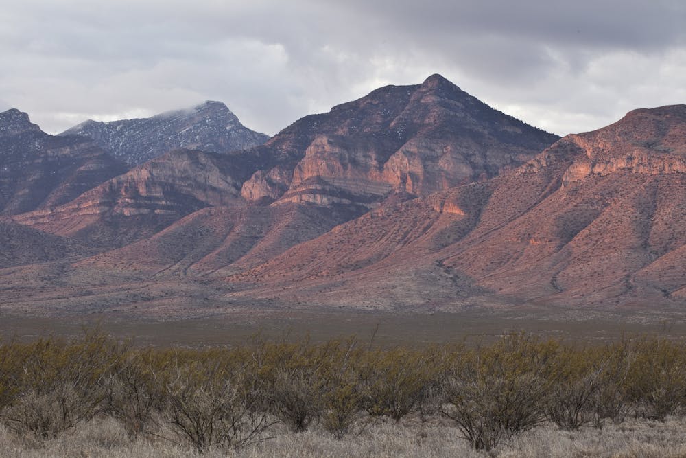
For thru-hikers beginning their journey, this section of the CDT "boasts an extensive history of war, pioneering adventure, and Native American resettlement to add to its mystique," the CDT Coalition describes. This section also passes through the heart of the Chihuahuan Desert and provides a sanctuary for endless wildlife, notably golden eagles, kestrels, and other birds along the steep cliffsides. "Other species of note found in the area include desert bighorn sheep, mule deer, pronghorn, javelina, mountain lion, thick-billed kingbird, varied bunting, several species of rattlesnakes and the Sonoran mountain kingsnake," the article continues.
The CDT's official southern terminus is at the Crazy Cook Monument, due south of the small New Mexico town of Hachita. After ~20-miles of paved state highways, you'll make an obscure turn onto a maintained dirt road. From there, the remainder of the drive is unpaved. Some sources even recommend 4x4 or a higher-clearance vehicle, though others make no mention of the road conditions.
Due to the unwelcoming desert heat, "this section is not recommended during the hot, dry summer months," the coalition suggests - though an up-to-date listing of water sources can always be found here if you begin your hike later in the season.
Moderate
Hiking along trails with some uneven terrain and small hills. Small rocks and roots may be present.

The trail contains some obstacles such as outcroppings and rock which could cause injury.

Little chance of being seen or helped in case of an accident.
10 m away
Long-distance trail along the crest of the Rocky Mountains from Mexico to Canada.
Difficult Hiking
11 routes · Hiking

40 routes · Hiking