Dripping Springs Loop
A day hike around Dripping Springs Natural Area with impressive views of the Organ Mountains to the east.
Hiking Moderate
- Distance
- 8.1 km
- Ascent
- 262 m
- Descent
- 262 m
- Duration
- 2-3 hrs
- Low Point
- 1.6 km
- High Point
- 1.9 km
- Gradient
- 5˚

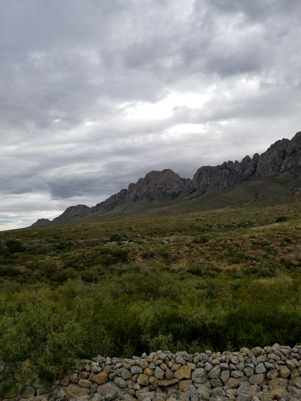
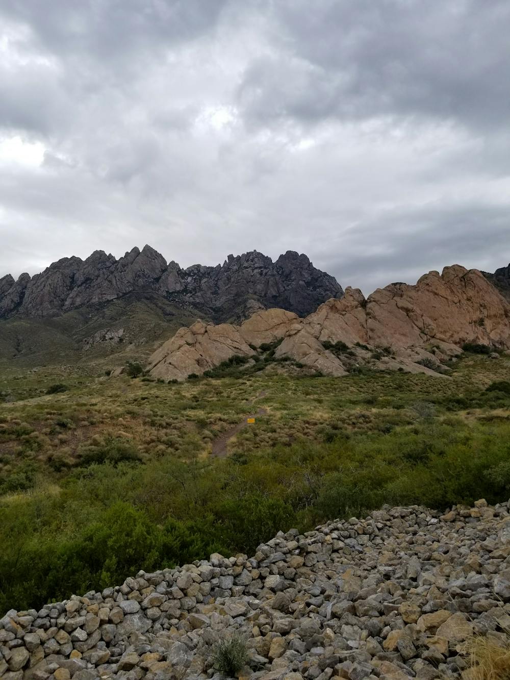
Roughly 10 miles out of Las Cruces and less than 1-hour from White Sands National Park, the Dripping Springs Natural Area offers several miles of hiking trail along the western slopes of New Mexico's Organ Mountains. This circuit links the Fillmore Trail, Crawford Trail, and Dripping Springs Trail for a 5-mile day hike through the Chihuahuan Desert landscape, notably the pinion-juniper and oak woodlands defining the lower elevations along the highest peaks.
- •
- •
- •
Description
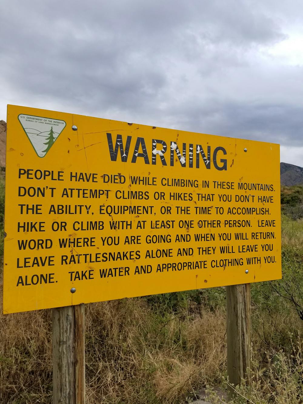
Dripping Springs is an excellent area to view wildlife year-round, including the Gambel's quail, golden eagle and rock squirrel, as noted by the BLM. One can also "watch for black-throated sparrow, ladder-backed woodpecker, verdin, black-tailed gnatcatcher, lesser nighthawk, Scott's oriole, cactus wren, desert cottontail, and collared and tree lizard in the spring and summer."
The trailhead for this hike is near the day-use picnic area within the Natural Area. Restrooms are available in the vicinity, water is available at the visitor center, and there is a $5 fee per vehicle for day use. Most facilities are open year-round, though they are occasionally closed on holidays.
Difficulty
Moderate
Hiking along trails with some uneven terrain and small hills. Small rocks and roots may be present.