6.3 km away
Pino Trail
From a public park to high-elevation wilderness along the Sandia Crest.
Difficult Hiking
- Distance
- 14 km
- Ascent
- 869 m
- Descent
- 869 m
A grueling but worthy ascent (or descent) of the Sandia Crest.
Hiking Difficult

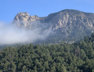
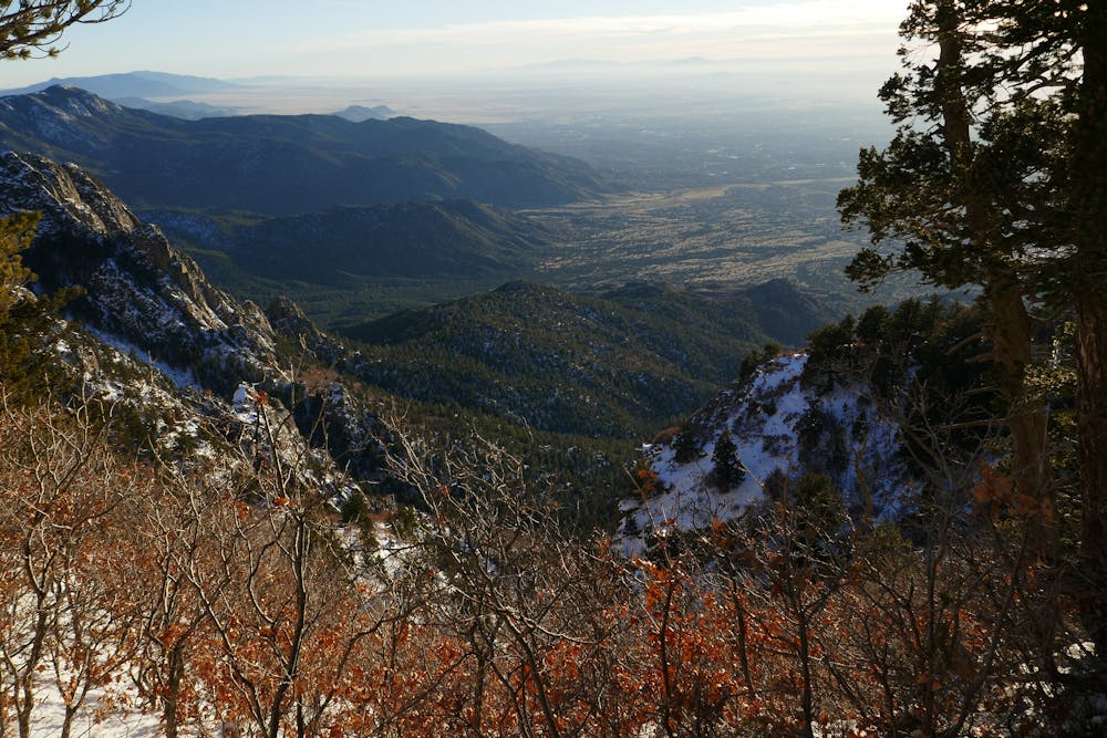
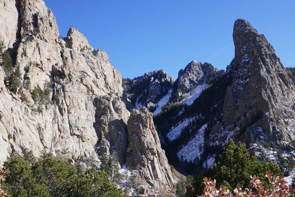
La Luz Trail is the premier hike in the Sandia Mountains, starting from the foot of the range near Albuquerque and climbing to the top of the Sandia Crest. It's a strenuous climb with huge elevation change, rocky for much of the way, and riddled with switchbacks.
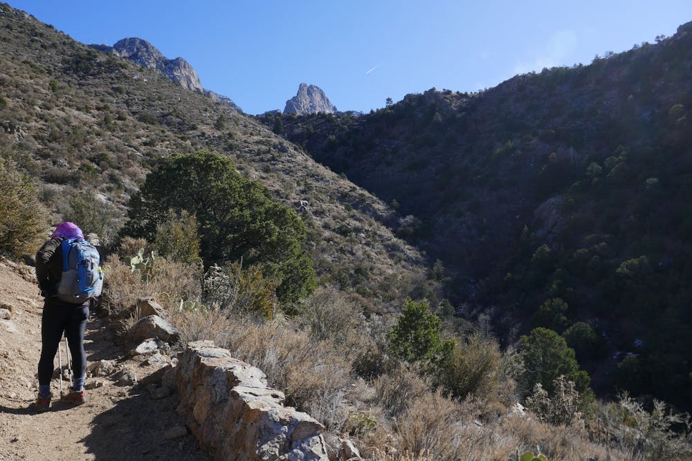
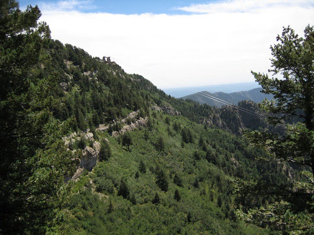
Even still, it's a popular hike, and it's made more accessible by the Sandia Peak Tramway. The top of the trail is near the top of the tram, so you can hike just one way, either down or up the La Luz Trail, with a vehicle shuttle between the trailhead and the bottom of the tram. What's mapped here is the full out and back starting from the bottom.
In summer, the lower elevations are dangerously hot, and in winter, the upper elevations are snowbound. Thus, not every portion of the trail is popular all year, but the tram and road access at the top makes the upper reaches ideal in summer, while the lower reaches are comfortable in winter. For hiking the entire trail as an out and back, early summer and early fall are usually perfect. The best thing about La Luz trail--apart from the incredible views over Albuquerque--is that it's customizable for hiker abilities and the time of year.
There is a modest entry fee for parking at the trailhead, and the tram requires purchasing a ticket, whether riding down or up. Note that dogs are allowed on the trail but not on the tram.
Source: https://www.fs.usda.gov/recarea/cibola/recreation/hiking/recarea/?recid=64582&actid=50
Difficult
Hiking trails where obstacles such as rocks or roots are prevalent. Some obstacles can require care to step over or around. At times, the trail can be worn and eroded. The grade of the trail is generally quite steep, and can often lead to strenuous hiking.

Some trail sections have exposed ledges or steep ascents/descents where falling could cause serious injury.

Away from help but easily accessed.
6.3 km away
From a public park to high-elevation wilderness along the Sandia Crest.
Difficult Hiking
9.3 km away
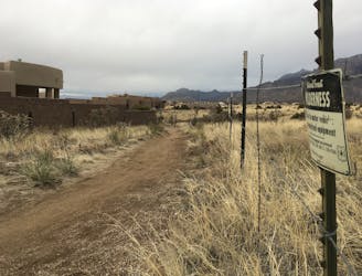
Albuquerque's town trails deliver beautiful views and entertaining singletrack.
Moderate Hiking

22 routes · Mountain Biking · Hiking · Trail Running