7 routes · Hiking · Trail Running
Flowy trails with fantastic views!
Trail Running Easy

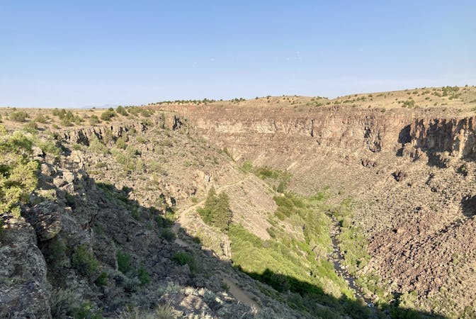
While the trails in Taos's foothills are unabashedly grueling, to the southwest of the city lies a delightful beginner-friendly trail network that bobs and weaves along hills filled with sagebrush. Known as either the Overlook Trails or the Rift Valley Loop, depending on which map you reference, this small gem of singletrack offers stunning views coupled with mellow trails—a winning combination.
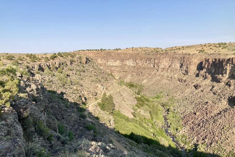
The trailhead noted here is located almost directly on the rim of the stunning Rio Grande Gorge, and the first section of trail—the stem of the lollipop loop—traverses along the rim, providing stunning views down into the gorge. I know you just got started running, but be sure to pull out your phone and snap a few photos—the views are surreal!
After a little more than a mile of running following the overlook trail, you'll reach the junction with the Rift Valley Trail. From here, the navigation is easy, as you'll follow Rift Valley all the way around the loop and return to this same spot, spurning other trails along the way.
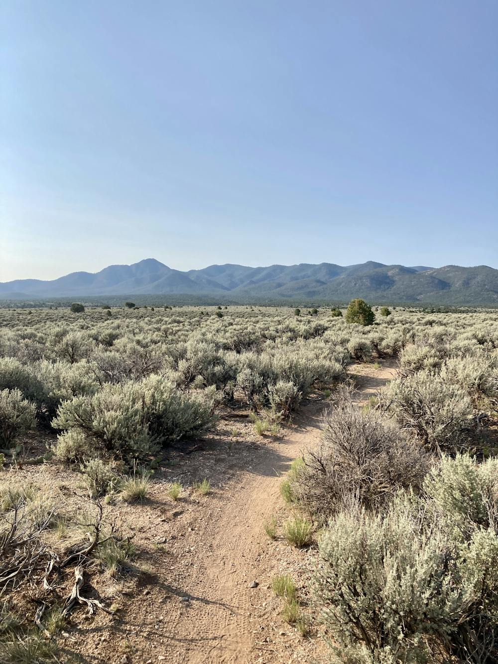
Rift Valley is a swoopy, narrow, singletrack trail that bobs and weaves through the towering sagebrush on this high plateau. Mellow climbs ascend the low hills ("hill" might be overstating it) and then swoop back down, repeating over and over again as you make your way around the loop and back to the trailhead.
For a shorter alternative for beginners who might not be up to the whole shebang, take the Escarpment Trail to cut off about 5 or 6 miles of the somewhat repetitious singletrack on Rift Valley.
Easy

Some trail sections have exposed ledges or steep ascents/descents where falling could cause serious injury.

Away from help but easily accessed.
7 routes · Hiking · Trail Running