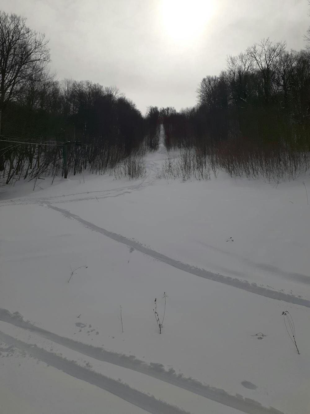
Highount Main Line
Fun overgron Blue run
Freeride Skiing Moderate
- Distance
- 646 m
- Ascent
- 0 m
- Descent
- 232 m
- Low Point
- 704 m
- High Point
- 936 m
- Gradient
- 24˚

This is a popular freeride skiing route which is generally considered to be moderate. It's not remote, it features low exposure (e1) and is typically done between January and March. From a low point of 704 m to the maximum altitude of 936 m, the route covers 646 m, 0 vertical metres of ascent and 232 vertical metres of descent. It's graded 1.3 and Labande grade 2.


- •
- •
- •
- •
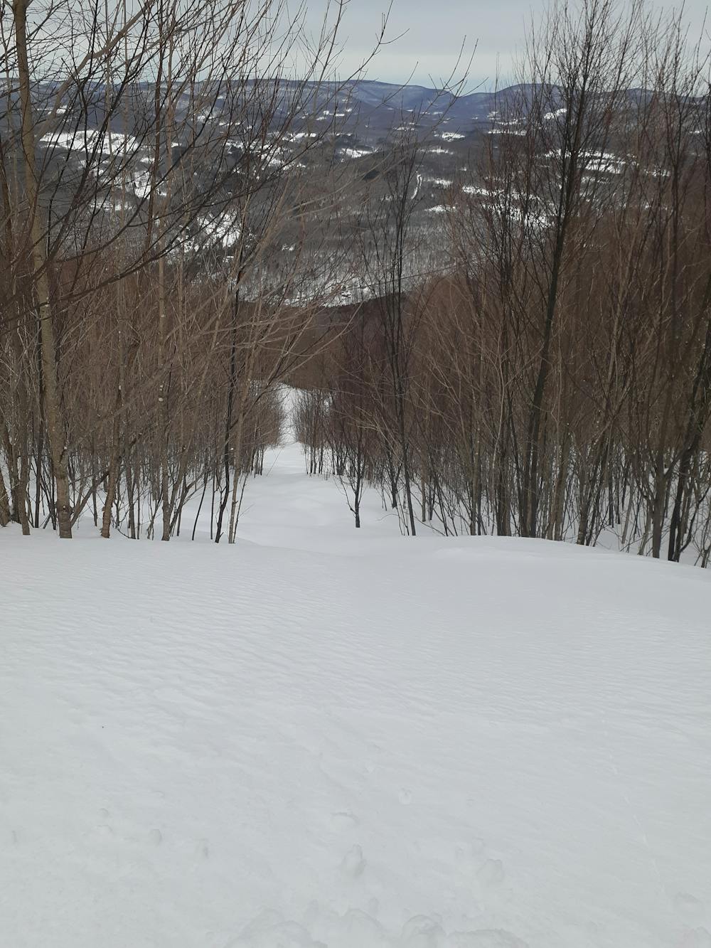
Description
Starts with a narrower chute before going under the old T-bar, and then going right out of the T-Bar line into a fun open area.
Difficulty
Moderate
Slopes become slightly steeper at around 25-30 degrees.
Low Exposure (E1)

Exposure is limited to that of the slope itself. Getting hurt is still likely if the slope is steep and/or the snow is hard.
Remoteness
Close to help in case of emergency.
Best time to visit
Features
- Trees
- Walk Required