4.4 km away
Mountains to Sea Trail: Oconaluftee Visitor Center to Balsam Gap
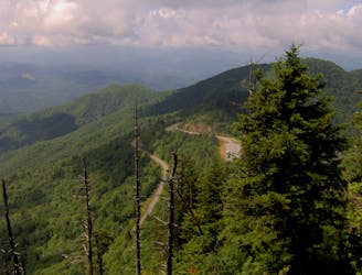
A segment of the MST known for its views near Waterrock Knob.
Difficult Hiking
- Distance
- 45 km
- Ascent
- 1.8 km
- Descent
- 1.4 km
A classic hike from the Smokemont Campground.
Hiking Moderate

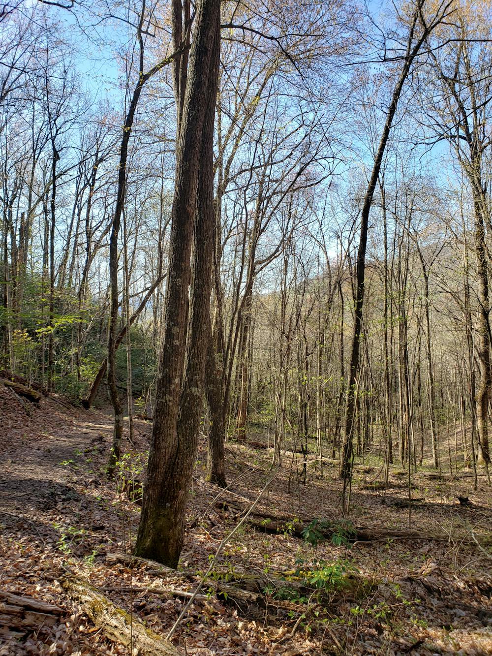
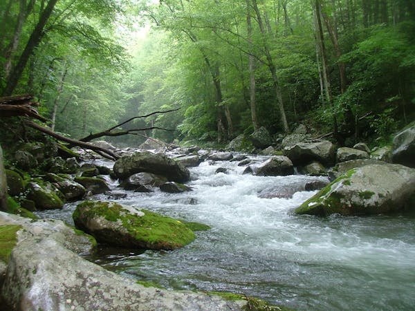
Originating from the Smokemont Campground, this 6.5-mile loop is an excellent introduction to the Great Smoky Mountain National Park. It's perfect for the entire family and follows the picturesque Bradley Fork for part of the journey.
For those not staying at the campground, plenty of parking can be found where Newfound road connects to Smokemont Road. Roadside parking is available on the west side of the river, and a small parking area is available on the east. Most maps denote this as the official trailhead for the hike. The historic Oconaluftee Baptist Church, sometimes referred to as the Smokemont Baptist Church, can also be seen nearby.
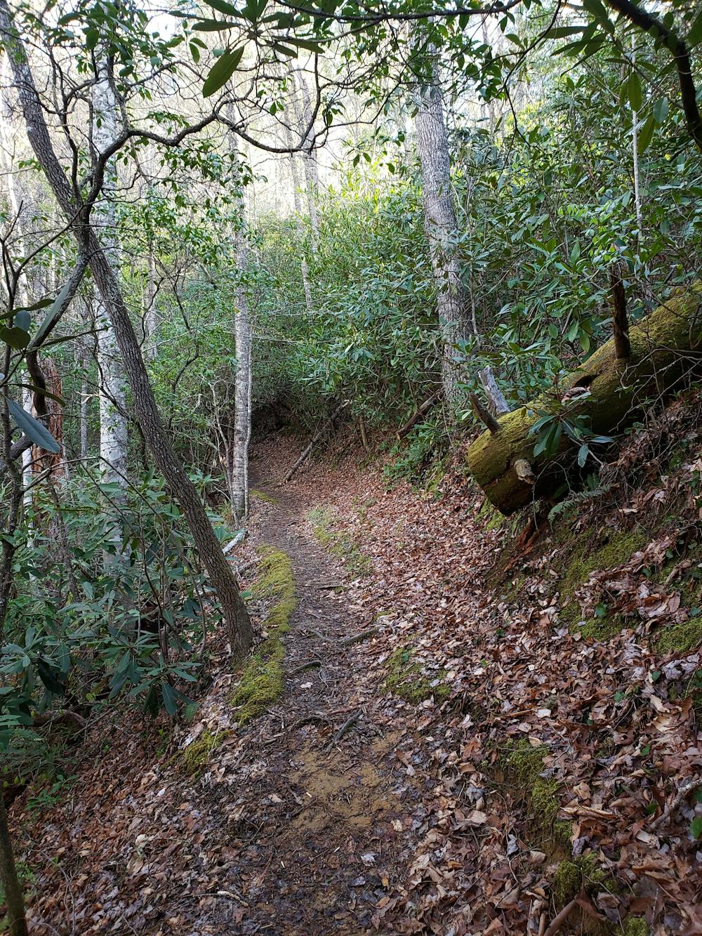
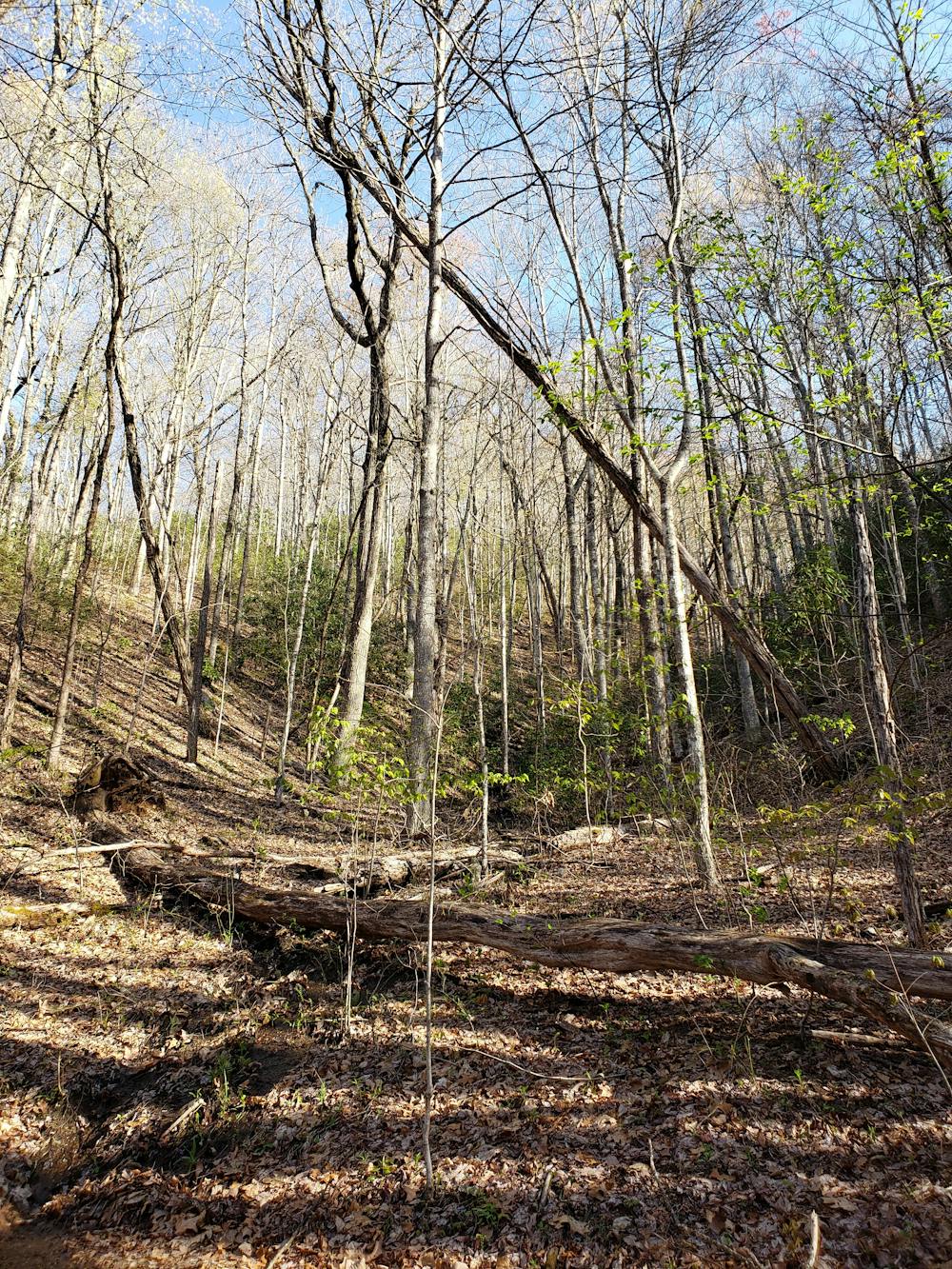
Hiked clockwise, you begin with a brief stretch of double track before beginning a long steady ascent following the contours of a mountain. Enjoy the flowering rhododendron that line the trail, and at times almost seem to form a tunnel over the trail.
While there is no defined viewpoint on the route, some partial views towards the valley can be found near the highest point of the Smokemont Trail. The trail also provides plenty of beauty through the endless flora and fauna that line the path.
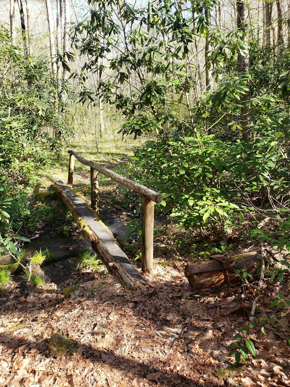
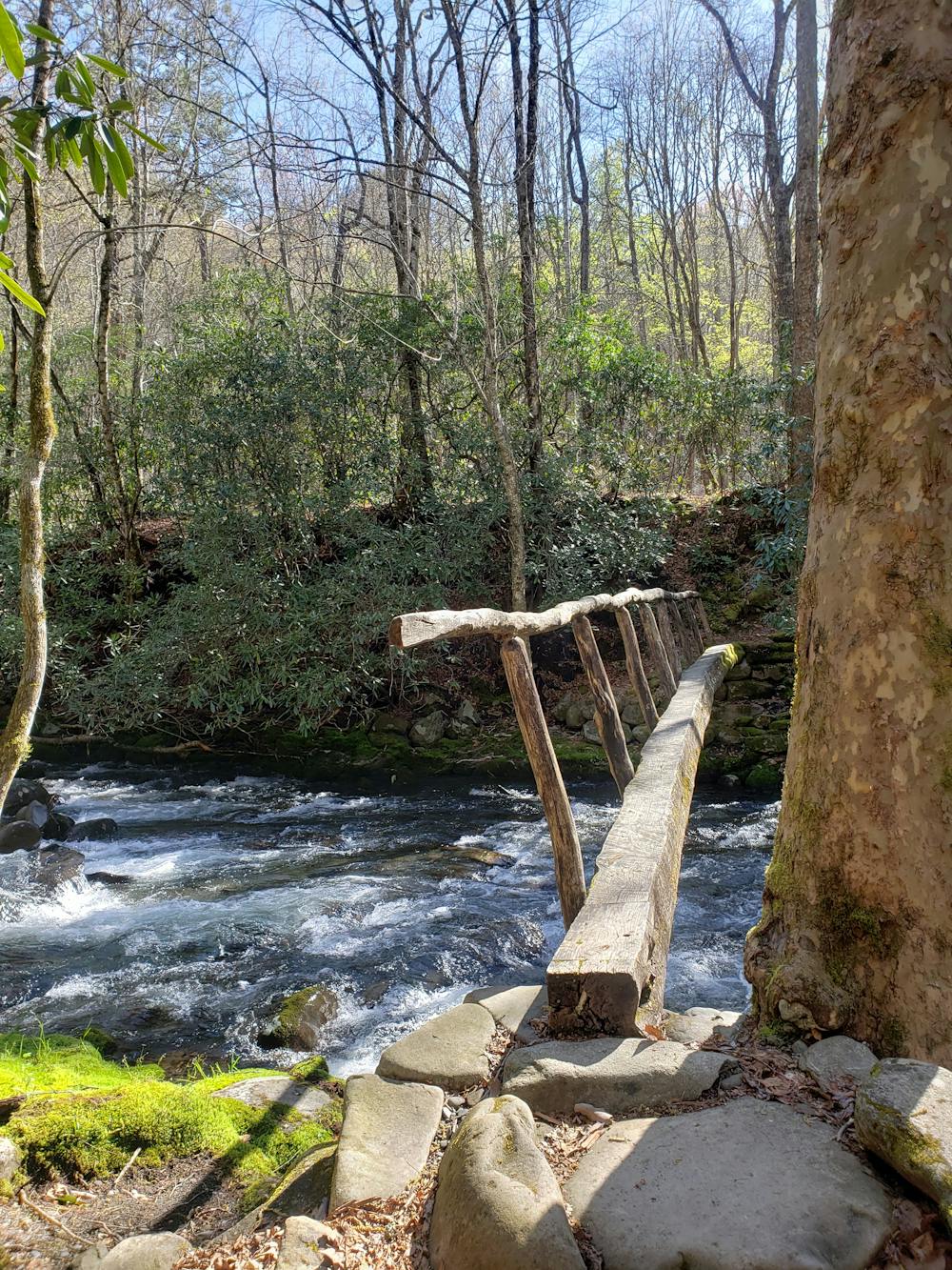
After cresting a high point, the trail descends quickly to a river. Here, you will cross a narrow footbridge and return along the Bradley Fork Trail. This section of the loop is wide and a relaxing walk back to the campground or trailhead.
Moderate
Hiking along trails with some uneven terrain and small hills. Small rocks and roots may be present.

The trail contains some obstacles such as outcroppings and rock which could cause injury.
Away from help but easily accessed.
4.4 km away
A segment of the MST known for its views near Waterrock Knob.
Difficult Hiking
5.8 km away
An epic 2 - 3 night overnight hike showcasing some of the best mountaintop views in the Smokies!
Severe Hiking
10 routes · Hiking

7 routes · Hiking

16 routes · Hiking
4 routes · Hiking