7.4 km away
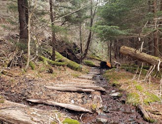
Richland Balsam Summit Loop
A easy hike through a dark forest with a few views along the way.
Easy Hiking
- Distance
- 2.2 km
- Ascent
- 119 m
- Descent
- 119 m
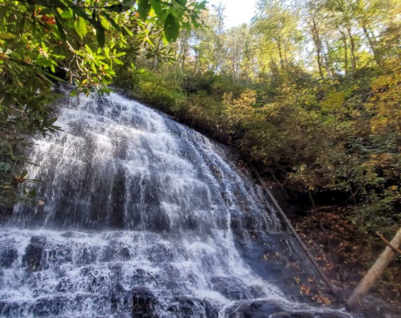
A short hike to a swimming hole fed by two beautiful waterfalls.
Hiking Easy

Sugar Creek Falls is a short waterfall hike in Caney Fork that will leave you wondering how many more waterfalls are nearby that you have never heard of. Well, the answer to that question, is several, according to local guide company White Dot Adventures. Lower Sugar Creek Falls (depicted here) is a stunning 40' cascade into a shallow pool of water, and shouldered by the slightly smaller Dryland Laurel Branch Falls to the right. The result: an easy hike with two waterfalls, less than one mile, and a perfect year-round option for anyone in the family.
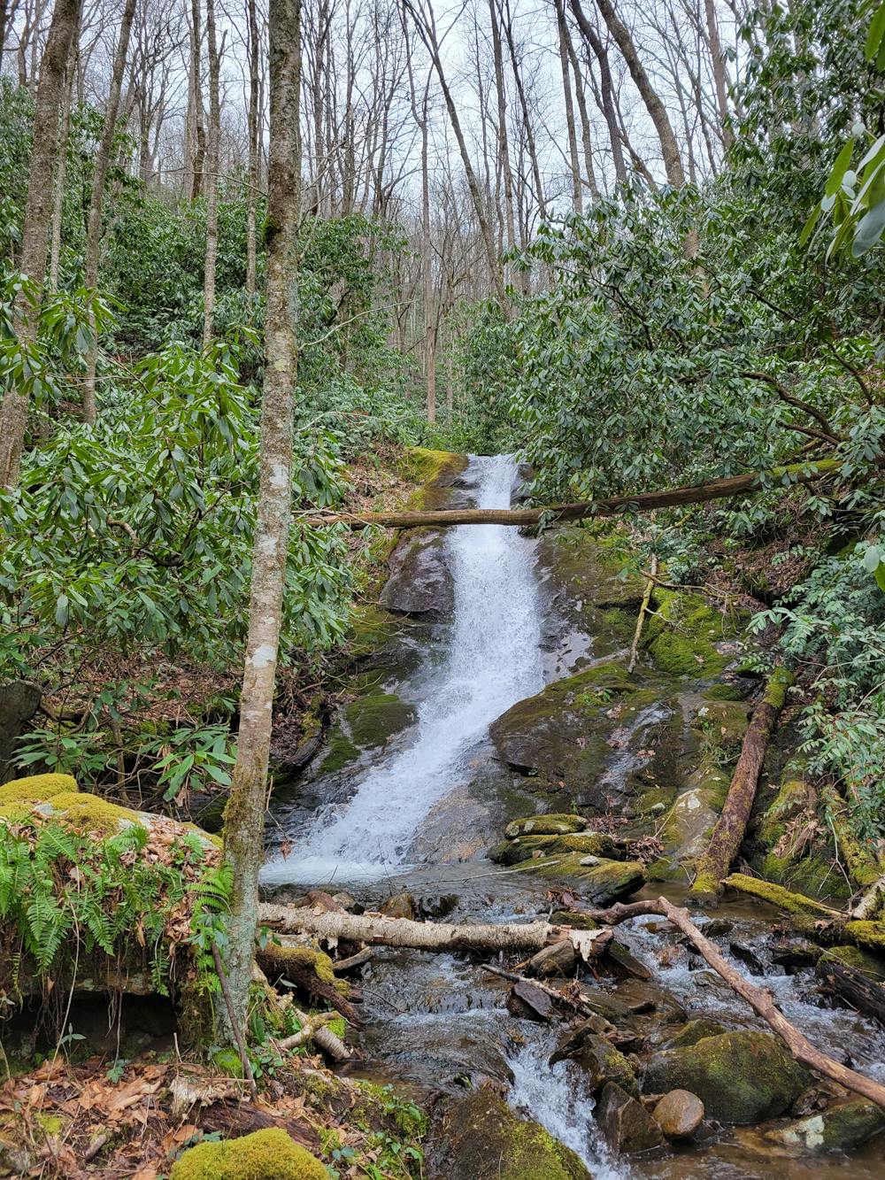
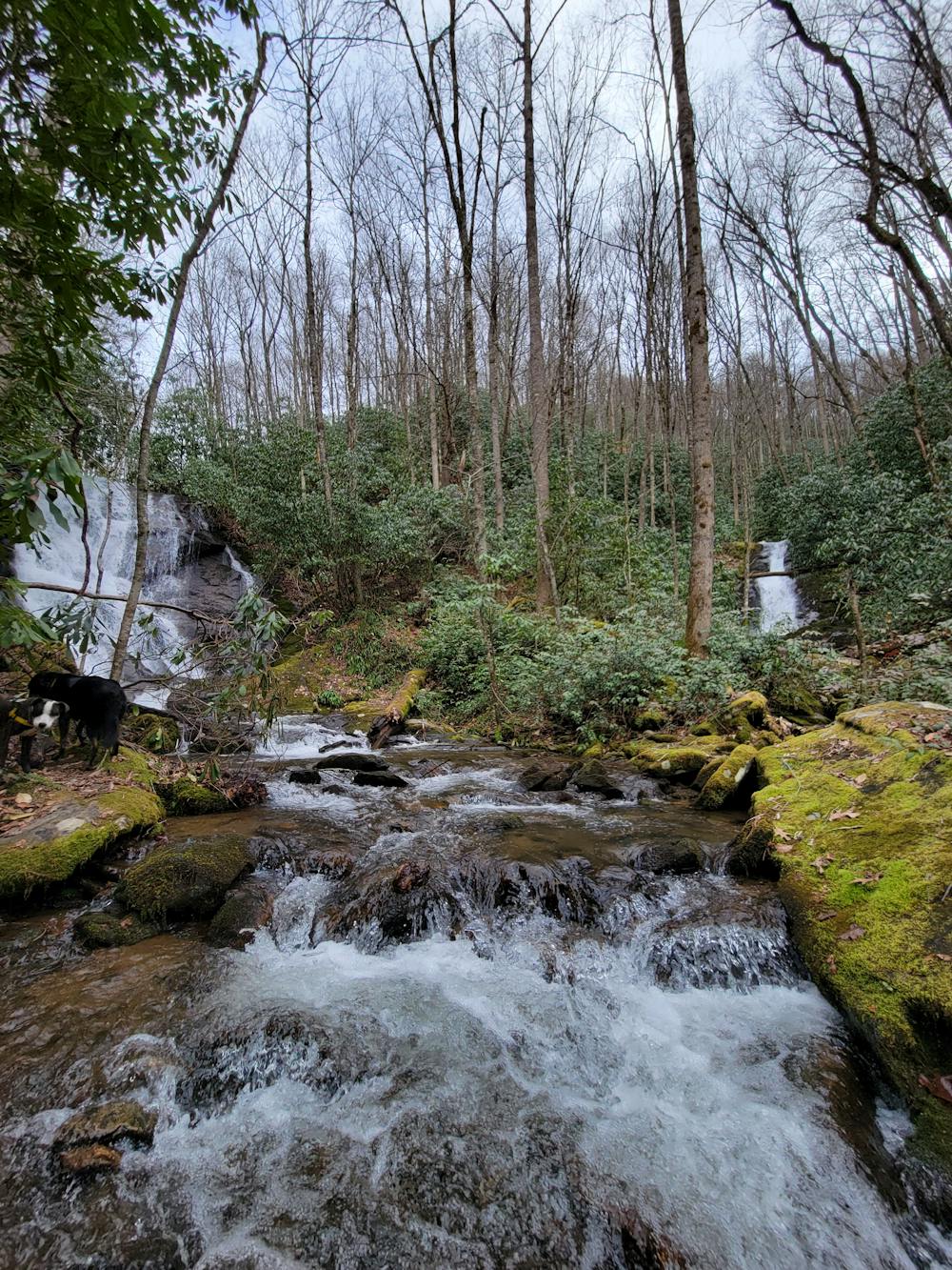
As mapped, the destination for this hike is a small cove beneath the falls. Depending on where you stand, you can often see both falls at once, though Dryland Laurel Branch is sometimes shielded by a thick layer of rhododendron.
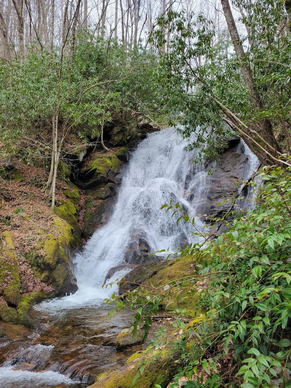
For those looking for an added adventure, a faint trail leads upstream (left) of Sugar Creek Falls bound for a similar waterfall often noted as Upper Sugar Creek Falls. Though the additional 15 minutes to reach the upper waterfall is well worth it, it is much more difficult and will easily double the length of the hike.
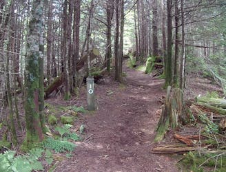
The hike originates on Sugar Creek Road, about 40 minutes from Sylva. As you drive up Caney Fork, keep right on Sugar Creek Road, which is noted for the historic and well-kept church seen at the junction. As you drive up Sugar Creek a few minutes, keep left at the split and drive past the final house and across the old bridge. You'll notice several No Trespassing signs, which are only meant to keep hikers from parking on private property. Once you cross the bridge, you're in the clear and on forest service land again -- though the further up you drive, the rougher the road gets.
Easy
Walking along a well-kept trail that’s mostly flat. No obstacles are present.

The trail contains some obstacles such as outcroppings and rock which could cause injury.
Away from help but easily accessed.
7.4 km away
A easy hike through a dark forest with a few views along the way.
Easy Hiking
8.2 km away
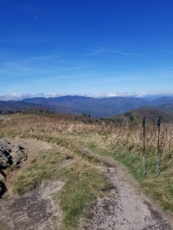
A lightly-traveled loop through an old logging area turned wilderness.
Severe Hiking
9 routes · Hiking

10 routes · Hiking
10 routes · Hiking