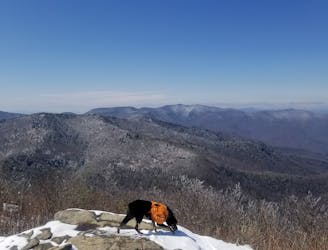
3.4 km away
Cedar Rock Mountain
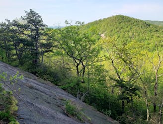
An incredibly challenging trail run requiring the use of fixed ropes to ascend Cedar Rock Mountain.
Extreme Trail Running
- Distance
- 12 km
- Ascent
- 558 m
- Descent
- 558 m
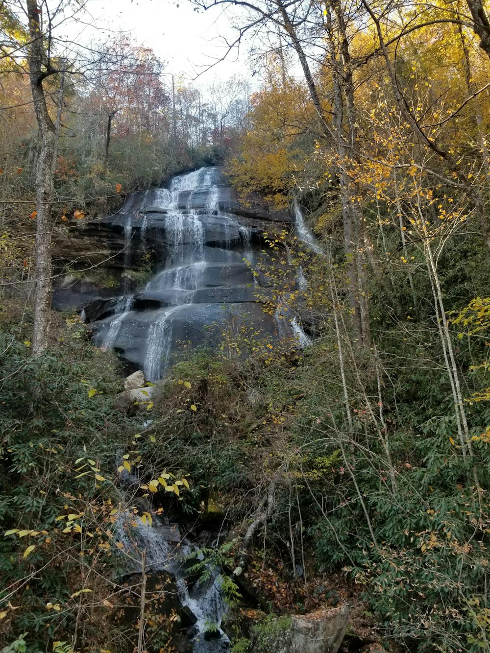
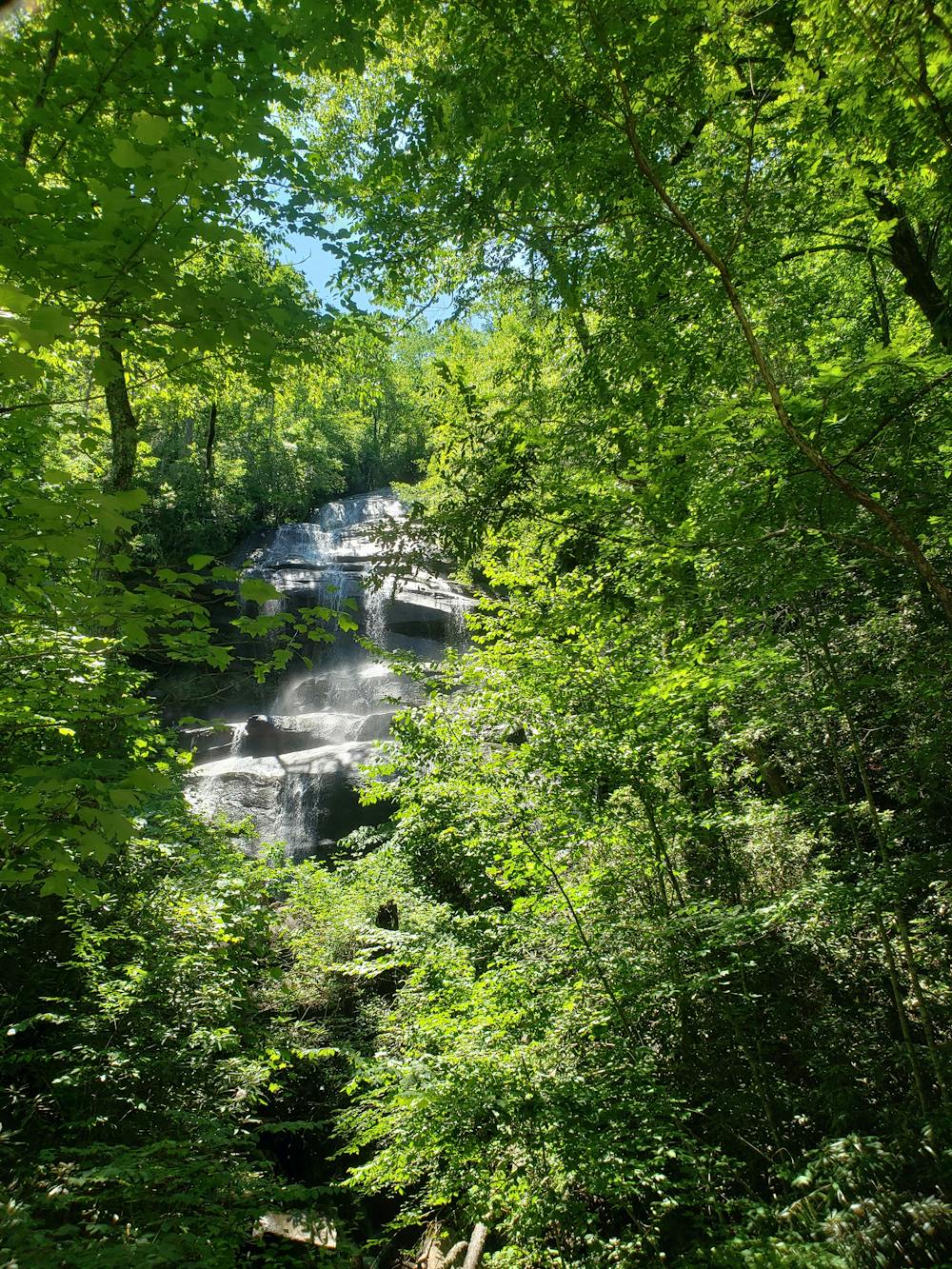
A staple trail running loop with a 150' cascading waterfall.
Trail Running Moderate

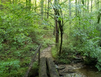
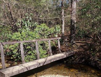
Popular among mountain bikers and hikers, Daniel Ridge is a moderate trail running loop with a 150' cascading waterfall near the trailhead. If you're limited on time, the falls is only a short walk from the trailhead and perfect for the entire family. Look for the sign that denotes the way.
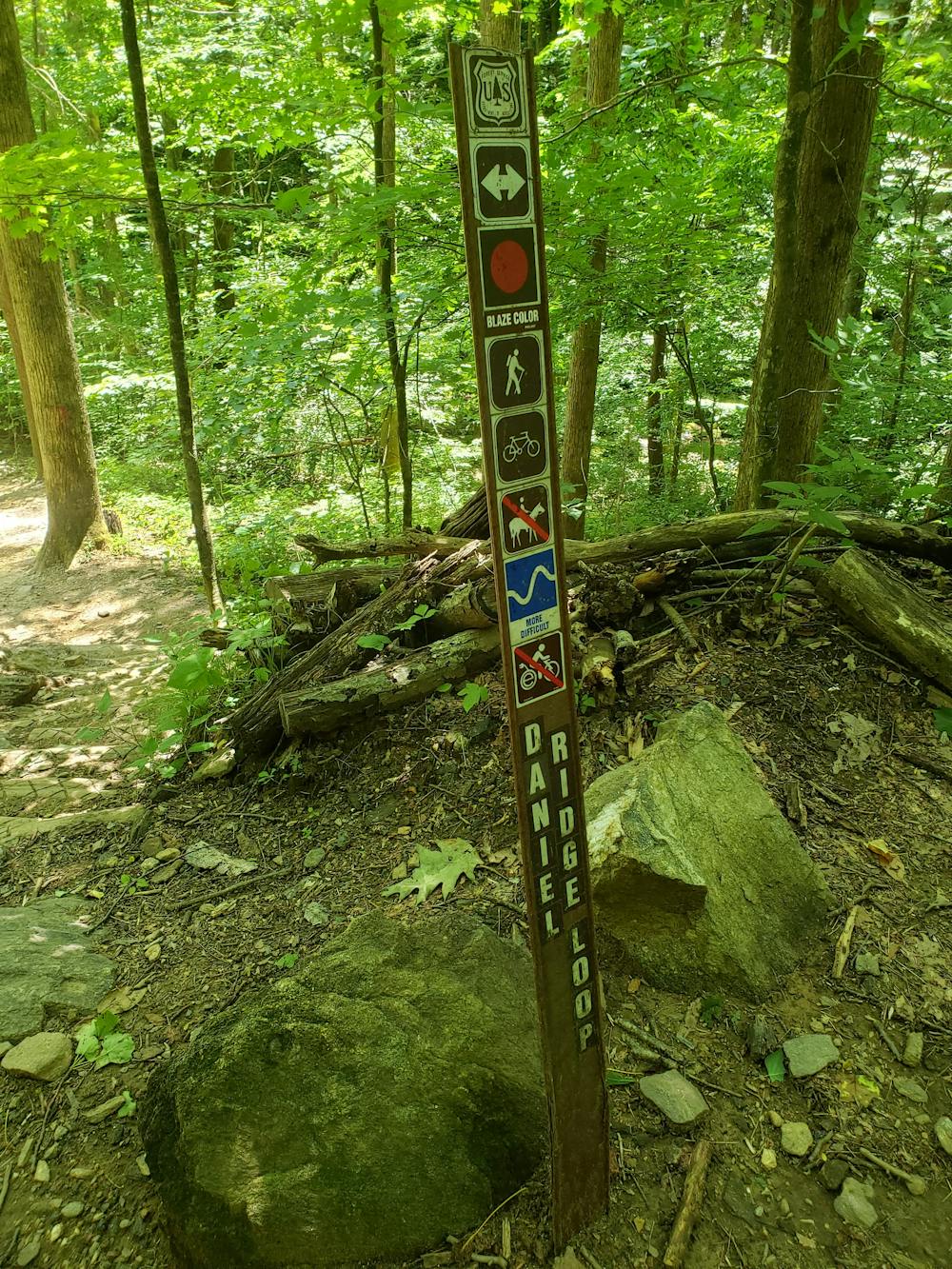
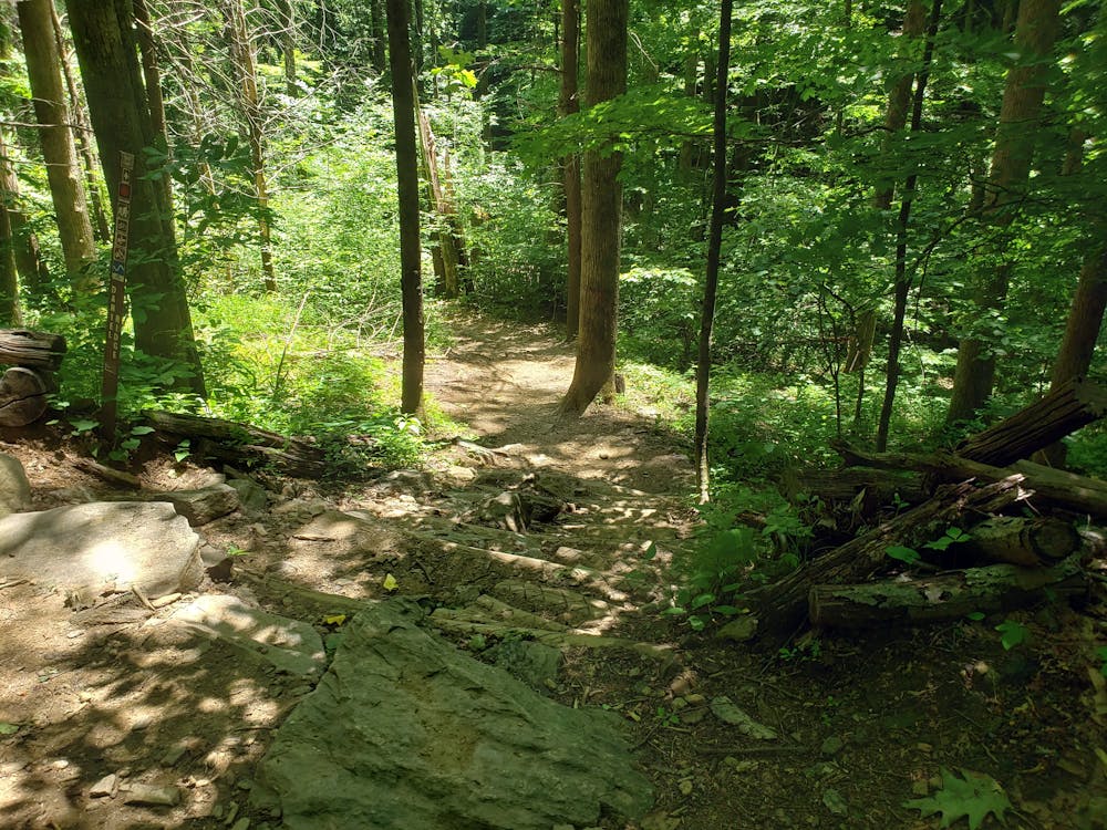
Follow Davidson River Road past the fish hatchery and look for the trail on the right side of the road. This loop can be done in either direction, but most runners prefer clockwise.
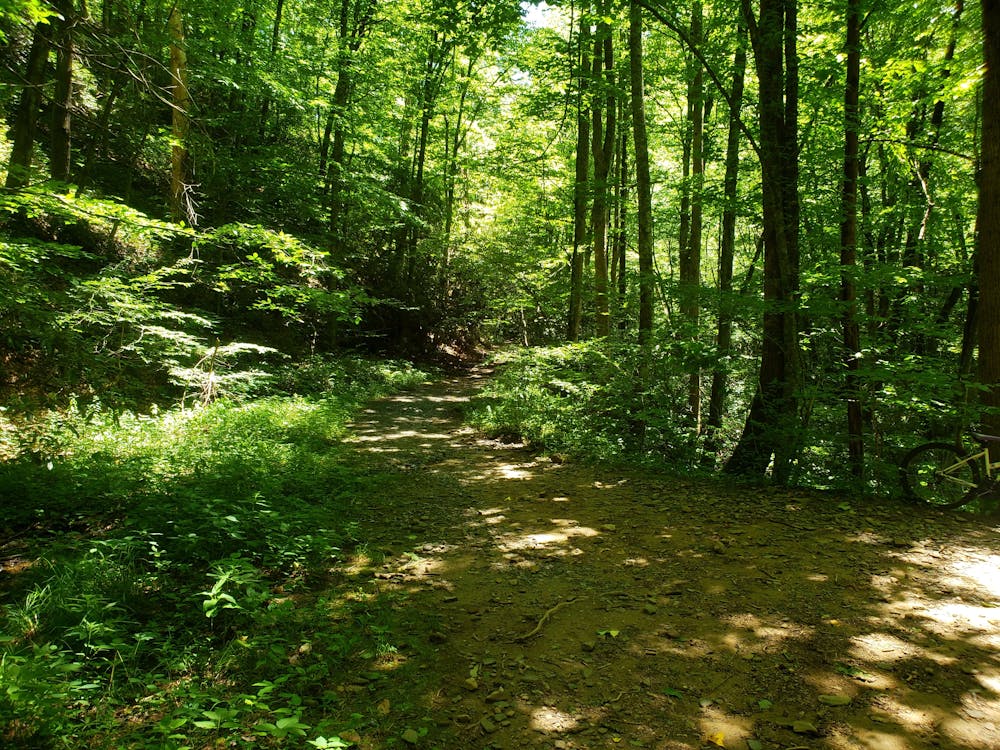
The first half of the loop is extremely popular among downhill mountain bikers. If you have your four-legged friend with you, keep them leashed and stay aware of bikes that may may be heading downhill on the trail.
Ahead, the trail climbs gently, following the river upstream. A couple of small cascades can be seen along the way on your left. When you reach the high point, Farlow Gap Trail lies ahead and begins a punishing ascent up towards the Art Loeb Trail. Stay right to continue on the red-blazed Daniel Ridge Loop.
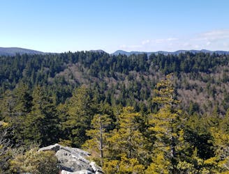
Though there is no defined vista, the return trip offers some seasonal views as it passes through several meadows. Dense rhododendron line the area the wildflowers are spectacular in the summer.
After merging back onto the gravel road, take a left to pay a visit to the waterfall before ending your run. The 150' cascade is often overlooked due to the countless waterfalls that fill the region - but it's well worth the trip.
Moderate

The trail contains some obstacles such as outcroppings and rock which could cause injury.
Away from help but easily accessed.
3.4 km away
An incredibly challenging trail run requiring the use of fixed ropes to ascend Cedar Rock Mountain.
Extreme Trail Running
3.4 km away
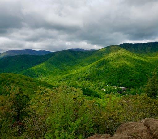
A classic trail run from the fish hatchery with phenomenal views from John Rock.
Moderate Trail Running
4.3 km away
A classic trail run in a high mountain valley with two waterfalls.
Moderate Trail Running
6 km away
A short trail run originating at a picnic area along the Davidson River.
Moderate Trail Running
6.7 km away
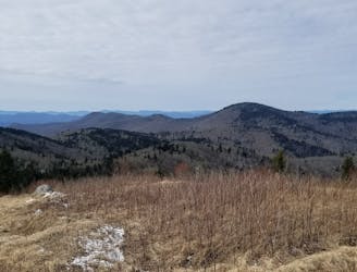
An incredible trail run across bald summits and exposed overlooks.
Difficult Trail Running
7.6 km away
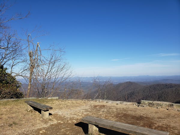
An all seasons route to one of the best views in Western North Carolina.
Severe Trail Running
8.9 km away
A beautiful, relatively flat run through the historic Pink Beds Valley.
Easy Trail Running
9.1 km away
A challenging and incredibly-steep approach to Shining Rock.
Severe Trail Running
9.8 km away

A short, quiet trail running loop near town.
Moderate Trail Running
9.8 km away
A challenging trail run through dense tunnels of rhododendron.
Difficult Trail Running
12 routes · Trail Running
6 routes · Trail Running