Mill Ridge Trail
An easy trail run near Hot Springs, NC, that's loaded with views.
Trail Running Easy
- Distance
- 6.5 km
- Ascent
- 151 m
- Descent
- 151 m
- Duration
- 0-1 hrs
- Low Point
- 672 m
- High Point
- 807 m
- Gradient
- 5˚

In contrast to the extremely rugged and challenging terrain found in the region, this route provides plenty of views on more mellow terrain.
- •
- •
- •
- •
- •
- •
Description
According to Wikipedia, the natural hot spring the town of Hot Springs, NC is named for is the only one of its kind in North Carolina, and in most of the southeastern United States. The Native Americans who originally occupied the area knew the spring to have natural healing properties, a belief that draws in countless tourists every year. Today, the town serves as a popular destination for tourists, adventurers, and a landmark for Appalachian Trail thru-hikers.
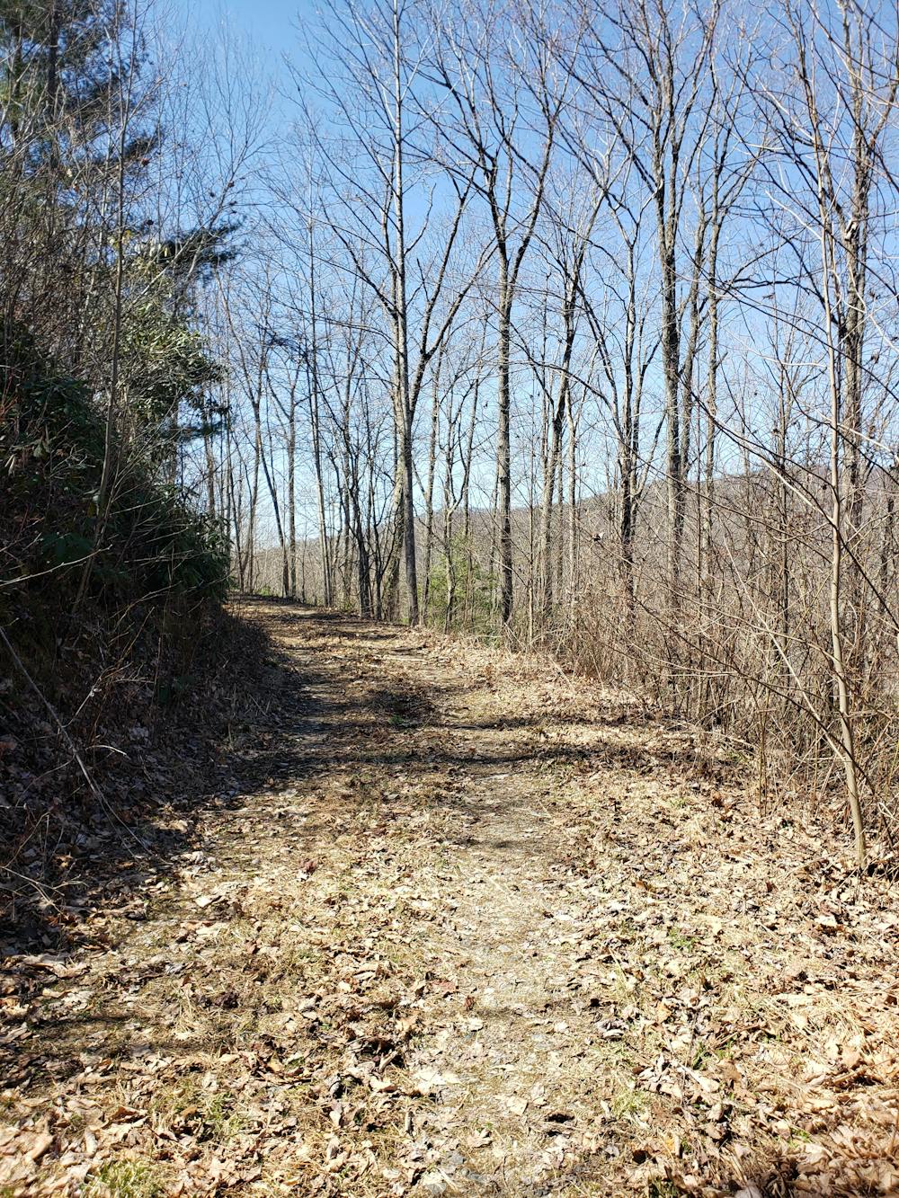
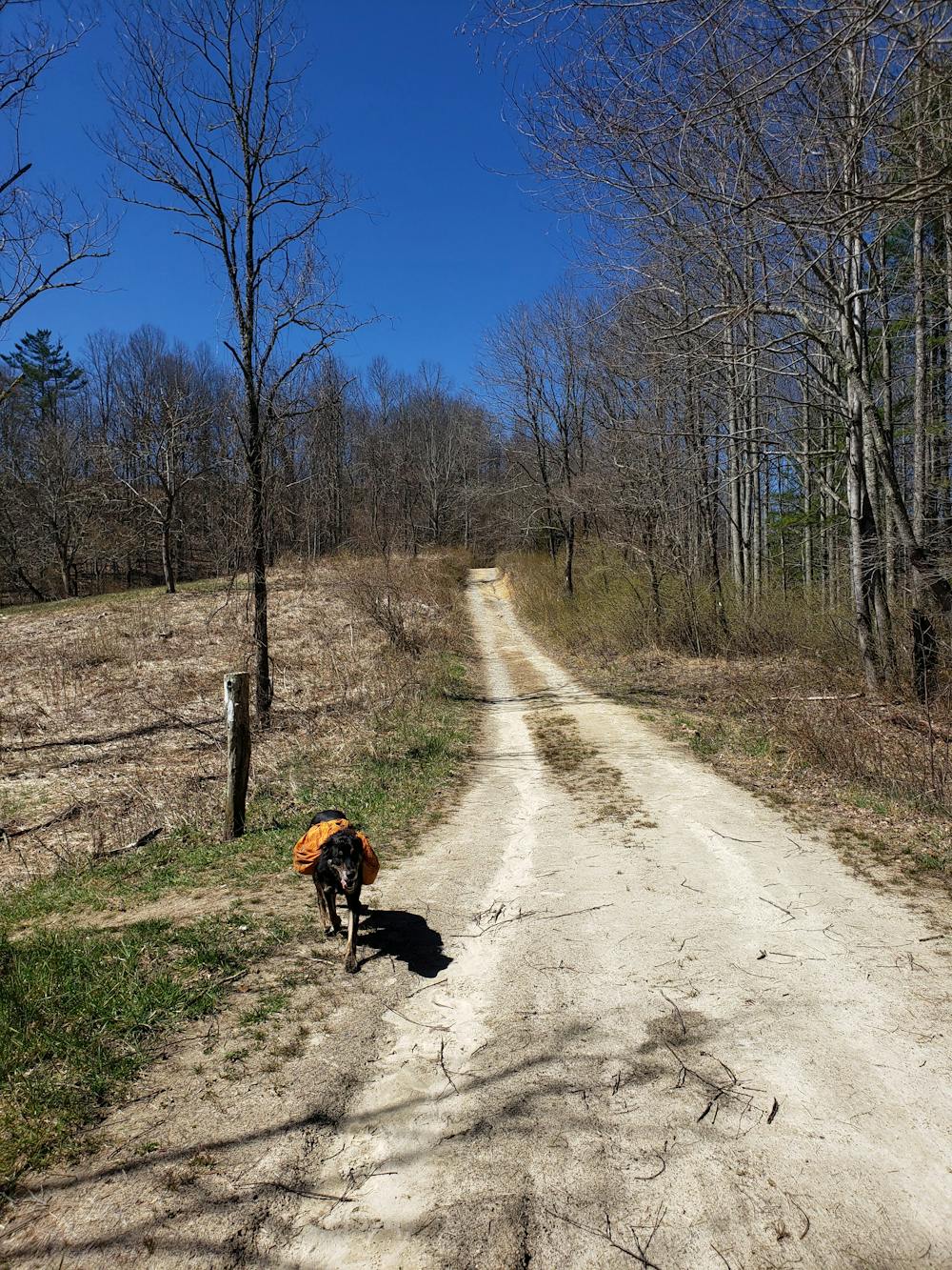
Begin this 4-mile run at the Mill Ridge Trailhead, located on the seasonal Mill Ridge Road about 10 minutes east of Hot Springs. There is no water or restroom at the trailhead, so plan accordingly. Should the gate be closed, additional parking is available at Tanyard Gap when you turn off of US-25/70. This option adds about a mile each way to your run.
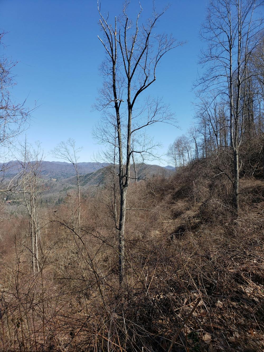
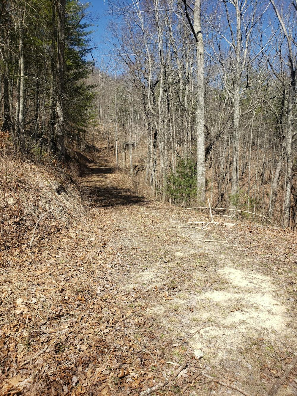
The route is best completed clockwise, as the trail gradually descends for the first three miles. To the north, you can snag some views of nearby Rich Mountain. As you near the furthest point on the ridge, you'll be welcomed with even more views towards Laurel River Gorge to the east.
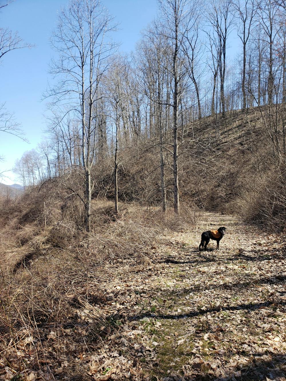
The final mile of the loop climbs gradually, passing over a few streams on its way. Following a storm, you may get your feet wet. As the trail reaches Mill Ridge Road, turn right and briefly follow the same path as the 2,200-mile Appalachian Trail to the trailhead.
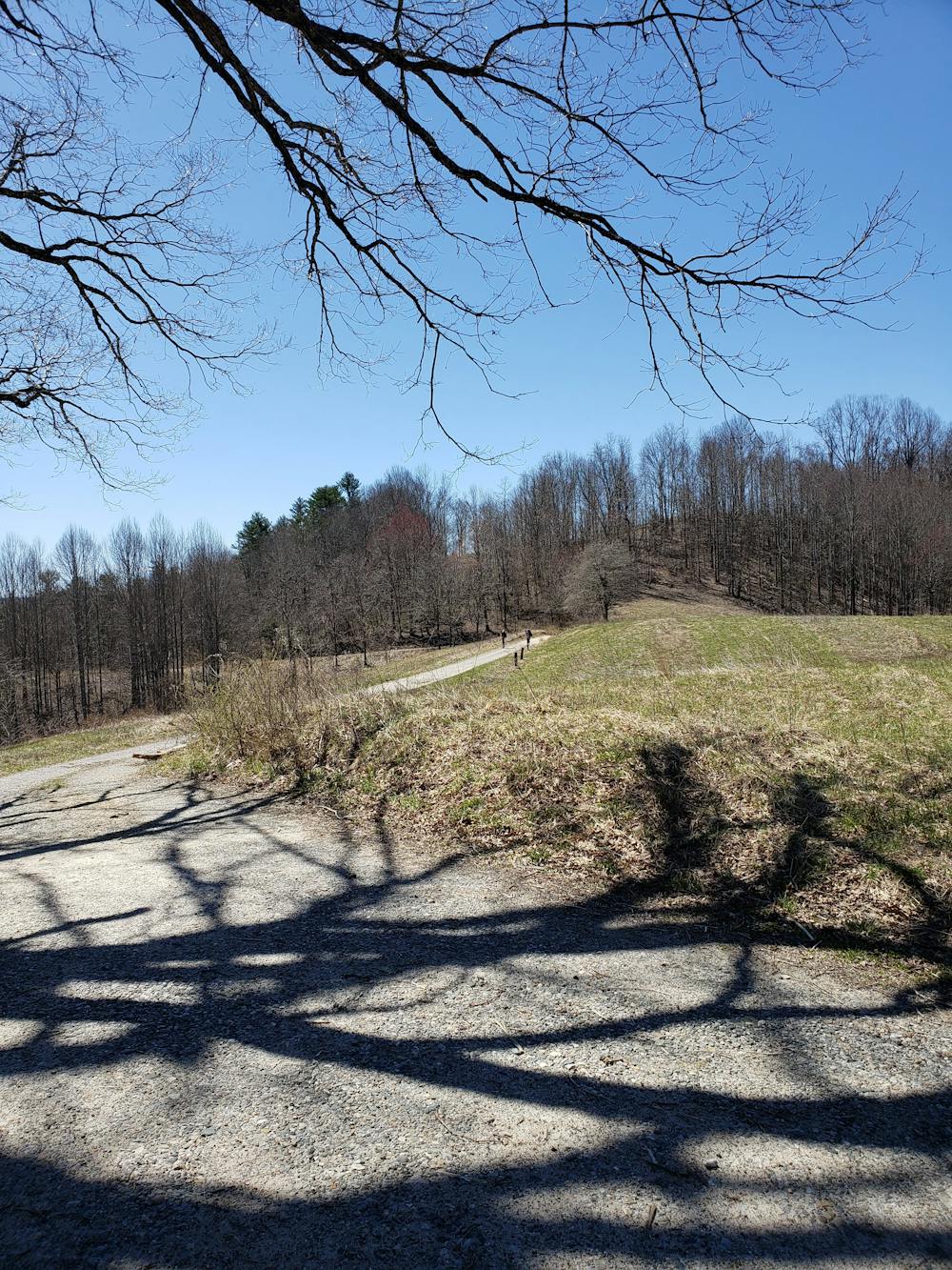
For some extra views, take a left on Mill Ridge Road to an open meadow a few hundred yards up. The foundation for a former fire tower provides some excellent views to the south and west.
Sources: https://en.wikipedia.org/wiki/HotSprings,NorthCarolina
Difficulty
Easy
Low Exposure

The path is on completely flat land and potential injury is limited to falling over.
Remoteness

Away from help but easily accessed.