9 km away
Shut-In Trail
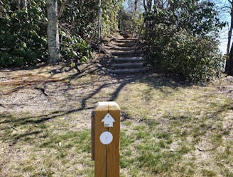
A historic and iconic portion of the MST well-known in the trail running world.
Difficult Trail Running
- Distance
- 26 km
- Ascent
- 1.7 km
- Descent
- 824 m
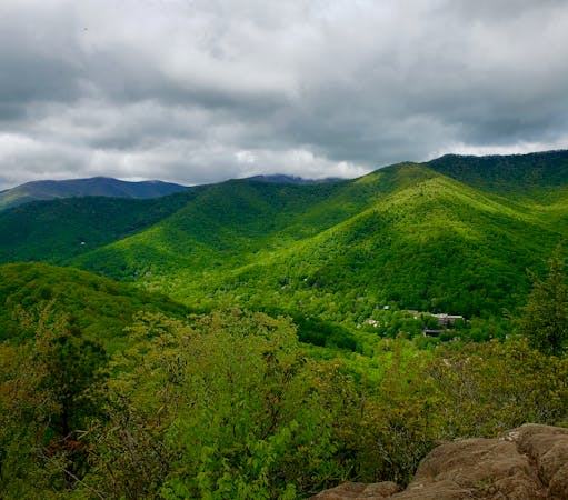
A mostly-paved loop around West Asheville, with a little bit of gravel mixed in.
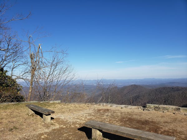
Trail Running Moderate

This is a popular trail running route which is generally considered to be moderate. It's an unknown remoteness, it features unknown exposure and is typically done in an unknown time of year. From a low point of 601 m to the maximum altitude of 672 m, the route covers 14 km, 160 vertical metres of ascent and 160 vertical metres of descent.
This is a ~9-mile circuit through West Asheville that mixes sidewalks, neighborhood roads, greenway, and a little trail for a nice tour of the area. It begins and ends at UpCountry Brewing and includes Carrier Park, one of the most popular spots to run in town.
Moderate
9 km away
A historic and iconic portion of the MST well-known in the trail running world.
Difficult Trail Running
12 routes · Trail Running
6 routes · Trail Running

17 routes · Hiking · Trail Running