2.2 km away
Buckeye / Towpath Loop
A half-trail, half-greenway run starting at the Boston Trailhead and Visitor Center.
Moderate Trail Running
- Distance
- 12 km
- Ascent
- 268 m
- Descent
- 268 m
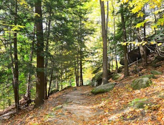
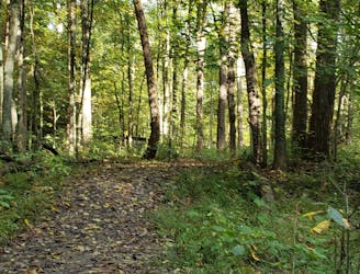
The must-do hike or short trail run within Cuyahoga Valley National Park.
Trail Running Easy

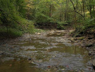
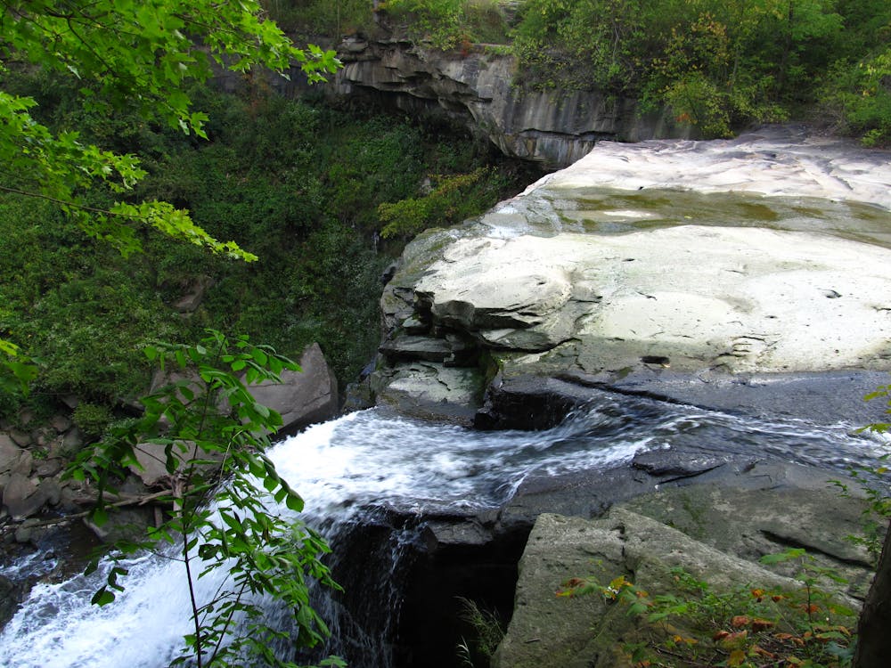
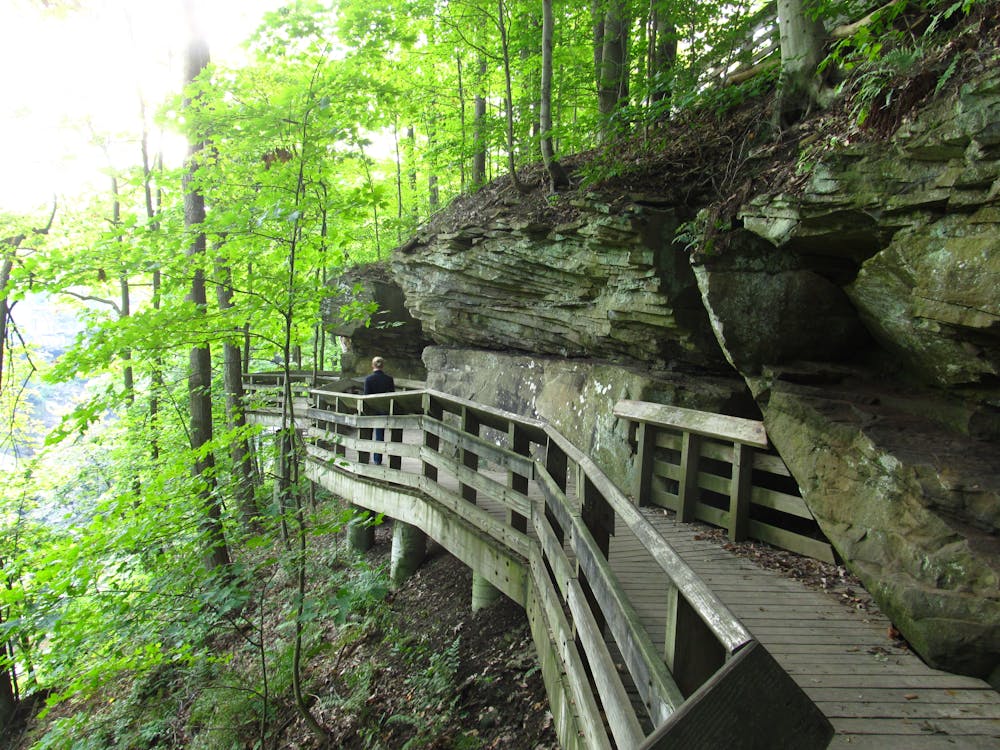
Though more often chosen as a hike than a trail run, this short loop visits the centerpiece waterfall of Cuyahoga Valley National Park - Brandywine Falls. Accessed by a mix of boardwalk and stairs, this 65' waterfall can be viewed via a short out-and-back hike to the boardwalk, or on this mapped 1.3-mile trail run along the Brandywine George Trail.
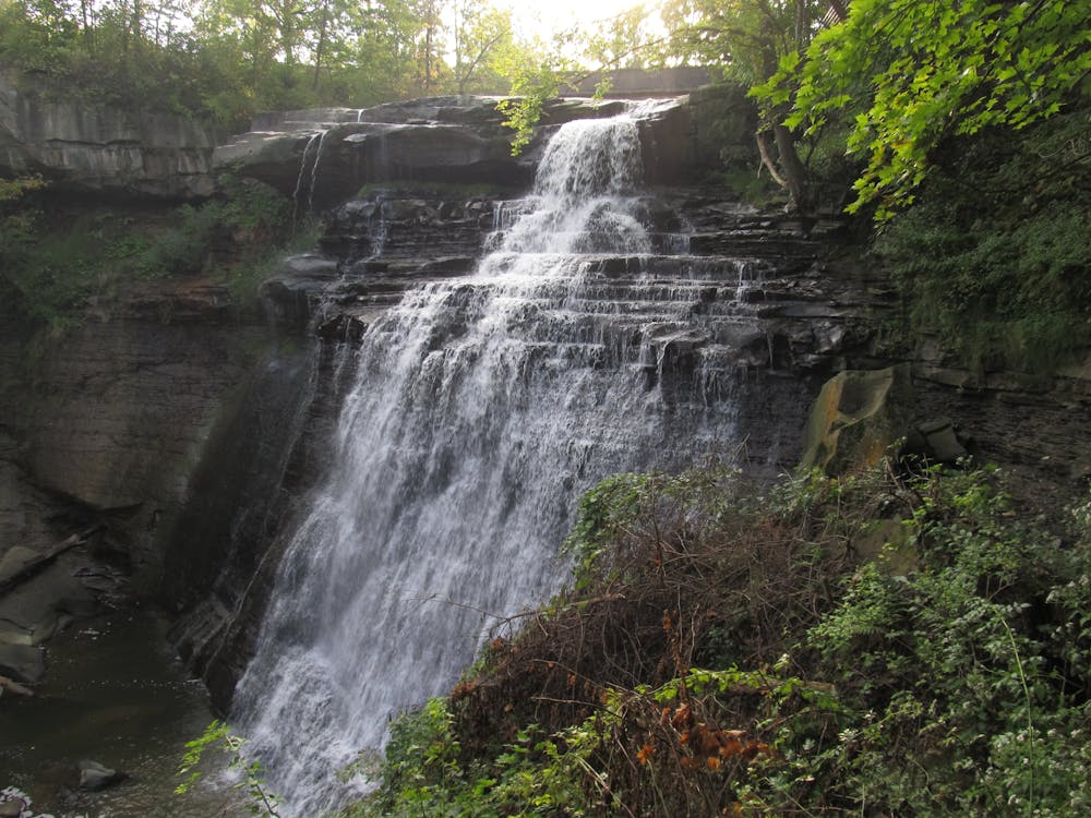
According to the NPS, the trailhead can be quite busy during peak season. Summer is one of the best times to visit, and "the parking lot is generally full between 10 a.m. and 2 p.m." Ice also attracts an array of visitors during the winter, and post-storm runoff can make the falls even more stunning.
This article by the NPS notes that "a layer of hard rock caps the waterfall, protecting softer layers of rock below. In this case, the top layer is Berea Sandstone. The softer layers include Bedford and Cleveland shales, soft rocks formed from mud found on the sea floor that covered this area 350-400 million years ago. Shale is thinly chunked, giving water a bridal veil appearance as it cascades down the falls." Among others, eastern hemlock, red maple, and an array of moss also blanket the landscape thanks to the moistness and sandstone terrain.
In the early 1800s, settlers recognized the waterfalls' potential for power generation. The site has since hosted saw, grist, and wooden mills over the years. The waterfall was also formerly the centerpiece of the Village of Brandywine, however, "much of the village is now mostly gone, lost to the construction of nearby Interstate 271."
Source: https://www.nps.gov/cuva/learn/historyculture/brandywine-falls.htm
Easy

The trail contains some obstacles such as outcroppings and rock which could cause injury.

Close to help in case of emergency.
2.2 km away
A half-trail, half-greenway run starting at the Boston Trailhead and Visitor Center.
Moderate Trail Running
2.2 km away

A scenic ~6.5-mile run through the heart of Cuyahoga Valley National Park.
Moderate Trail Running
6.3 km away
The Cuyahoga segment of the the 1,444-mile Buckeye Trail.
Moderate Trail Running
6.5 km away
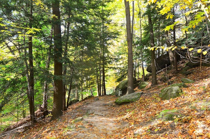
A short trail run along massive sandstone cliffs that will leave you with memories to last a lifetime.
Moderate Trail Running
7 km away

An easy go-to run or hike in the center of Cuyahoga Valley National Park.
Easy Trail Running
7.2 km away
A quiet trail system popular among hikers, trail runners, and equestrian users.
Moderate Trail Running
8.7 km away
A scenic—yet challenging—tour through a lesser-visited corner of Cuyahoga Valley National Park.
Moderate Trail Running
8 routes · Trail Running