1 m away
Buckeye / Towpath Loop
A half-trail, half-greenway run starting at the Boston Trailhead and Visitor Center.
Moderate Trail Running
- Distance
- 12 km
- Ascent
- 268 m
- Descent
- 268 m
A scenic ~6.5-mile run through the heart of Cuyahoga Valley National Park.
Trail Running Moderate

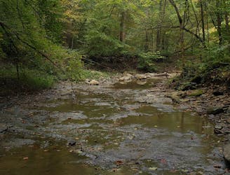
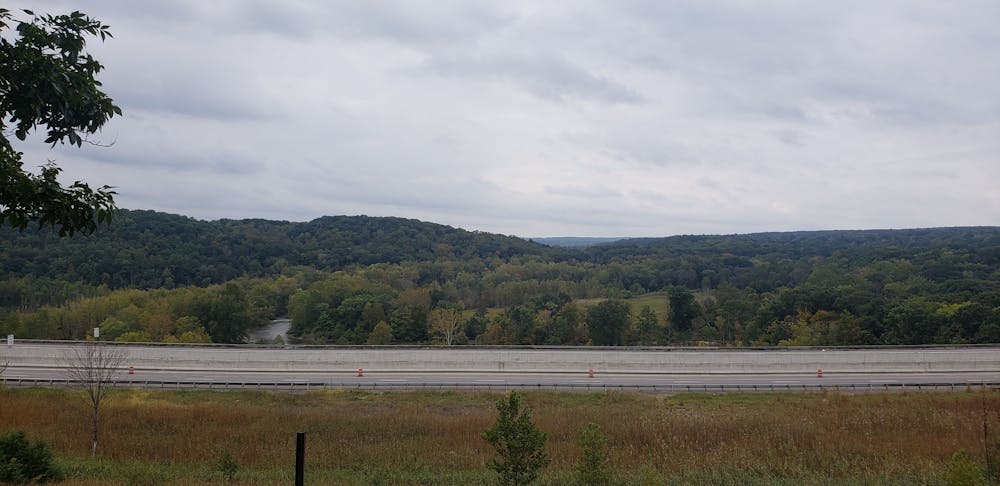
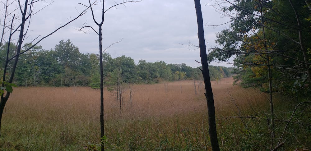
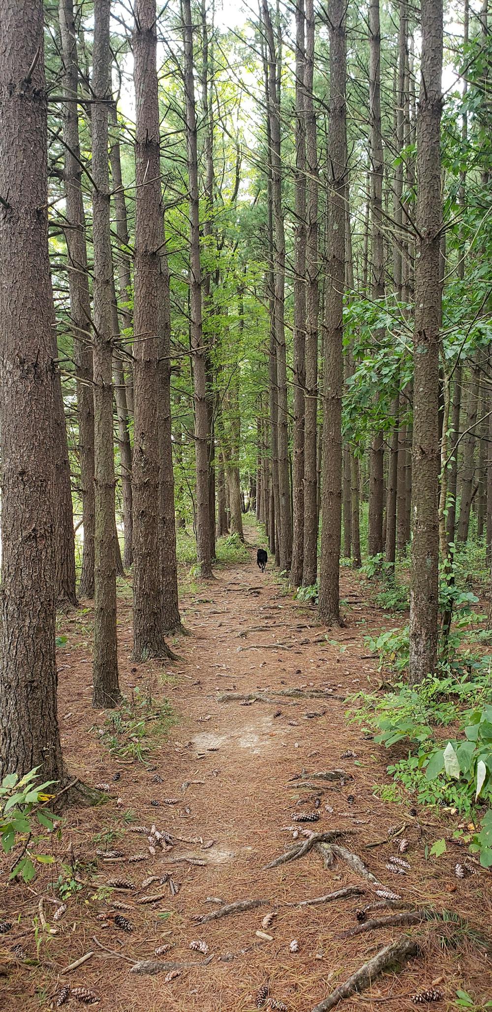
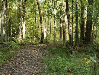
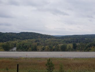
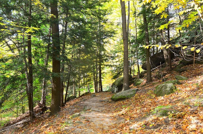
This loop is one of the best trail runs beginning at the Boston Trailhead and adjacent Visitor Center. The other is the Buckeye/Towpath Loop, which is slightly longer but similar in difficulty. Never too challenging, the route pairs the Buckeye and Valley Bridle Trails for a ~6.5 loop through beautiful forests, open meadows, and offers plenty of views along the way. Afterward, head over to either of the Trail Mix locations for a snack or to pick up some souvenirs if you're visiting from out of town.
According to Wikipedia, The Buckeye Trail is a 1,400+ mile "long-distance trail that loops around the state of Ohio. Part of it is on roads, and part is on wooded trail." It's described as an "outdoor as well as a history experience," passing through countless small towns and other popular sites, including state parks, national forests, and of course—Cuyahoga Valley National Park. Visit this link to view the section of trail as it passes through the region.
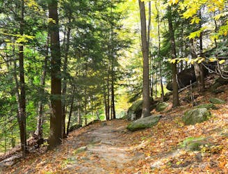
While the route may appear straightforward at first glance, several trail intersections can make it difficult to navigate if you're heading out for the first time. Refer closely to FATMAP on your smartphone or your GPS device at each intersection if you're unsure which way to go.
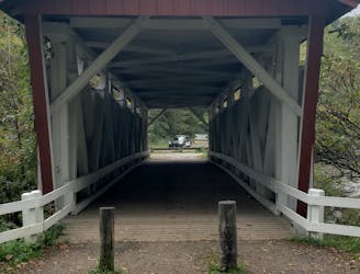
As mapped, begin at the Boston Trailhead near the National Park Visitor Center. You could also start at the Pine Lane Trailhead, a smaller and quieter lot just east of Peninsula at the southernmost point on the loop.
Moderate

The trail contains some obstacles such as outcroppings and rock which could cause injury.

Close to help in case of emergency.
1 m away
A half-trail, half-greenway run starting at the Boston Trailhead and Visitor Center.
Moderate Trail Running
2.2 km away
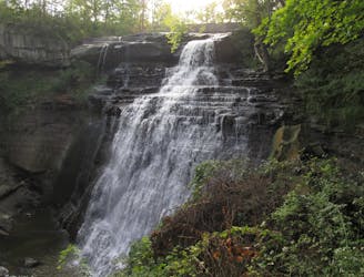
The must-do hike or short trail run within Cuyahoga Valley National Park.
Easy Trail Running
5 km away

An easy go-to run or hike in the center of Cuyahoga Valley National Park.
Easy Trail Running
5.7 km away
A quiet trail system popular among hikers, trail runners, and equestrian users.
Moderate Trail Running
6 km away
A short trail run along massive sandstone cliffs that will leave you with memories to last a lifetime.
Moderate Trail Running
6.2 km away
The Cuyahoga segment of the the 1,444-mile Buckeye Trail.
Moderate Trail Running
6.8 km away
A scenic—yet challenging—tour through a lesser-visited corner of Cuyahoga Valley National Park.
Moderate Trail Running
8 routes · Trail Running