2.7 km away
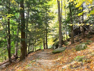
Plateau Trail

An easy go-to run or hike in the center of Cuyahoga Valley National Park.
Easy Trail Running
- Distance
- 7.3 km
- Ascent
- 108 m
- Descent
- 108 m
A quiet trail system popular among hikers, trail runners, and equestrian users.
Trail Running Moderate

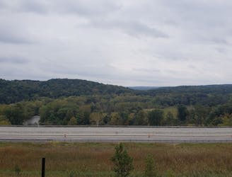
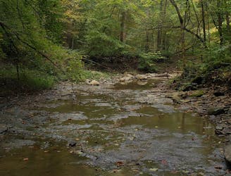
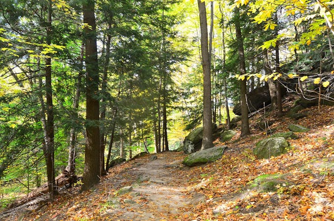
This trail run explores one of the more isolated and untraveled corners of Cuyahoga Valley National Park. The CVNP Conservacy highlights the area for its versatility with "hikers, snowshoe enthusiasts, and equestrians" all making use of the trails during their respective times of the year. Most of the trails are "irregular, somewhat 'mixed-media'” with gravel, clay, dirt, hills, and slopes, and sometimes narrow in spots," they continue. Bested put, it's an area that "has a tendency to never be the same twice."
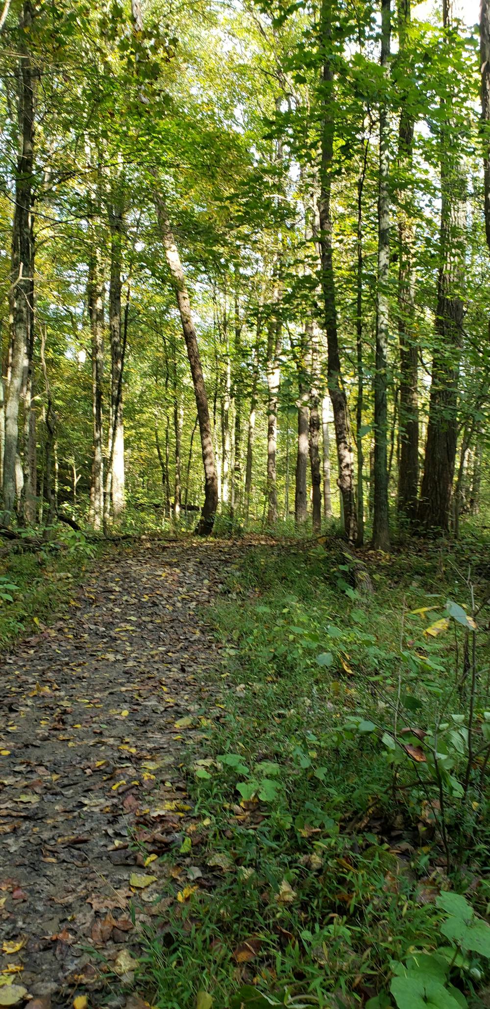
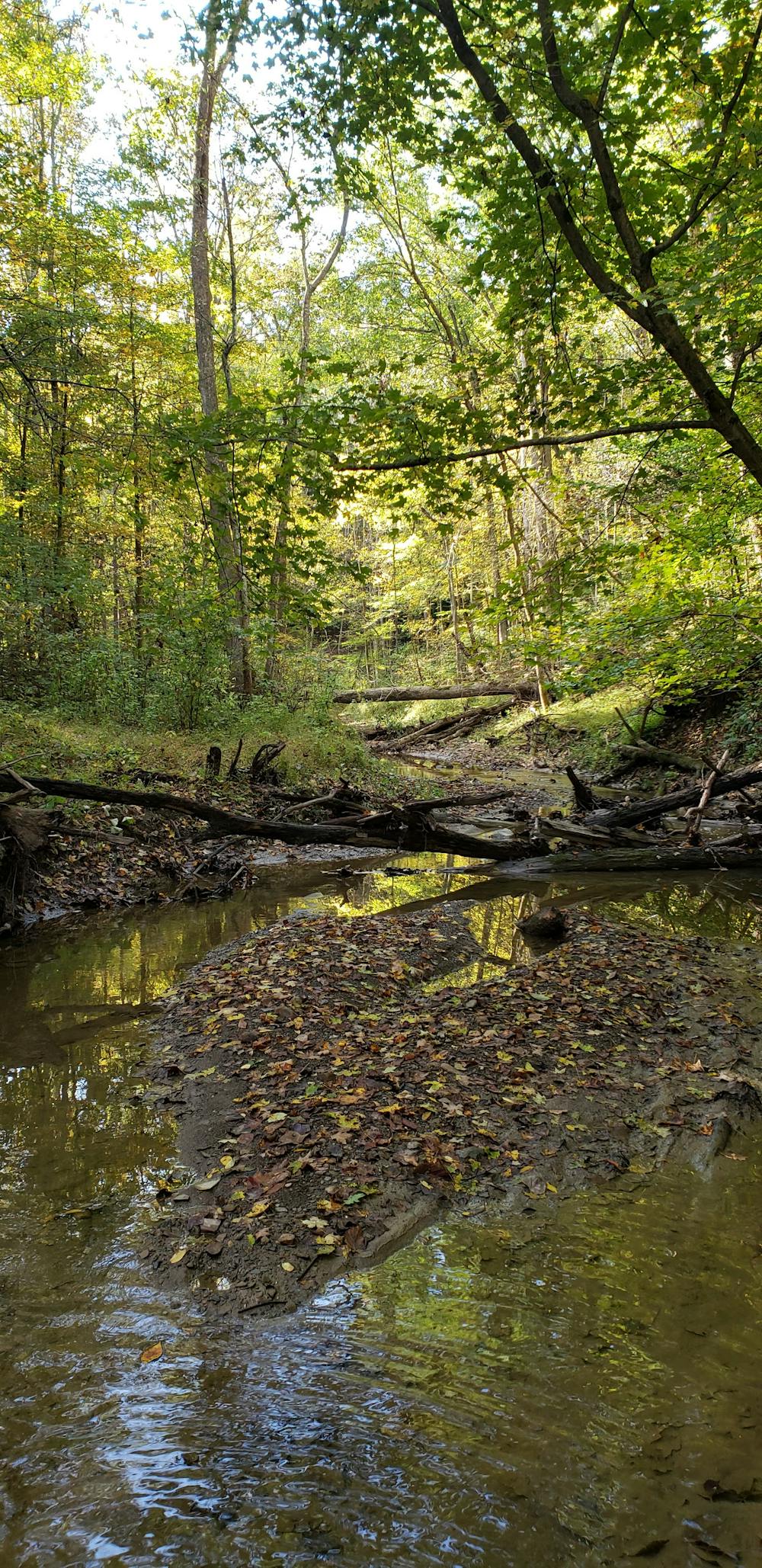
This run begins at the Wetmore Trailhead, halfway between Peninsula and Everett. Since this area is also utilized by equestrian users, the parking lot is also suitable for large vehicles and trailers. In contrast to other trailheads within the park, this one is never too busy, so finding a spot shouldn't be a problem.
From the trailhead, you could complete the loop in either direction. Instead of one main climb or descent, this loop rolls gradually through drainages and offers several short, punchy climbs instead.
Sources: https://www.conservancyforcvnp.org/trails/wetmore-tabletop-trails/
Moderate

The trail contains some obstacles such as outcroppings and rock which could cause injury.
Away from help but easily accessed.
2.7 km away
An easy go-to run or hike in the center of Cuyahoga Valley National Park.
Easy Trail Running
3.1 km away
A scenic—yet challenging—tour through a lesser-visited corner of Cuyahoga Valley National Park.
Moderate Trail Running
3.2 km away
A short trail run along massive sandstone cliffs that will leave you with memories to last a lifetime.
Moderate Trail Running
5.7 km away
A scenic ~6.5-mile run through the heart of Cuyahoga Valley National Park.
Moderate Trail Running
5.7 km away
A half-trail, half-greenway run starting at the Boston Trailhead and Visitor Center.
Moderate Trail Running
7.2 km away
The must-do hike or short trail run within Cuyahoga Valley National Park.
Easy Trail Running
8 routes · Trail Running