Sacajawea Peak and Matterhorn Peak
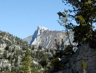
Bag two summits over 9,000 feet in the Eagle Cap Wilderness.
Easy Alpine Climbing
- Distance
- 32 km
- Ascent
- 2 km
- Descent
- 2 km
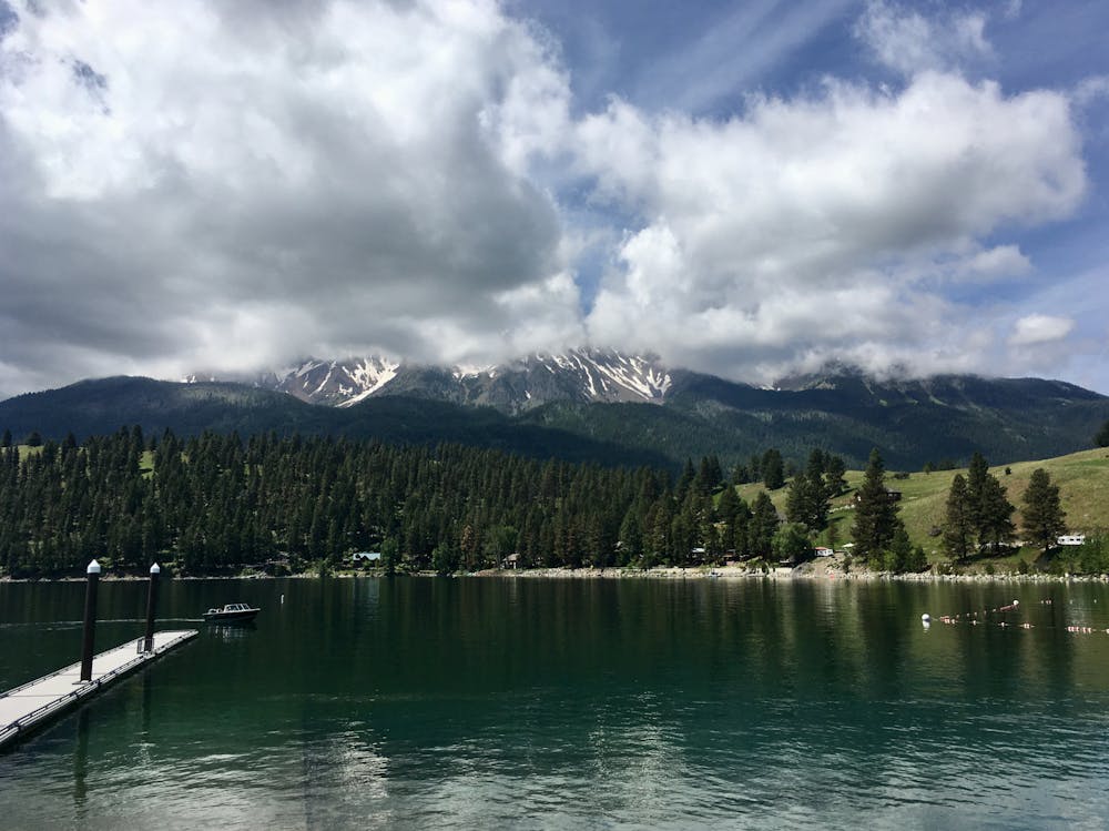
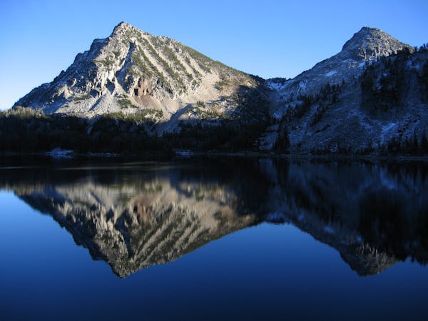
Adventurous peak climb to a prominent mountain looming over Wallowa Lake.
Alpine Climbing Easy

Chief Joseph Mountain looms large over Wallowa Lake, striking a prominent profile against the skyline. While there isn't a developed trail that leads all the way to the top of the mountain, the impressive summit beckons climbers to take their chances on a rough, somewhat challenging ascent.
If you want to bag Chief Joseph, you'll have to climb a whopping 6,800 feet of vertical over a 6.6-mile distance (one-way) to reach the 9,617-foot summit. Begin on the Chief Joseph Trail from the wilderness trailhead near the state park, climbing up and along the flanks of the mountain. After traversing the mountainside and doubling back once, you'll break from the main trail (as noted in this map) and make for the "first chute" that runs to the summit ridge, at around 6,350 feet in elevation.
The First Chute route follows a direct ascent to the ridgeline up a rough avalanche chute. There isn't much of a trail to speak of here, but the easiest route is on the left side of this gulley, according to Cjwhat on SummitPost.org.
Once you top out on the ridge, turn right and follow the ridge toward the summit. Remain aware and cautious of extreme fall exposure as you ascend the ridge. One significant rock outcrop requires you to pass high on the left around the rock—the right side would put you directly over a 1,500-foot drop, so avoid that.
"Once past the outcrop, it's a pleasant mile of broad ridge to the unique summit formation," concludes Cjwhat. Enjoy your time on the summit, then return the way you came.
Sources: https://www.summitpost.org/first-chute/158428 https://www.summitpost.org/chief-joseph-mountain/151725 https://www.peakbagger.com/peak.aspx?pid=3156 https://www.strava.com/heatmap#16.47/-117.23948/45.28002/hot/run
Easy
The ascent involves simple glacier hiking and/or short, straightforward rock scrambles. Equivalent to Alpine F, F+

The majority of the route is "no fall" terrain.
In the high mountains or remote conditions, all individuals must be completely autonomous in every situation.
Bag two summits over 9,000 feet in the Eagle Cap Wilderness.
Easy Alpine Climbing
4 routes · Alpine Climbing · Hiking