13 m away
Catherine Creek Mixed Surface Ride
Out-and-back from Catherine Creek State Park to North Fork Catherine Creek Trailhead.
Moderate Gravel Biking
- Distance
- 28 km
- Ascent
- 351 m
- Descent
- 351 m
Mixed surface ride near the Eagle Cap Wilderness.
Gravel Biking Difficult

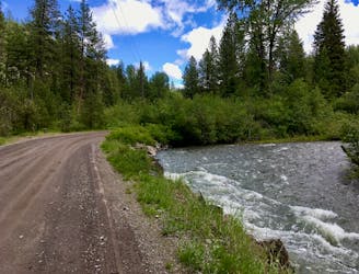
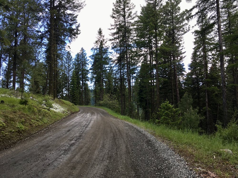
This delightful mixed surface ride begins from the easily-accessible Catherine Creek State Park but then runs way out into the backcountry!
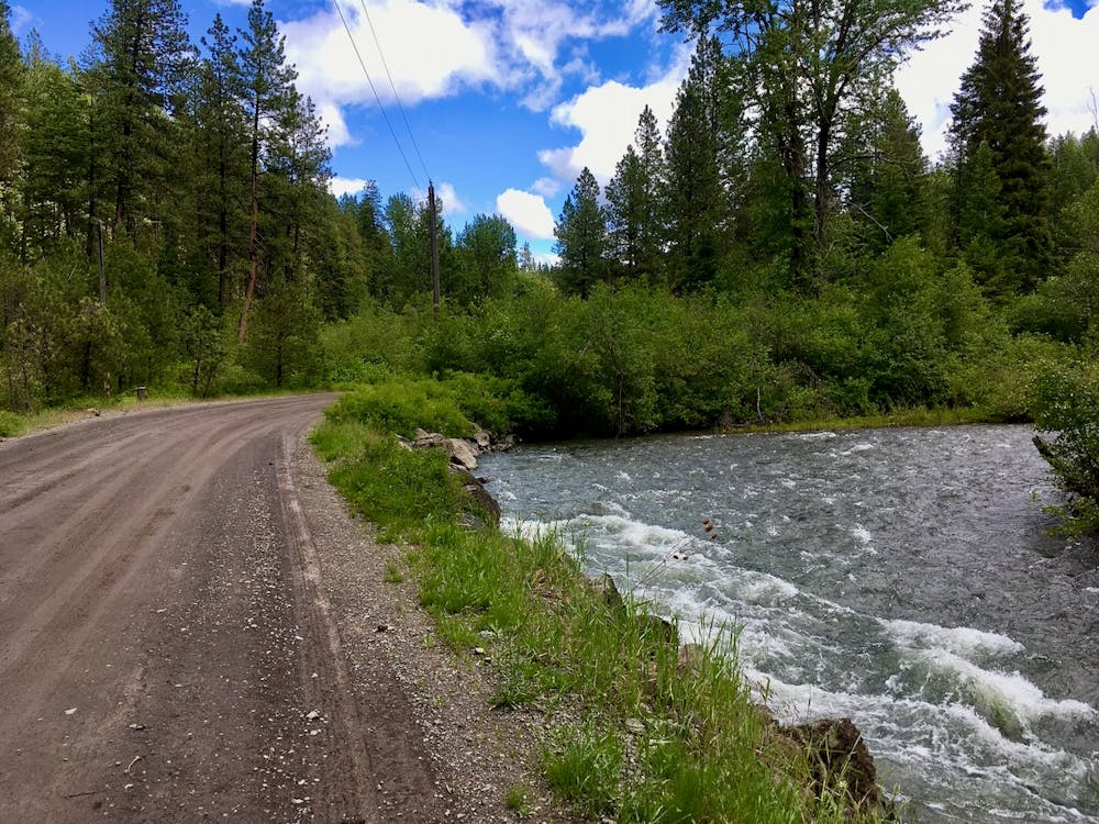
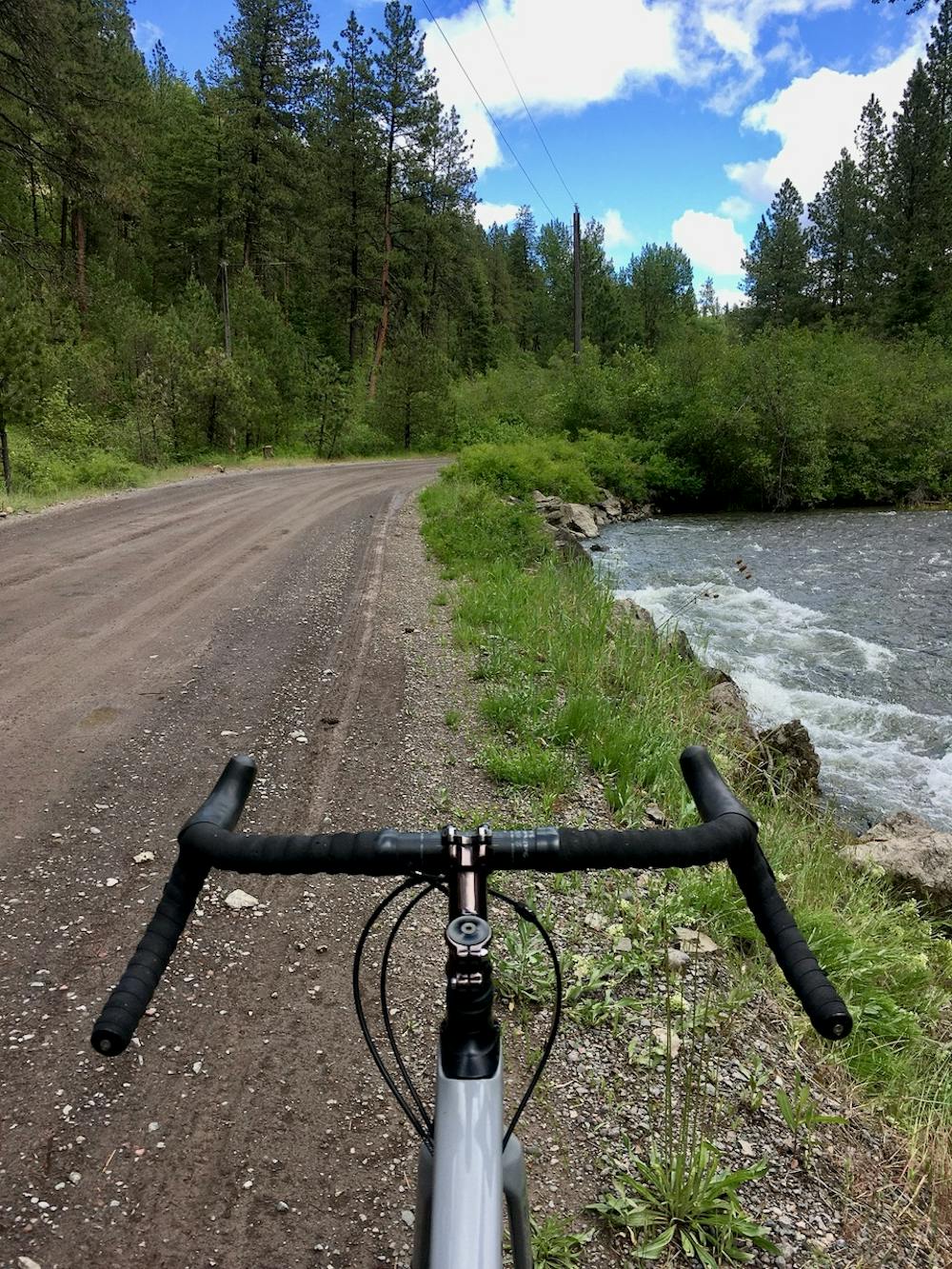
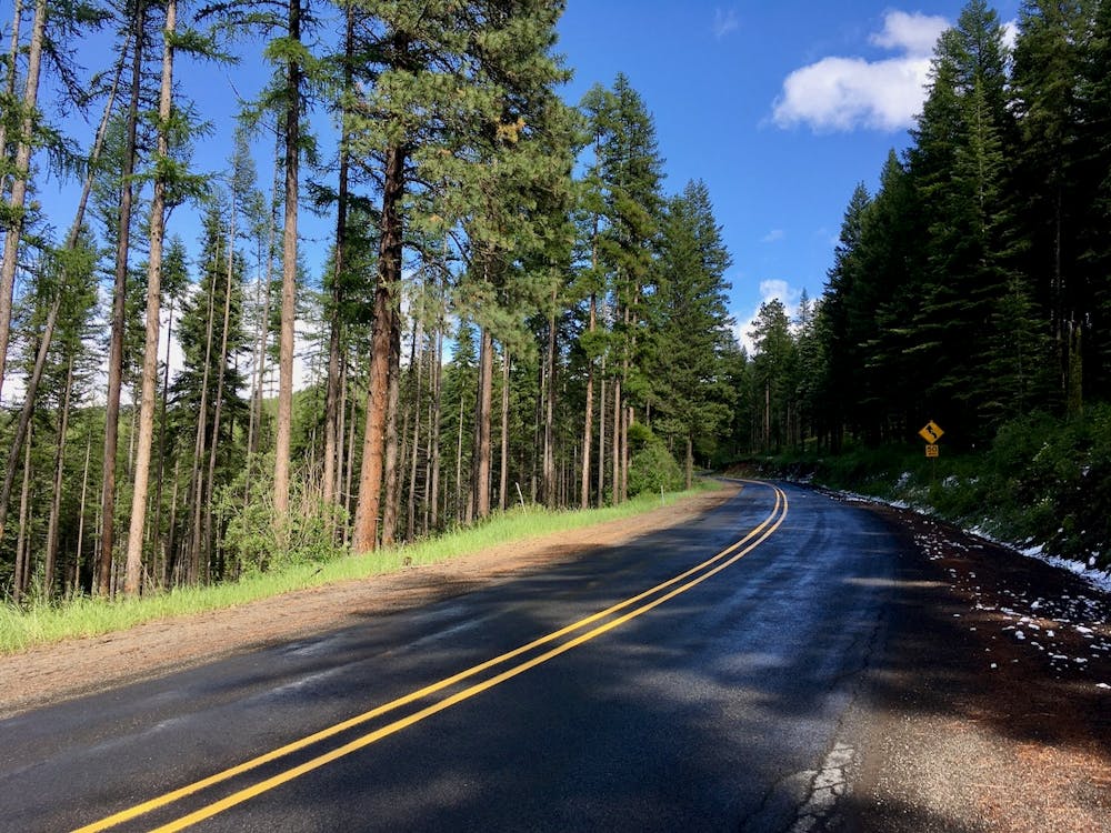
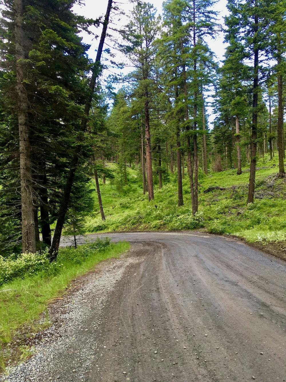
From the state park, this route climbs a paved pass, high into the hills. From the top of the pass, you'll take a left to continue climbing on gravel, eventually working over to the Sand Pass Trailhead. Sand Pass is a trailhead for singletrack trails running deep into the Eagle Cap Wilderness, so being able to pedal your gravel bike all the way to a Wilderness boundary is about as far in the backcountry as you’ll be able to possibly take that bicycle!
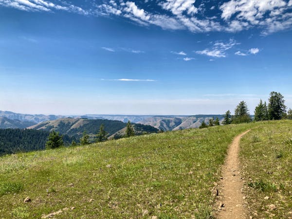
The forest in this zone is deep and dark, with massive pine trees towering overhead and dense undergrowth below. However, along the ridge section after the highway and before you drop to the trailhead, breaks in the trees provide brief glimpses of the landscape around you. Climbing along a ridge is a somewhat unusual experience on a gravel bike, providing entertaining scenery and a unique interaction with the topography.
From the trailhead, the road descends steeply down a narrow valley to reach Catherine Creek Road. This descent could be steep and difficult on skinny tires, so exercise caution.
Once you hit Catherine Creek Road, the steep grades are over. Take a left on the mellow gravel road and then a right on the pavement to return to Catherine Creek State Park.
Difficult

Away from help but easily accessed.
13 m away
Out-and-back from Catherine Creek State Park to North Fork Catherine Creek Trailhead.
Moderate Gravel Biking
18 routes · Mountain Biking · Gravel Biking · Hiking · Stand Up Paddle