99 m away
Fox Hill Road -> Rob's Hill Road Loop
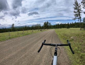
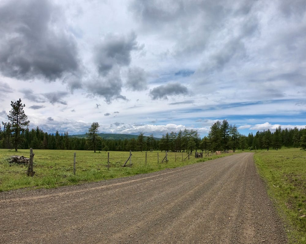
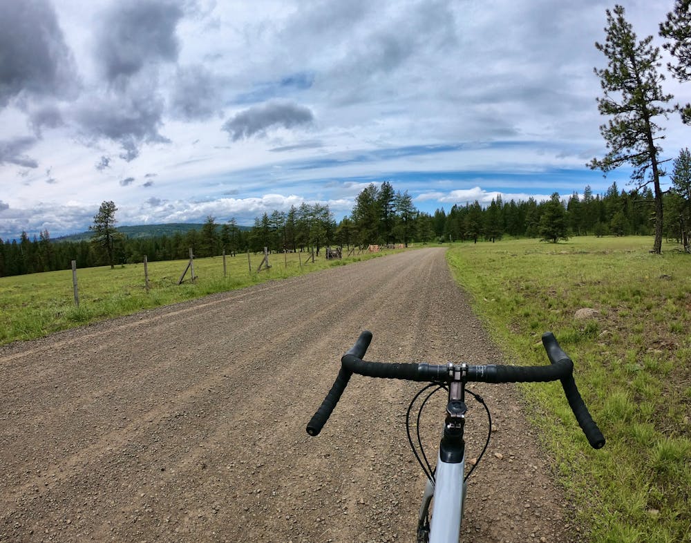
Short but steep gravel loop from downtown La Grande.
Difficult Gravel Biking
- Distance
- 25 km
- Ascent
- 588 m
- Descent
- 588 m
Mixed-surface point-to-point route.
Gravel Biking Difficult

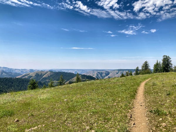
This is a popular gravel biking route which is generally considered to be difficult. It's an unknown remoteness, it features unknown exposure and is typically done in an unknown time of year. From a low point of 562 m to the maximum altitude of 1.8 km, the route covers 113 km, 2203 vertical metres of ascent and 2489 vertical metres of descent.
This is a logical point-to-point route from La Grande to Weston through Wallowa-Whitman National Forest. This route emphasizes a higher-elevation gravel traverse through the national forest, but then transitions to pavement to reach Weston.
Difficult
99 m away
Short but steep gravel loop from downtown La Grande.
Difficult Gravel Biking
18 routes · Mountain Biking · Gravel Biking · Hiking · Stand Up Paddle