3.6 km away
North Fork Catherine Creek to the Meadow
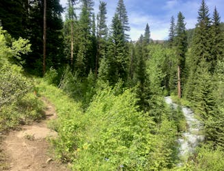
A locals' favorite hike in the Eagle Cap Wilderness.
Moderate Hiking
- Distance
- 16 km
- Ascent
- 474 m
- Descent
- 474 m
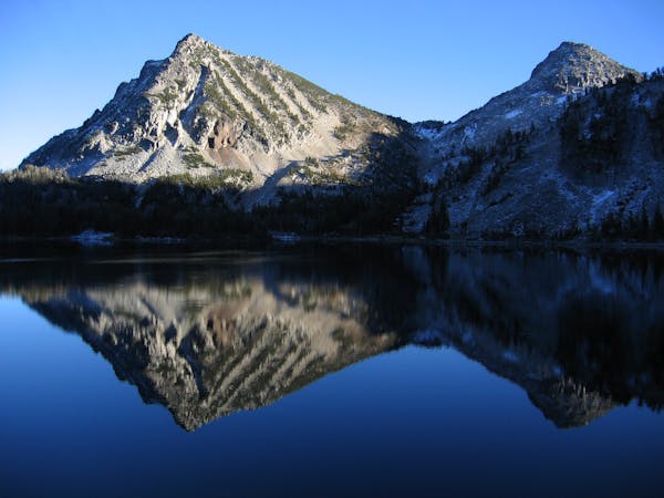
Summit the China Cap
Hiking Severe

The China Cap is one of the most easily-accessible summits in the Eagle Cap Wilderness. While it's not the tallest peak in the Wallowas by any means, the 8.7-mile round-trip hike is very manageable in a single day, whereas many of the other major summits in the Wilderness would require multi-day backpacking excursions for most mere mortals. The ability and opportunity to get to climb the China Cap in a day (or half-day) is attractive and rewarding!
Severe
Hiking challenging trails where simple scrambling, with the occasional use of the hands, is a distinct possibility. The trails are often filled with all manner of obstacles both small and large, and the hills are very steep. Obstacles and challenges are often unexpected and can be unpredictable.
3.6 km away
A locals' favorite hike in the Eagle Cap Wilderness.
Moderate Hiking
4 routes · Alpine Climbing · Hiking
18 routes · Mountain Biking · Gravel Biking · Hiking · Stand Up Paddle