3 km away
Kent's -> Phil's Short Loop
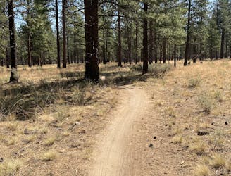
Hike a classic loop in the popular Phil's Trail Network.
Easy Hiking
- Distance
- 8.9 km
- Ascent
- 120 m
- Descent
- 120 m
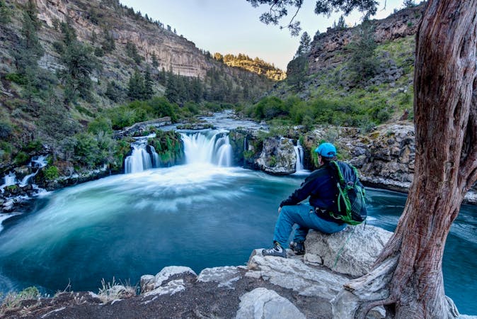
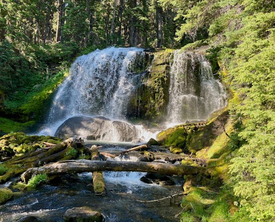
The Deschutes River Trail in its entirety.
Hiking Easy

This is a popular hiking route which is generally considered to be easy. It's an unknown remoteness, it features unknown exposure and is typically done in an unknown time of year. From a low point of 1.2 km to the maximum altitude of 1.3 km, the route covers 22 km, 252 vertical metres of ascent and 170 vertical metres of descent.
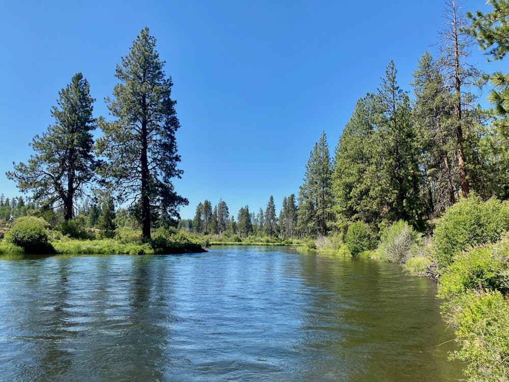
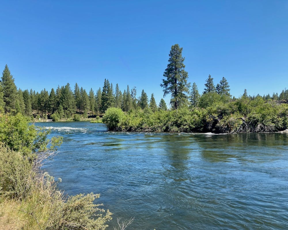
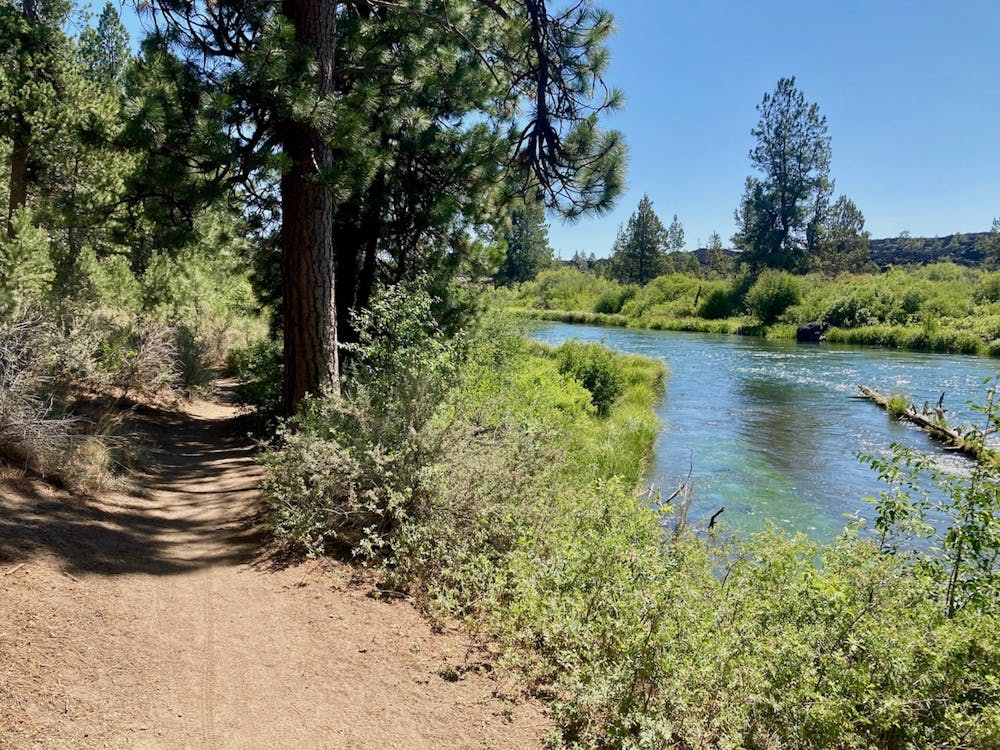
The entire Deschutes River Trail running from Bend to Sunriver.
Easy
Walking along a well-kept trail that’s mostly flat. No obstacles are present.
3 km away
Hike a classic loop in the popular Phil's Trail Network.
Easy Hiking
4.2 km away
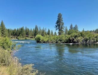
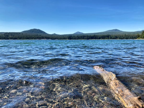
Scenic hike along the Deschutes River.
Easy Hiking
6.7 km away
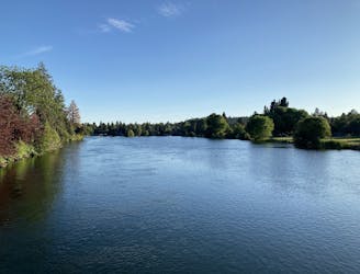
Mellow walk through Drake Park along the picturesque Mirror Pond.
Easy Hiking
3 routes · Hiking · Trail Running
4 routes · Mountain Biking · Hiking
9 routes · Hiking
5 routes · Mountain Biking · Hiking · Stand Up Paddle