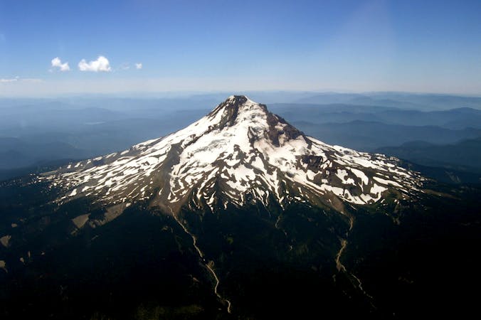
Start at the Trapper Creek Trailhead, and follow the trail 0.2 mile to the first junction. Keep left at the fork for a gradual ascent through open forest, paralleling Trapper Creek, which cascades over rocks and down trees, creating mini waterfalls along the way. After 4.8 miles, skirt the edge of Diamond View Lake, and continue south. One mile later, turn right, heading west toward Diamond Peak and the Pacific Crest Trail—keep your camera ready for picturesque views of Diamond Peak that appear through openings in the trees. At mile 11, the route briefly follows the PCT before joining a climber's trail for the 1.3-mile stretch to the top of Diamond Peak, an extinct shield volcano. Look out onto lake-speckled landscapes from this Cascade summit, then descend back to Waypoint 10 and turn left.The return route follows the PCT along the foot of Diamond Peak, passing campsites, lakes, and views of open meadows (where you may spot roaming black bears). Leave the PCT at mile 26 and follow a gravel road and the eastbound Whitefish Trail back to Waypoint 2 and the Trapper Creek Trail.-Mapped by Trung Q. LeTrailhead: I-5 S to exit 188A to OR 58 E/Willamette Hwy. In 62.7 miles, turn right onto NF 5810/Odell Lake W Access Rd./Trapper Creek Campground. In 2 miles, bear right to stay on NF 5810. Go 0.1 mile to trailhead parking on right.