9 km away
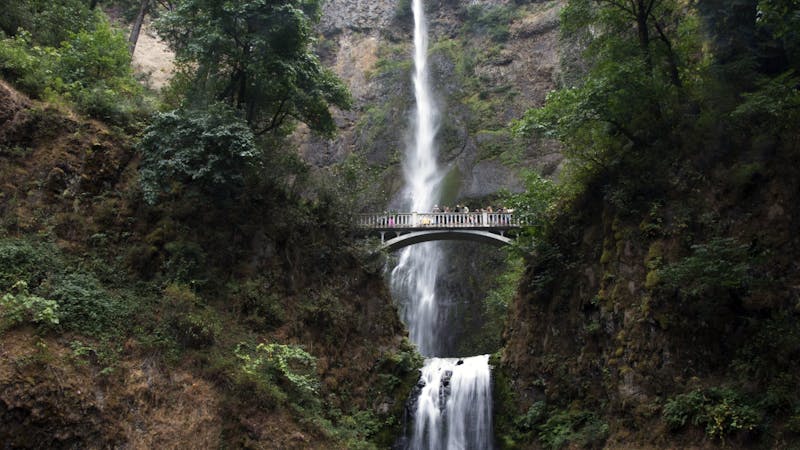
Multnomah Falls
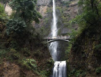
The tallest waterfall in the state of Oregon is a truly spectacular sight to behold!
Moderate Hiking
- Distance
- 3.9 km
- Ascent
- 275 m
- Descent
- 275 m
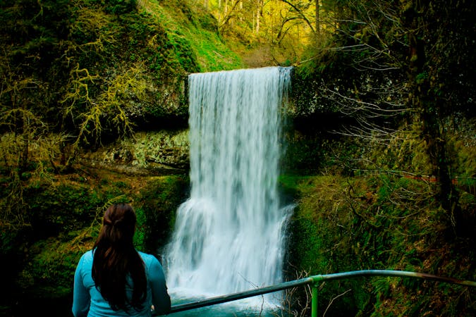
Two majestic waterfalls in basalt amphitheaters, both along the same hiking loop and within an easy drive from Portland.
Hiking Moderate

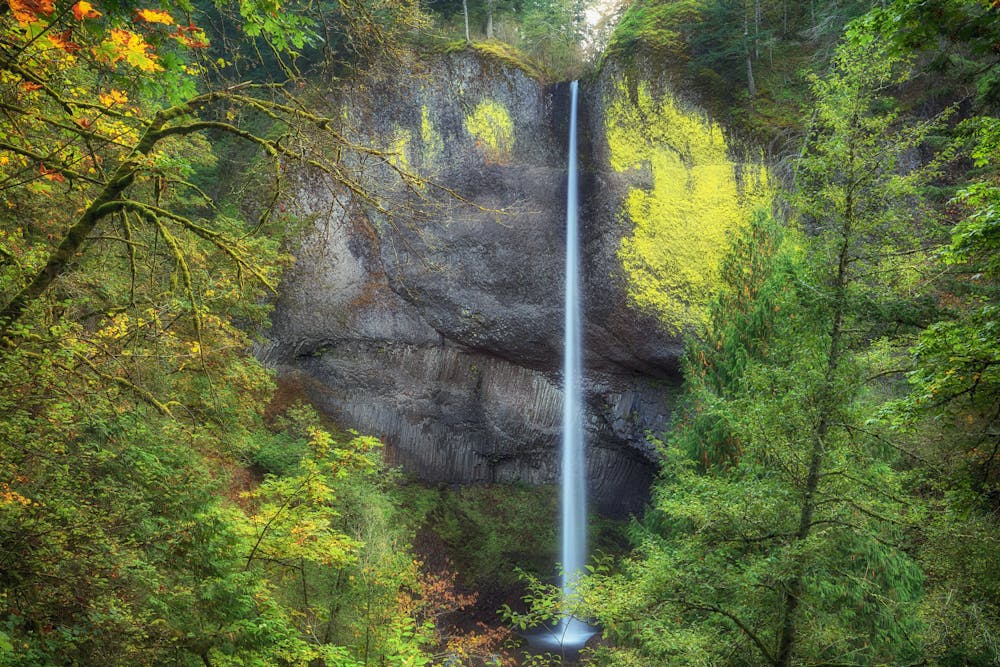
On a drive through the Columbia Gorge from Portland, Latourell Falls is the first waterfall you pass. It’s within Guy W. Talbot State Park, which is a small park with a picnic area in addition to the waterfall trail. The trail begins as a narrow, paved path going into the forest, and leads to Latourell Falls almost right away. It’s a free-fall plunge through a basalt amphitheater, with walls brilliantly colored by yellow lichen. A wooden bridge crosses the rushing stream, and a slippery side trail leads closer to the base of the falls. For the most impressive spectacle, visit after heavy rain or snowmelt when the waterfall is in full force.
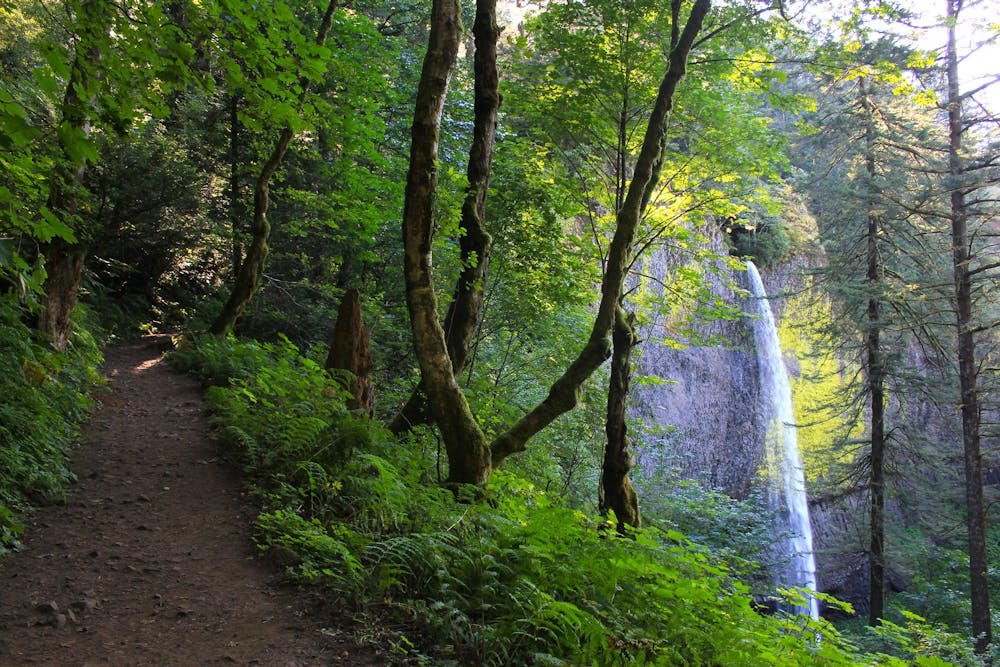
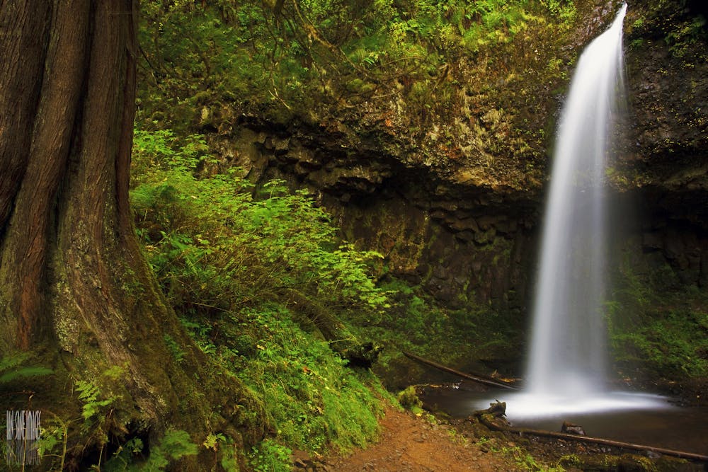
After crossing the bridge, the asphalt path goes out to the state park picnic area. From there it turns back into the forest and up some stairs, and soon meets the highway. On the other side of the road the path is no longer paved. This rocky, rooty, and often muddy trail leads more steeply uphill and deeper into the fern-draped forest. It passes alongside the tumbling creek, and beneath the arcing arms of old-growth trees. Eventually you’ll reach Upper Latourell Falls. Though it doesn’t plummet as far in free-fall as the lower waterfall does, this two-tiered drop is actually one of the tallest waterfalls in the Columbia Gorge. After crossing the footbridge here, the trail winds back along the other side of the gorge, and finds one final view of the lower waterfall before returning to the parking lot.
Sources: https://stateparks.oregon.gov/index.cfm?do=park.profile&parkId=112 https://gorgefriends.org/hike-the-gorge/latourell-falls-loop.html
Moderate
Hiking along trails with some uneven terrain and small hills. Small rocks and roots may be present.

The trail contains some obstacles such as outcroppings and rock which could cause injury.
Away from help but easily accessed.
9 km away
The tallest waterfall in the state of Oregon is a truly spectacular sight to behold!
Moderate Hiking
10 routes · Hiking · Trail Running
5 routes · Hiking
7 routes · Hiking