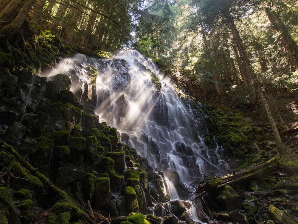
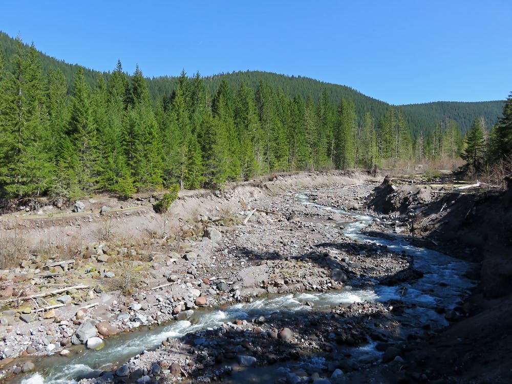
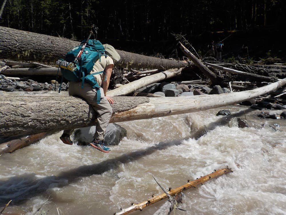
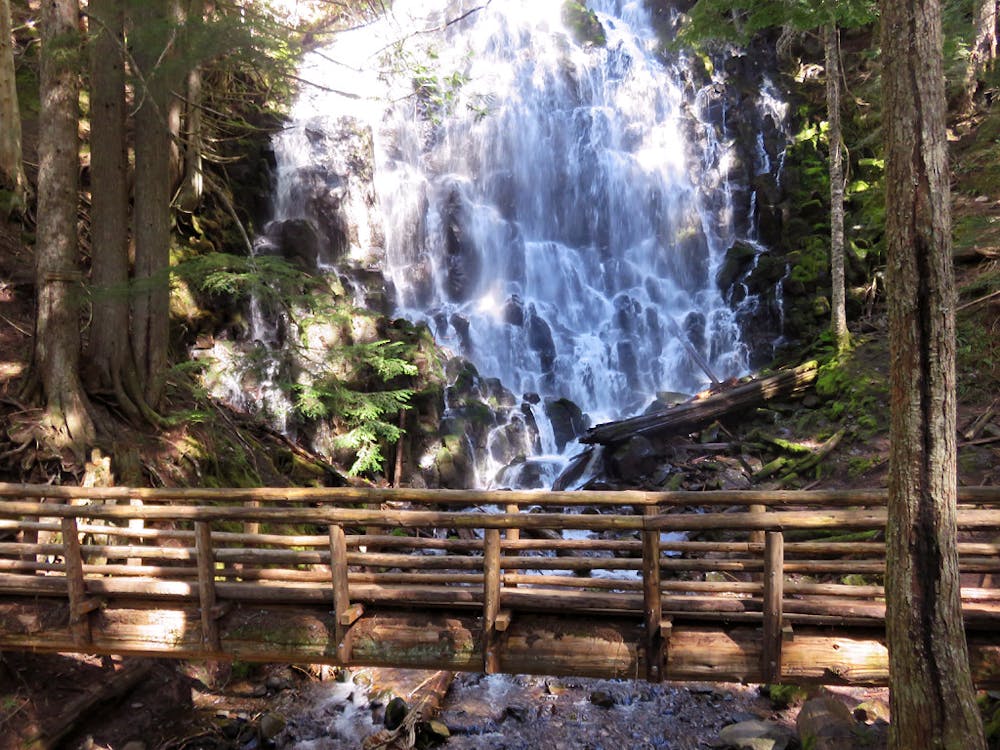
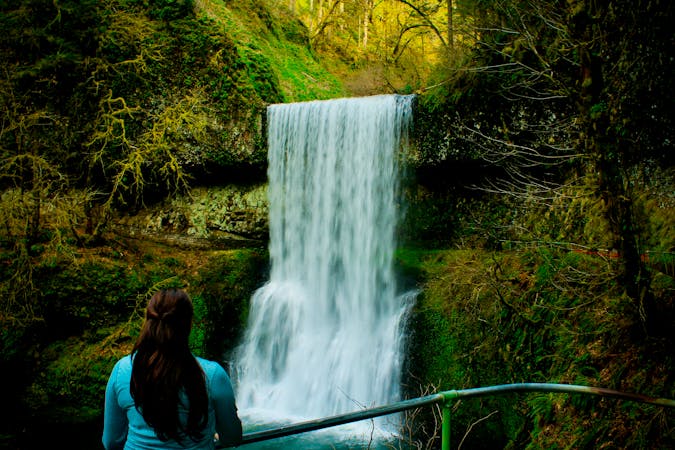
Much of the hike is alongside the Sandy River, where you’ll see the forces of erosion at work on the denuded banks. This river is carving through geologically recent ash deposits from Mount Hood, and forest is simultaneously reclaiming the surface. The trail crosses the river where there used to be a bridge, but after a flood wrecked it in 2014 the Forest Service decided not to build a new one. Now you must find a way to cross the river yourself. This can be easy or hard, depending on conditions and positions of fallen logs. The water level changes with the seasons, and the logs can shift during high flows. This is a glacial stream that flows highest in late spring and early summer, and can flash dramatically with rainfall. Use extreme caution when crossing. Hikers have been swept away and drowned here before. On the other side, the Pacific Crest Trail continues along the river, to soon join the Timberline Trail and find the waterfall. From there, another trail meanders down Ramona Creek, which does have footbridges across it, and eventually rejoins the main trail near the Sandy River crossing.
Late summer and early fall are the safest seasons for this hike because of lower water level. The hike remains popular in early summer, though the river crossing can be dangerous. In winter and spring, the trail is buried in snow and the road is only open to a point about 2 miles from the trailhead. Until April 1, or later in some years, you must walk or ski this extra distance on the road if you want to reach the trail.
Sources:
https://www.oregonhikers.org/fieldguide/RamonaFallsLoopHike
https://www.fs.usda.gov/recarea/mthood/recarea/?recid=53460