White River Falls
Short hike to view an incredible waterfall tucked away in a desert canyon.
Hiking Moderate
- Distance
- 1.5 km
- Ascent
- 63 m
- Descent
- 63 m
- Duration
- 0-1 hrs
- Low Point
- 261 m
- High Point
- 320 m
- Gradient
- 6˚

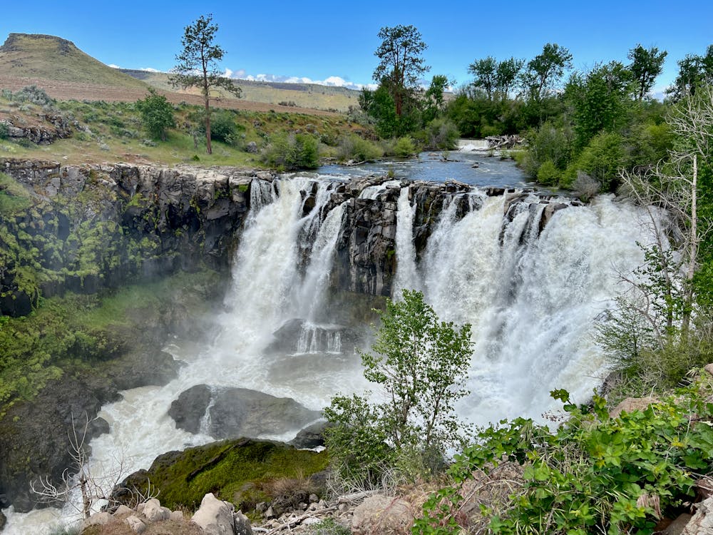
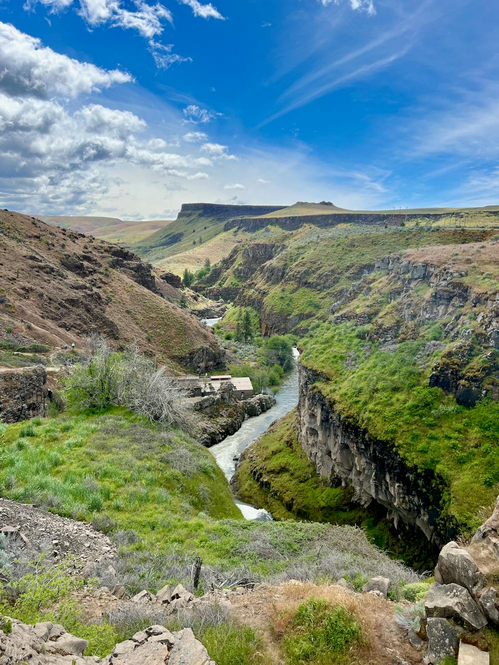
This short hike near White River Falls offers a fantastic effort-to-view ratio. In fact, you can see the 90-foot-tall waterfall from above after just a short walk along a paved path, but the "full" hike down and along the river is well worth the effort.
- •
- •
- •
- •
- •
- •
Description
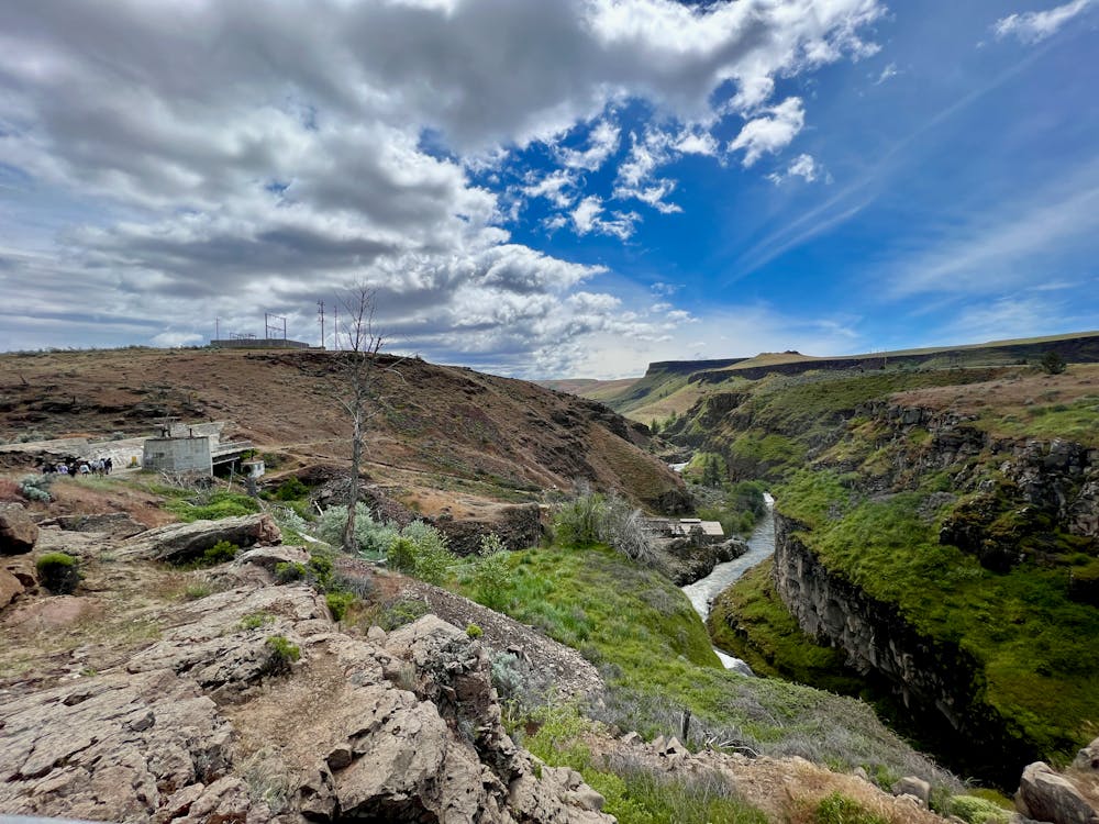
After viewing the falls from the top, the paved trail turns to dirt and descends steeply down to the banks of the river below. As you descend, you'll see the ruins of an old hydroelectric plant. According to Oregon State Parks, it was "one of the first hydroelectric power plants in Oregon" and "it supplied electricity to Wasco and Sherman Counties from 1910-1963." Today, you can see the small dam and remnants of the pipe that diverted water to the plant, as well as the bones of the old building and pieces of ancient machinery.
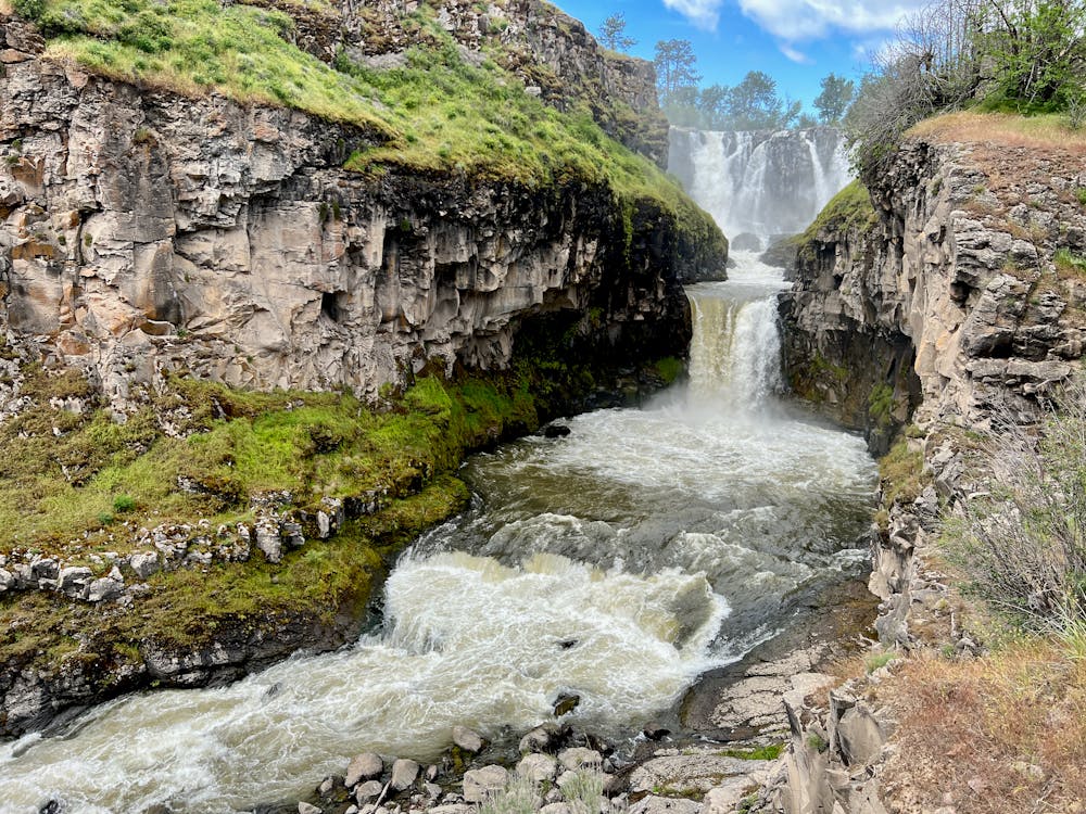
During the hike to the bottom, be sure to pause and turn right for the most fantastic view of White River Falls! From here, you'll enjoy the most incredible vantage point of the two-stage falls. You'll observe that the upper waterfall is wide and fragmented, but after dropping into the first pool, it funnels through a narrow chasm and then plunges off a second ledge, creating an even more impressive rush of water that's known as Celestial Falls.
The hike down to the bottom is quite steep, rocky, and eroded in places. Some steps have been installed to aid in the descent and returning ascent, but do note that while this hike is short, it isn't easy. While this hike is too short to warrant a "Difficult" FATMAP rating, if it was much longer, the difficulty would indeed be upgraded from the current "Moderate" rating. Before you descend to the river below, ensure that you're prepared for the climb back out.
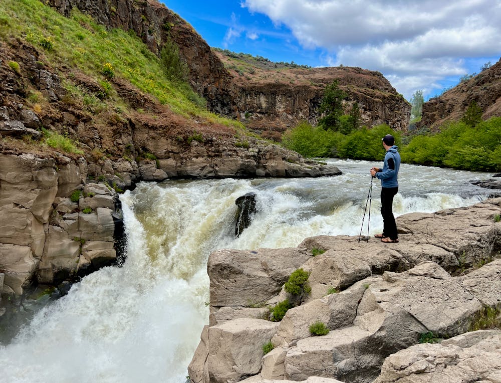
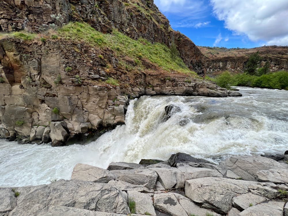
Once at the river, take some time to admire the ruins of the hydroelectric plant. From here, the trail gets narrower but continues to run along the banks of the river. Be sure to keep following this trail, as you'll be able to spot another beautiful waterfall lower down, which is known as Lower White River Falls. While nowhere near as tall as the upper falls, this lower cascade is still well-worth viewing, and the narrow trail along the ledge above the river provides a beautiful, rewarding hike.
Once you're done enjoying the beauty of the falling water, return to the parking lot along the same trail that you descended.
Difficulty
Moderate
Hiking along trails with some uneven terrain and small hills. Small rocks and roots may be present.
High Exposure

Some trail sections have exposed ledges or steep ascents/descents where falling could cause serious injury.
Remoteness

Close to help in case of emergency.
Best time to visit
Features
- Historical
- Picturesque
- Water features
- Family friendly