1 m away
Eula Ridge Shuttle
The steepest descent in Oakridge!
Severe Mountain Biking
- Distance
- 11 km
- Ascent
- 360 m
- Descent
- 1.1 km
Deep, dark, and fast--this is one of the furthest shuttles from Oakridge.
Mountain Biking Difficult

Hardesty Mountain is one of the more remote and lesser-ridden shuttle runs in the Oakridge trail network. With the lower trailhead located 15 miles from downtown Oakridge, you'll have to contact Cog Wild directly in order to schedule a commercial shuttle for Hardesty Mountain. But, it is still possible to pay for a ride to the top.
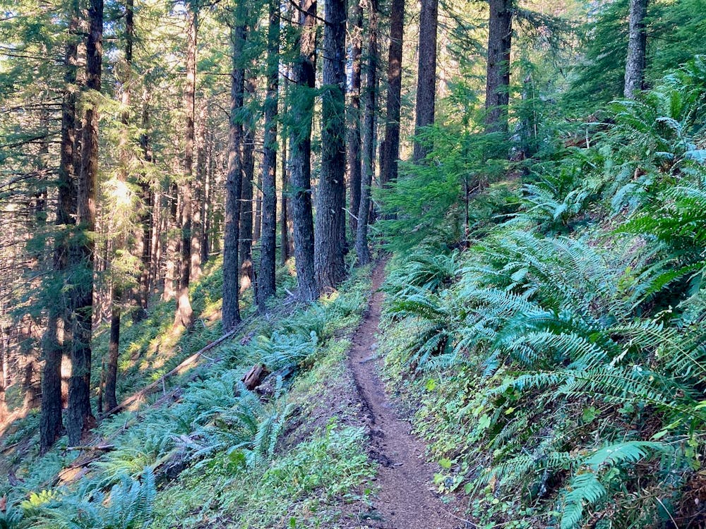
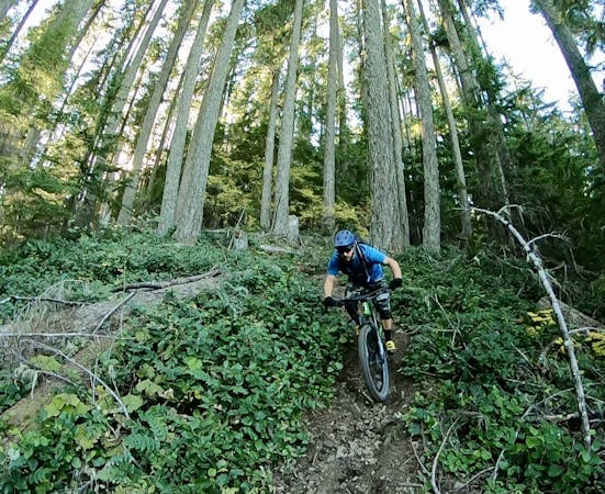
At least, you can book a ride almost to the top. The route begins with a 1,200-foot climb up a narrow dirt road that eventually transitions to singletrack. The trail tops out on top of the eponymous mountain, and you'll spot the foundations of an old fire tower. Imagine how small the trees must have been when the tower was standing!
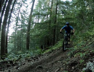
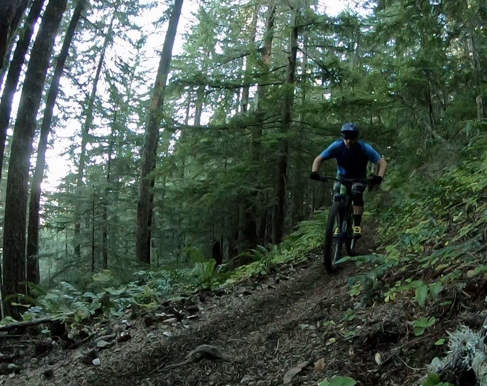
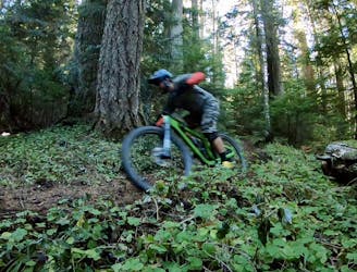
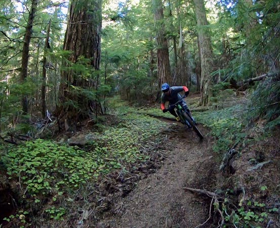
The descent down Hardesty is fast and furious, with nary a break to catch your breath. Like most trails in Oakridge, the dirt is dark and loamy, providing world-class traction and a kinesthetic tires-in-dirt experience that many mountain bikers can only dream of.
While some of the best trails in Oakridge, like the Alpine Trail, alternate between climbing and descending, with overall mellow grades and long sightlines, the trail grade on Hardesty is dramatically steeper. The occasional awkward corner will keep you on your toes, and the sightlines are a fair bit shorter than they are on Alpine. This is due to the deep, dark, tight forest that you're passing through and the incredible speed you can pick up on this trail. But if you've already ridden nearby Lawler or Eula Ridge, you know the drill!
The route mapped here pops out at the highway and the lower Hardesty Mountain Trailhead, but if you want to connect to another location or fancy a bit more pedaling, take a turn onto the South Willamette Trail for a gorgeous but little-ridden pedal through a rain forest.
Difficult
Mostly stable trail tread with some variability featuring larger and more unavoidable obstacles that may include, but not be limited to: bigger stones, roots, steps, and narrow curves. Compared to lower intermediate, technical difficulty is more advanced and grades of slopes are steeper. Ideal for upper intermediate riders.

The trail contains some obstacles such as outcroppings and rock which could cause injury.

Little chance of being seen or helped in case of an accident.
1 m away
The steepest descent in Oakridge!
Severe Mountain Biking
2.9 km away
The deepest, darkest zone in Oakridge.
Difficult Mountain Biking
10 routes · Mountain Biking

20 routes · Mountain Biking
6 routes · Mountain Biking

15 routes · Mountain Biking