990 m away
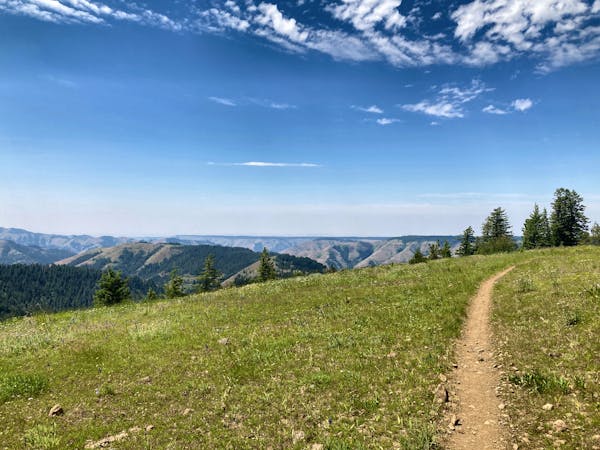
The MERA Loop
The eponymous trail connecting the larger MERA trail system together.
Moderate Mountain Biking
- Distance
- 12 km
- Ascent
- 363 m
- Descent
- 363 m
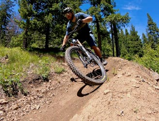
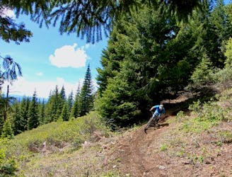
Rough Rider is steep fall line alternate to Zig Zag.
Mountain Biking Difficult

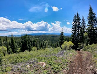
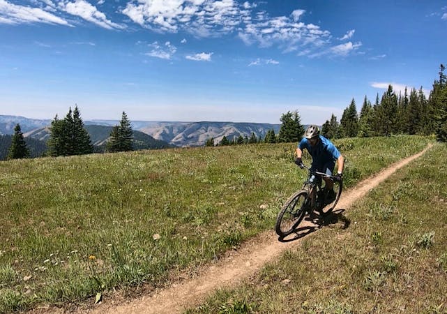
This is a popular mountain biking route which is generally considered to be difficult. It's remote, it features medium exposure and is typically done between April and November. From a low point of 1.2 km to the maximum altitude of 1.2 km, the route covers 373 m, 0 vertical metres of ascent and 40 vertical metres of descent.
Rough Rider is a steep fall line descent that departs from Zig Zag. Both Zig Zag and Rough Rider appear to be two of the older trails on the mountain. While they still get some traffic, the newer trails built nearby—such as Dirt Circus—offer far more entertaining descents.
Difficult
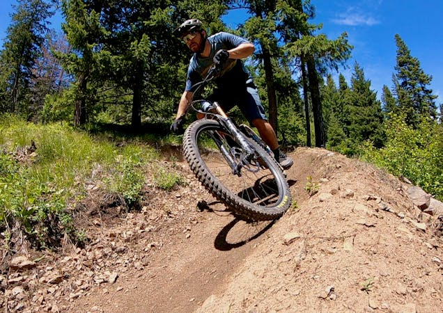
Mostly stable trail tread with some variability featuring larger and more unavoidable obstacles that may include, but not be limited to: bigger stones, roots, steps, and narrow curves. Compared to lower intermediate, technical difficulty is more advanced and grades of slopes are steeper. Ideal for upper intermediate riders.

The trail contains some obstacles such as outcroppings and rock which could cause injury.
Away from help but easily accessed.
990 m away
The eponymous trail connecting the larger MERA trail system together.
Moderate Mountain Biking
1.3 km away

One of the best routes to maximize the descending at MERA.
Difficult Mountain Biking
1.3 km away
A MERA loop variant with more climbing and flow-filled descending.
Moderate Mountain Biking
1.3 km away
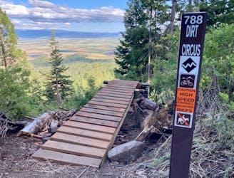
The first downhill mountain biking-only trail at MERA!
Severe Mountain Biking
1.3 km away
Ride from the low point to the high point—and back!—of the MERA trail system.
Difficult Mountain Biking
2.5 km away
Singletrack gems on the moto legal side of MERA.
Difficult Mountain Biking
2.5 km away
A ripping loop on the moto side of the mountain.
Difficult Mountain Biking
11 routes · Mountain Biking
18 routes · Mountain Biking · Gravel Biking · Hiking · Stand Up Paddle
5 routes · Mountain Biking

20 routes · Mountain Biking

15 routes · Mountain Biking