6.3 km away
Bad Motor Scooter -> Grand Prix -> Toilet Bowl Jump Run
Shred a hot lap on some of Post Canyon's best jumps.
Severe Mountain Biking
- Distance
- 8.6 km
- Ascent
- 301 m
- Descent
- 301 m
A top-to-bottom shuttle run through some of the roughest trails and sweetest flow at Post Canyon
Mountain Biking Severe

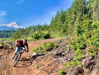
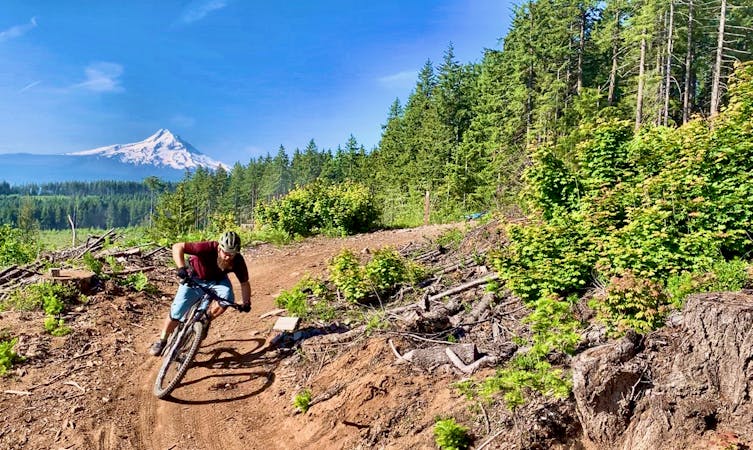
Post Canyon reigns supreme as the most popular—and most expansive—trail system in Hood River, Oregon. The trails here are so good, and the network so expansive, that Post Canyon draws riders from Portland every day of the week… despite the 1 hour, 15 minute drive.
Local rider Chris Daniels characterizes Post Canyon as "the epitome of trail networks” in his article on Singletracks.com, saying "you can sample from the largest buffet of trail types within a relatively small geographic area.”
Thanks to a gravel road that conveniently runs all the way to the top of the network, shuttling the trails at Post Canyon is extremely popular. The route mapped here is but one option from the myriad at your disposal.
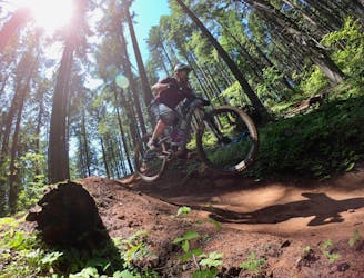
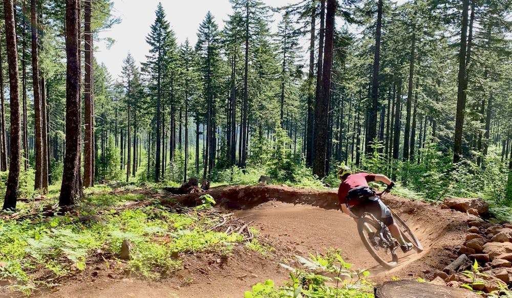
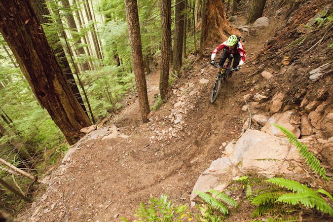
This route through Post Canyon includes some of the gnarliest trails in the network. Inspired by the route chosen for the Cascadia Dirt Cup enduro race, this shuttle run drops through chundery rock gardens and down a cascade of ledge drops. Some of the drops can be bypassed, but as usual, the fastest—and overall smoothest—line requires pinning straight off some significant hits.
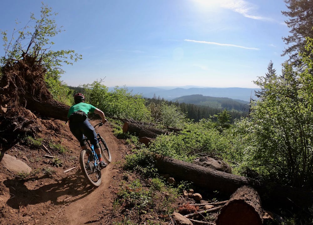
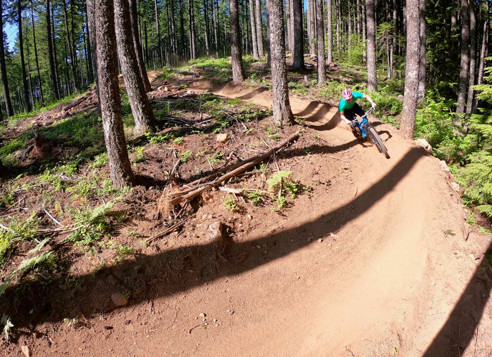
Lower down, the run mellows out a bit, flowing through some chill terrain on motorized trails. A few punchy climbs punctuate the descent, but that climbing leads you to a few of the most popular nonmotorized trails in the system, such as 130 and Mitchell Ridge.
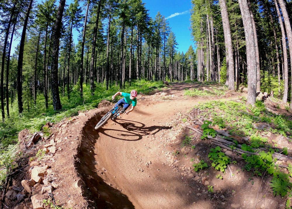
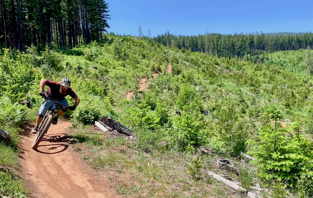
Here, the singletrack swoops and flows down the mountain, with plenty of opportunities to rail sweet berms and take to the air. Gone are the motoed-out whoops and turns of the upper trails, with smooth, buff singletrack in its place.
All too soon, the run is over. Maybe you’ll just have to load up and drive back up the mountain for a second run?!
Severe
Widely variable, narrow trail tread with steeper grades and unavoidable obstacles of 15in/38cm tall or less. Obstacles may include unavoidable bridges 24in/61cm wide or less, large rocks, gravel, difficult root sections, and more. Ideal for advanced-level riders.

Some trail sections have exposed ledges or steep ascents/descents where falling could cause serious injury.

Away from help but easily accessed.
6.3 km away
Shred a hot lap on some of Post Canyon's best jumps.
Severe Mountain Biking
7.4 km away
An excellent sampler of a loop ride in the expansive Post Canyon trail system.
Difficult Mountain Biking

16 routes · Mountain Biking
7 routes · Mountain Biking
6 routes · Mountain Biking

15 routes · Mountain Biking