6.1 km away
Mt. Hood Climbers Trail

An in-bounds uphill route high on Mount Hood, where you can get a quick ski tour during most months of the year.
Moderate Resort Ski Touring
- Distance
- 3.2 km
- Ascent
- 804 m
- Descent
- 2 m
Designated route for uphill travel at Mt. Hood Skibowl, during both operating and non-operating hours.
Resort Ski Touring Moderate

Mt. Hood Skibowl allows uphill travel on this designated route from the West Side base area, normally marked with yellow discs on the hill. It can be used to get all the way to Upper Bowl during times when the resort is not operating. This opens up some awesome steep terrain during off hours as well as early or late season, for those willing to earn their turns. However, the Upper Bowl should be treated like backcountry terrain during those times when it’s not patrolled. Uphillers must also watch out for closures and mountain operations at any time.
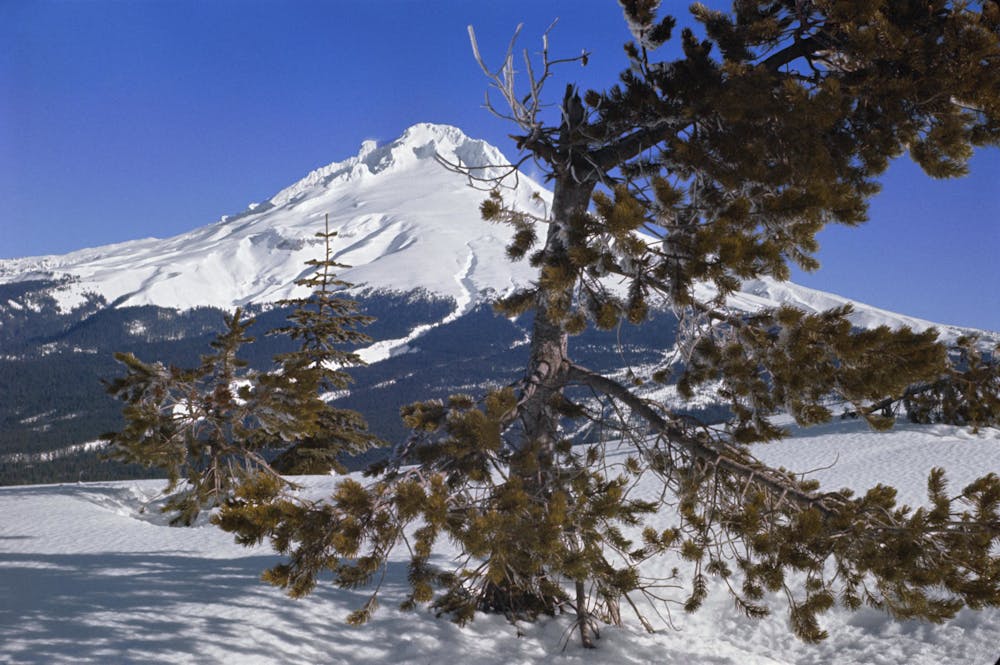
Even when the resort is open, you can travel uphill on this designated route to Multorpor chairlift, but no higher. This is at the top of High Road trail and about halfway up the track mapped here. From the top of Multorpor you could ski down any of the runs under the lift, but you’ll then have to skin up Lake Road to get back to West base area, as uphill is not allowed on the Multorpor runs. The alternative is returning down High Road to any other run into Lower Bowl.
In general Skibowl is pretty accommodating to uphill users, but there are some nuances to the rules. Be sure to learn the uphill policy and respect any restrictions in place, so that access can be preserved for everyone.
Moderate

Close to help in case of emergency.
6.1 km away
An in-bounds uphill route high on Mount Hood, where you can get a quick ski tour during most months of the year.
Moderate Resort Ski Touring