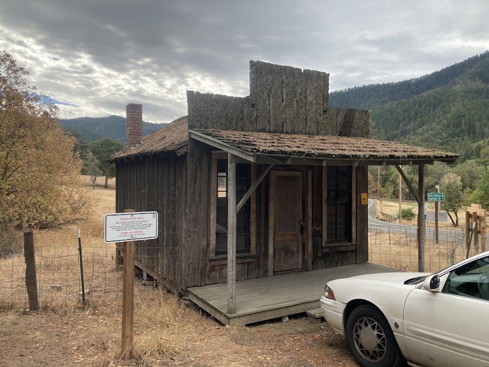
Buncom Mixed-Surface Ride
A mellow mixed-surface ride in the valley east of Buncom.
Road Biking Severe
- Distance
- 29 km
- Ascent
- 431 m
- Descent
- 431 m
- Duration
- 1-2 hrs
- Low Point
- 512 m
- High Point
- 771 m
- Gradient
- 2˚

This mellow out-and-back ride rolls through the bottom of a steep-sided mountain valley to the east of the ghost town of Buncom. After enjoying the historic buildings in the ghost town, head out on the pavement for an easy warm up.

Description
After a few miles of paved pedaling past beautiful farms, the pavement ends and gravel takes over. The remainder of the ride follows well-graded and generally well-packed gravel roads, and while a classic road bike might make it, a gravel bike is recommended.
After the pavement ends, the scenery gets progressively more rural, until you're pedaling beneath a towering canopy of deciduous trees, just above the tumbling creek below. In the fall, this narrow valley provides beautiful fall colors.
Along the ride, you'll pass a number of trailheads for narrower singletrack trails, including the Sterling Mine Ditch Trail. If you're on a more capable mountain bike, you could make loops with these trails.
At the end of the out-and-back route mapped here you could opt to take a left for a steep climb up the mountain ridge. Or, going straight would provide mellower pedaling, but with more substantial climbing than you've tackled thus far.
Whether you choose to elongate your ride or turn around at this point, you'll have just pedaled through one of the most scenic valleys in Southern Oregon!
Difficulty
Severe
