Rogue River -> Ti'lomikh Falls
A delightful mostly-greenway route.
Easy Road Biking
- Distance
- 34 km
- Ascent
- 192 m
- Descent
- 192 m
Beautiful paved greenway path running along the Rogue River.
Road Biking Easy

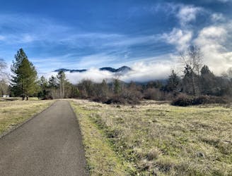
The Rogue River Greenway is a beautiful paved trail offering delightful traffic-free cycling through the bottom of the Rogue River Valley. The almost 8-mile trail runs from the town of Rogue River through the Valley of the Rogue State Park and then further east until it ends abruptly near a small stream.
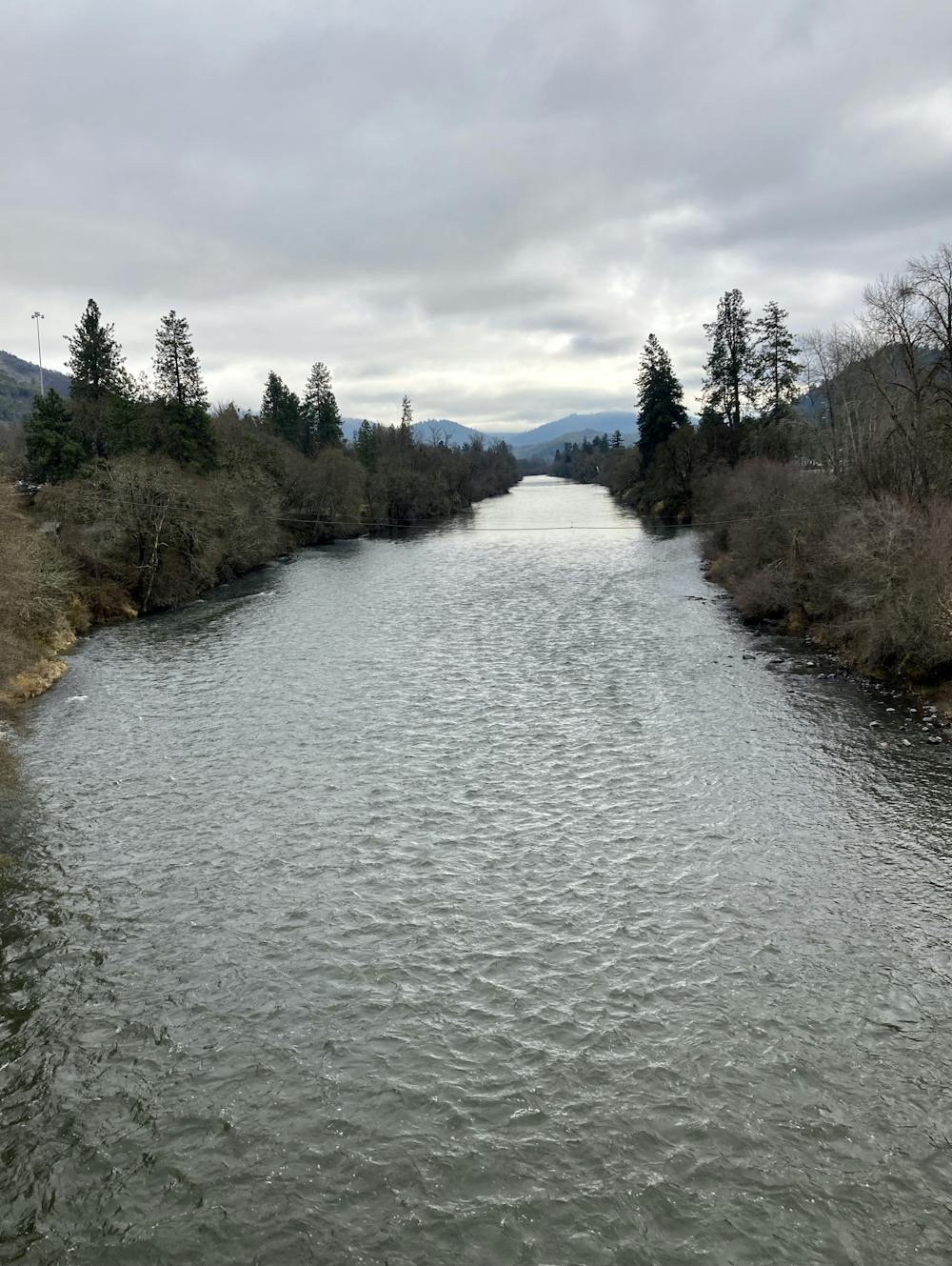
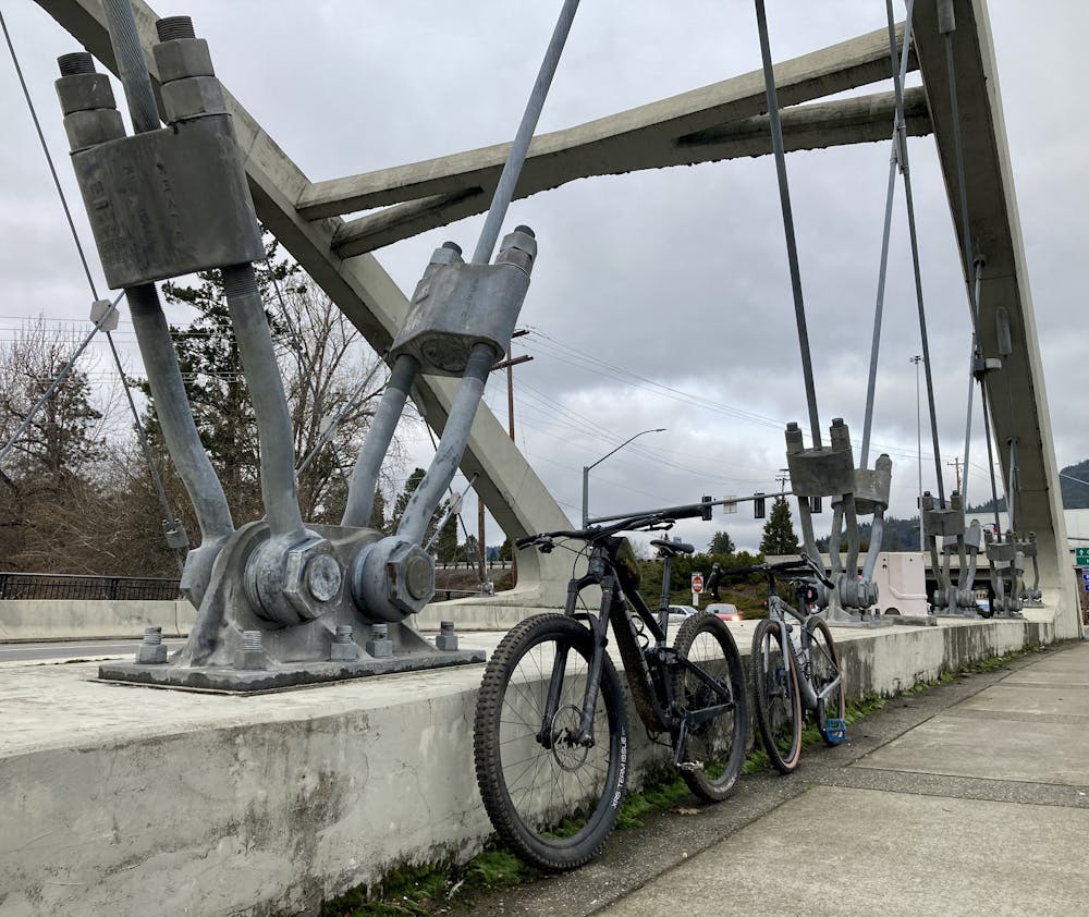
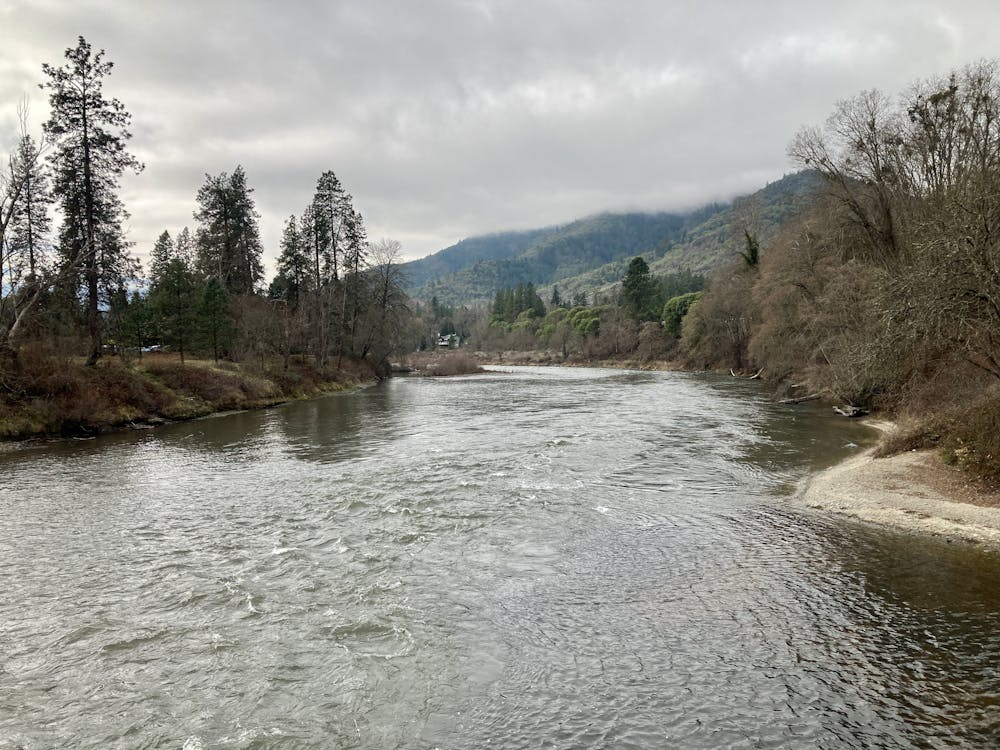
The section of the greenway to the west of the state park runs close to the river banks providing beautiful views of the river and the surrounding mountains. The beginning and end of the out-and-back route as mapped crosses a beautiful bridge with massive cables, affording the opportunity for views up and down the river. While the views along this section are stunning, you'll still have to contend with traffic noise from the nearby interstate highway.
East of the state park, the greenway swings away from the river for a bit as it circles a field, and then it follows a smaller two-lane highway. Soon, it returns to the banks of the river, sandwiched between the two-lane highway and the river, with the interstate on the opposite bank.
Dealing with vehicle traffic is not only a headache, it's also extremely dangerous. If you're looking for a short but sweet pedal with no traffic to worry about, then check out the Rogue River Greenway!
Easy

Close to help in case of emergency.
A delightful mostly-greenway route.
Easy Road Biking

52 routes · Mountain Biking · Freeride Skiing · Gravel Biking · Hiking · Road Biking