Mid State Trail: US-22 to Jo Hays Vista
A long ridgeline traverse with endless views along the way.
Hiking Difficult
- Distance
- 32 km
- Ascent
- 945 m
- Descent
- 535 m
- Duration
- 7-8 hrs
- Low Point
- 215 m
- High Point
- 705 m
- Gradient
- 12˚

Known as "Section 7", this portion of the 330-mile long MST begins with a demanding climb before traversing a flattop ridge typical of Central PA. Known as the "Wildest Trail in Pennsylvania", according to Wikipedia, the MST is also a part of the Great Eastern Trail, an alternative to the iconic Appalachian Trail.

- •
- •
- •
- •
- •
Description
The Lower Trail, a Rails to Trails project, doubles as the trailhead for this segment. You can find it by following Main Street west out of Alexandria. For thru-hikers, take the chance to resupply in town before heading north.
The segment begins with a demanding climb over a mountain, then descends to the Little Juniata River. The route follows the road through the quaint town of Barree before winding its way back onto the next ridge.
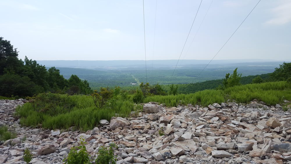
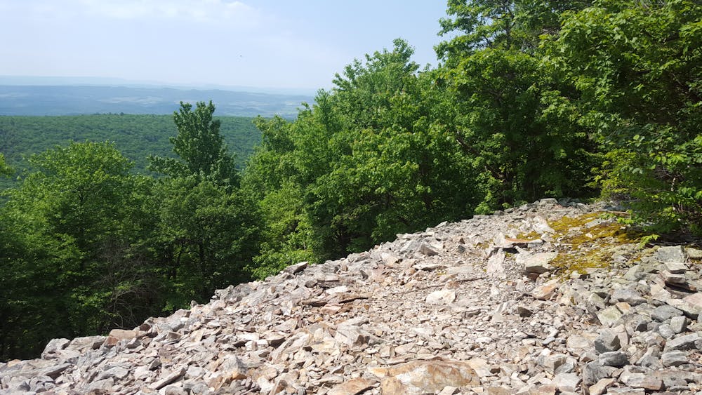
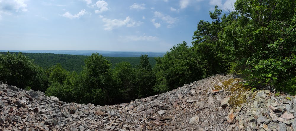
The remainder of the segment traverses a long ridge, frequently offering views to the valleys below. Though relatively flat, the rocks provide an incredibly challenging hike that will demand your full attention. Along the way, several trails connect the ridge to the valley with steep, direct routes up the side of the mountain.
As you near the end of the ridge, you'll pass a popular area among day hikers. Paired with the MST, Indian Steps Trail and Pump Station Road make for an excellent ~4 mile hike that passes the site of an old fire tower along the way.
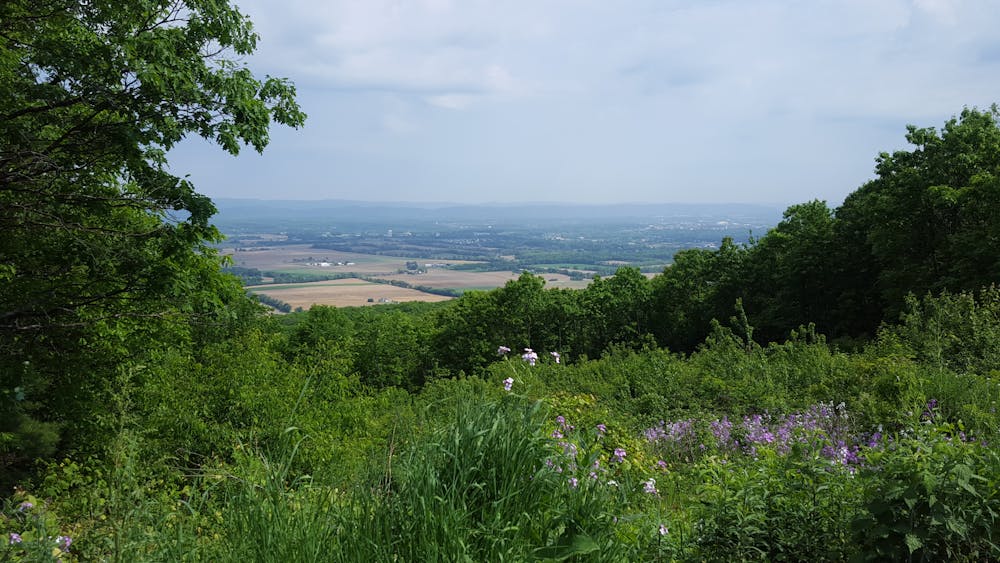
The northern terminus for this segment lies at PA-26, otherwise known as the Jo Hays Vista. This incredible overlook is a popular lunch spot for locals and excellent opportunity to relax before continuing along the trail. If you need to resupply on water, the next segment of trail quickly descends into the valley, where seasonal springs are abundant.
Difficulty
Difficult
Hiking trails where obstacles such as rocks or roots are prevalent. Some obstacles can require care to step over or around. At times, the trail can be worn and eroded. The grade of the trail is generally quite steep, and can often lead to strenuous hiking.
High Exposure

Some trail sections have exposed ledges or steep ascents/descents where falling could cause serious injury.
Remoteness

Away from help but easily accessed.
Best time to visit
Features
- Wildlife
- Historical
- Picturesque
- Summit Hike
- Dog friendly
- Wild flowers
- Water features
- Family friendly
- Forestry or heavy vegetation