Mount Davis Loop
An approachable loop hike near Pennsylvania's High Point
Hiking Moderate
- Distance
- 8.7 km
- Ascent
- 256 m
- Descent
- 256 m
- Duration
- 2-3 hrs
- Low Point
- 768 m
- High Point
- 978 m
- Gradient
- 7˚

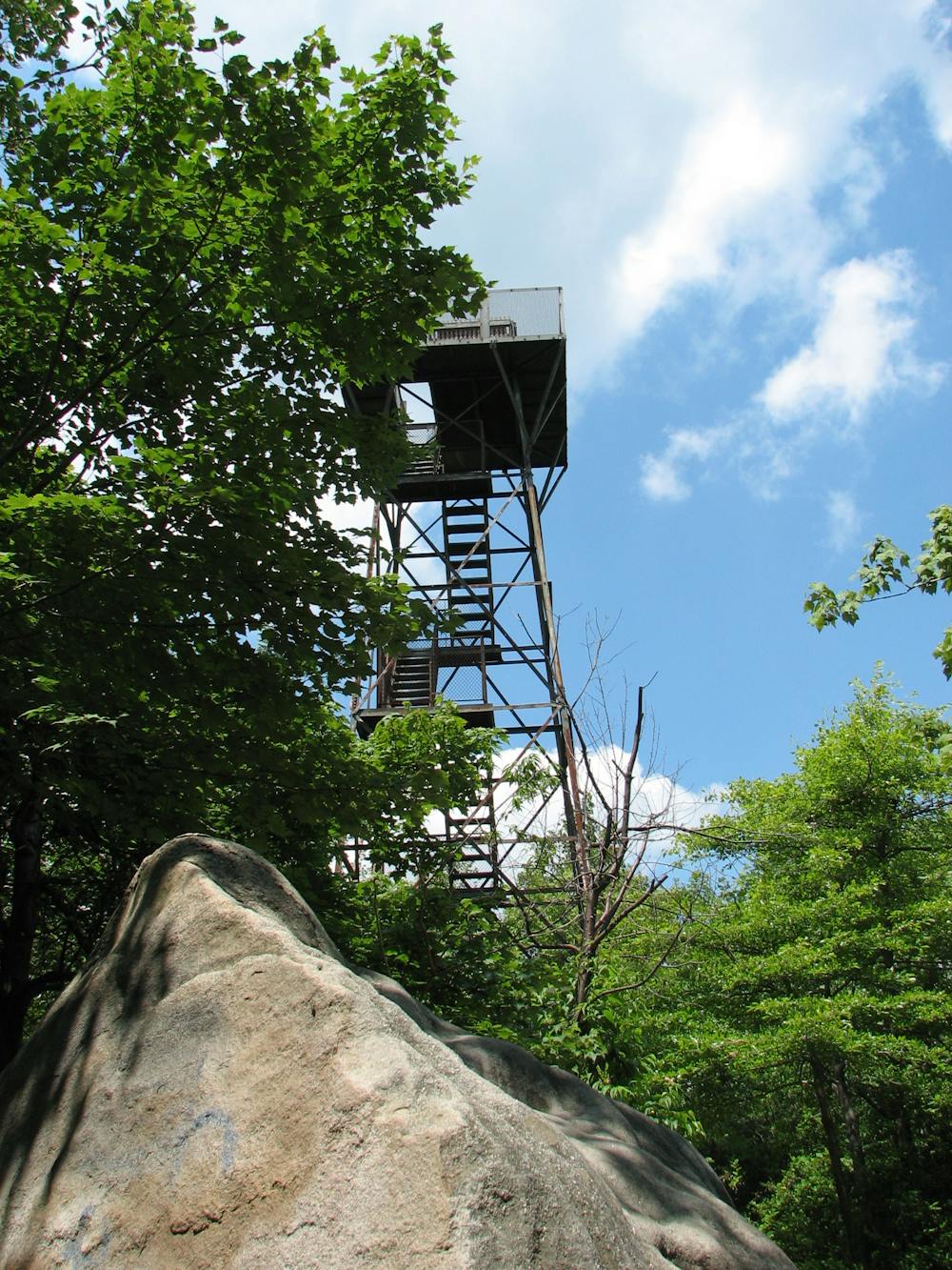
The 3,213-foot top of Mount Davis, the highest point in Pennsylvania, is easily-accessible by car and a short walk to a lookout tower. But for a longer hike in the area, tackle this loop instead.
- •
- •
Description
This 5.4-mile loop follows a series of trails and a few sections of old road grade on the mellow top of Mount Davis. The mountain itself is long and mostly flat--it extends a long ways south into Maryland. As a result, you'll have to climb an observation deck on top of the mountain to get a view.
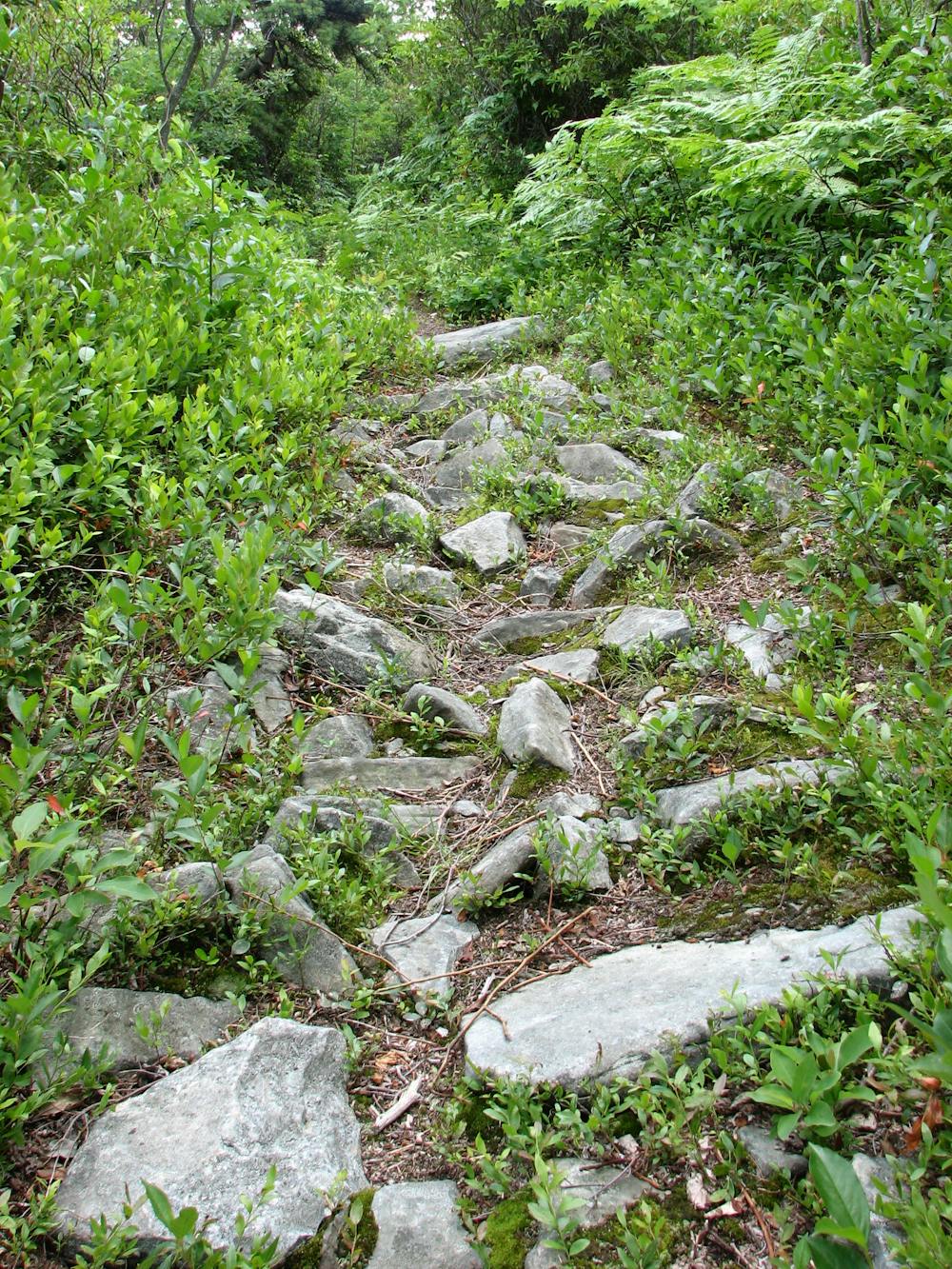
This loop follows the Shelter Rocks Trail, Shelter Rock Road, Timberslide Trail, and the Tub Mill Trail. The trails are well-blazed, and some cool rock formations provide interesting stops along the trail.
Difficulty
Moderate
Hiking along trails with some uneven terrain and small hills. Small rocks and roots may be present.