3 routes · Hiking

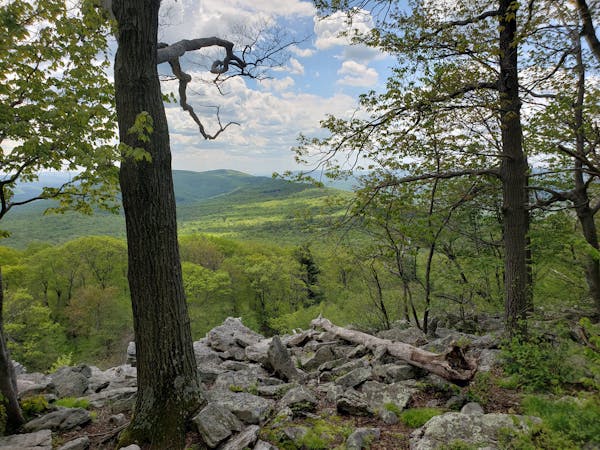
The southern portion of the of the Standing Stone Trail.
Hiking Severe

Located deep in the Appalachian Mountains lies this incredible, lesser known 80-mile hiking trail. Commonly referred to as the SST, the Standing Stone Trail provides an incredible thru-hike with endless options for day hikes to rocky vistas and unique rock formations. The trail is also part of the 1,800-mile long Great Eastern Trail, an alternative route to the Appalachian Trail. When completed, the route will include the Pinhoti, Cumberland, Tuscarora, and Allegheny Trails - among many others.
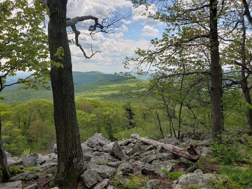
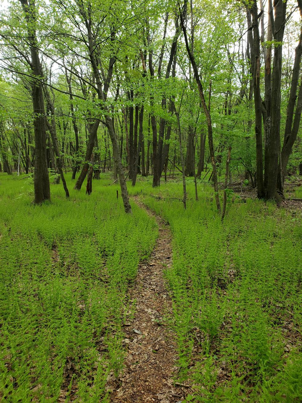
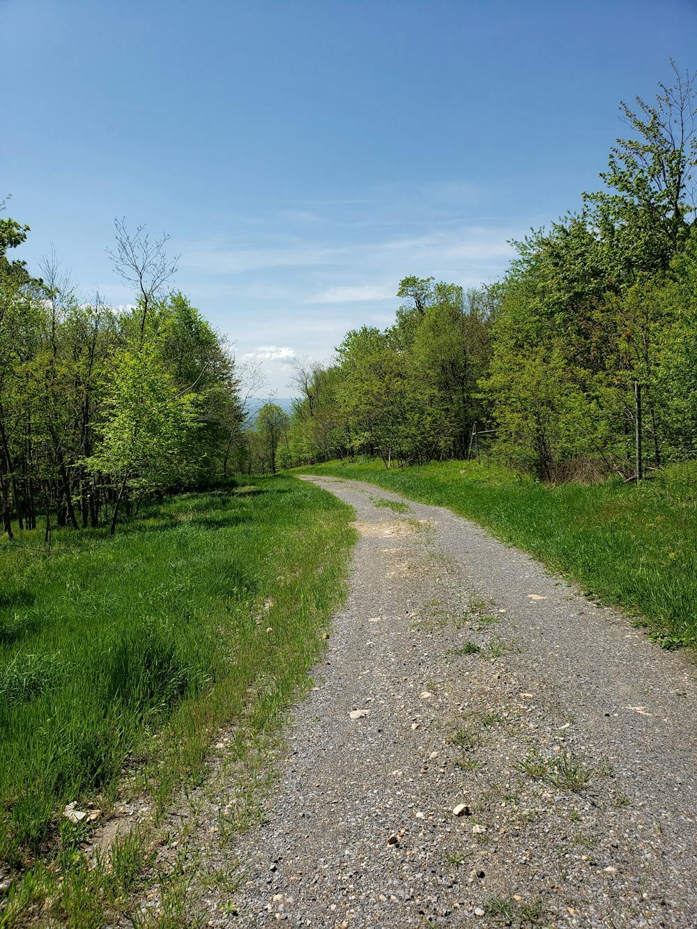
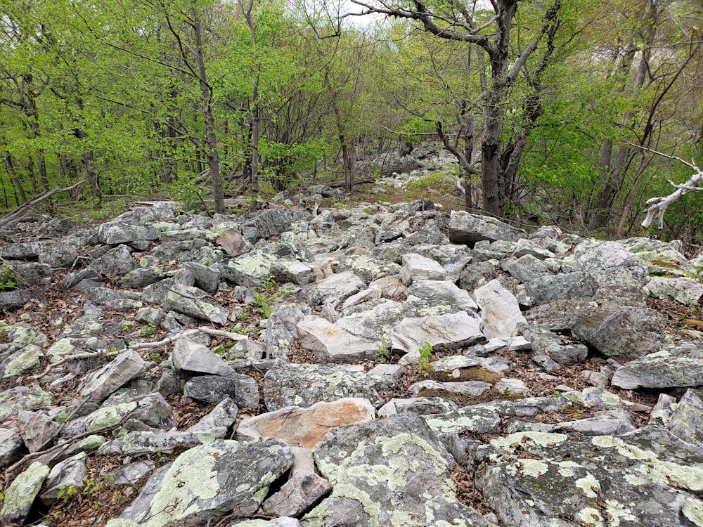
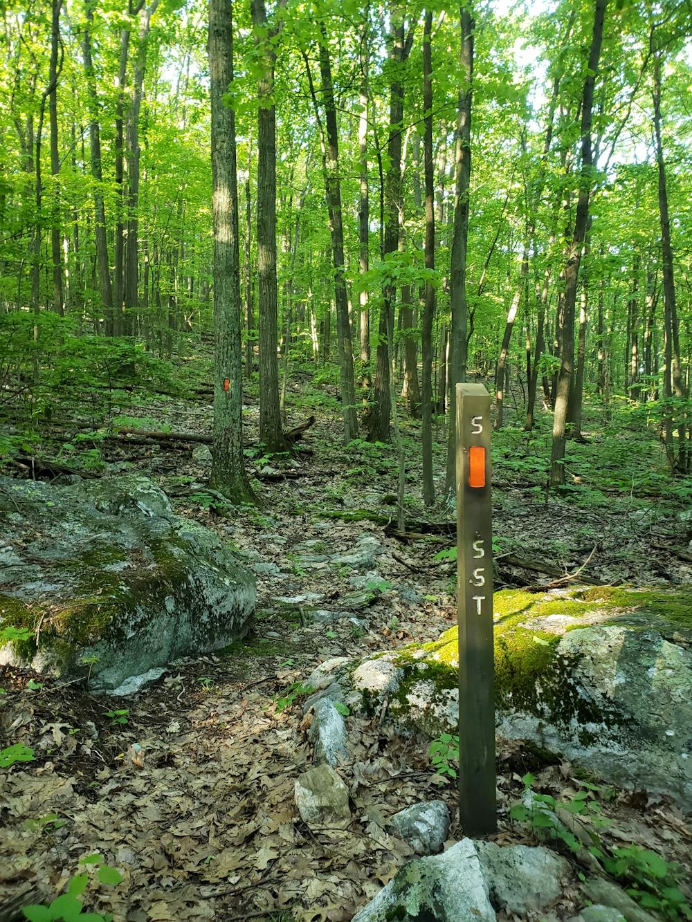
According to www.standingstonetrail.org, "the valley to the west of the SST is the historic Native American trail called the Standing Stone Path, which connected Fort Littleton with Fort Standing Stone, today called Huntingdon." Over the last two centuries, the area has been utilized by countless coal mining and logging operations, the remnants of which can be seen along the way.
The southern terminus of the trail lies within Cowan's Gap State Park. The Tuscarora Trail, another long-distance hiking trail, passes through and creates endless options for longer thru-hikes. A climb to the ridge begins the hike.
The SST is best defined by a series of long ridgetop traverses, balanced with several steep climbs and descents between valleys. The first ridge between Cowan's Gap and US-322 is lined with a few vistas and an area of historic interest known as Vanderbilt's Folly.
Ahead, the trail winds into a valley where it passes under the Pennsylvania Turnpike. Winding through a small stretch of private property, you're again welcomed with a long steady climb onto the next ridge. Monument Rock provides an excellent vista along this ridge and can alternatively be reached by way of a short hike up Ramsey Path.
As the trail begins to leave the ridge, it switchbacks it's way to Meadow Gap where you are faced with the only notable road walk on the hike. The entire trail is very well marked with orange blazes, and this six-mile road segment is no different. Ahead, the trail passes through the first resupply town, Three Springs. A small corner store, as well as a couple of quaint restaurants can be found as you pass through.
Continuing north on the SST, the trail follows the road through town before turning right and beginning the longest sustained climb along this segment. Atop the ridge, you will find some short stretches of singletrack, but much of this segment follows former gravel logging roads.
As the trail approaches Butler Knob, it spirals around the summit and leads to an excellent rocky vista to the south south. Portions of the trail can become disorienting, so pay extra attention to the orange blazes. Jacks Mountain Fire Tower is also located atop the summit and an excellent destination for a shorter hike. It is accessible from trailheads on Jacks Tower Road or Jacks Mountain Road, and camping opportunities are abundant near the summit.
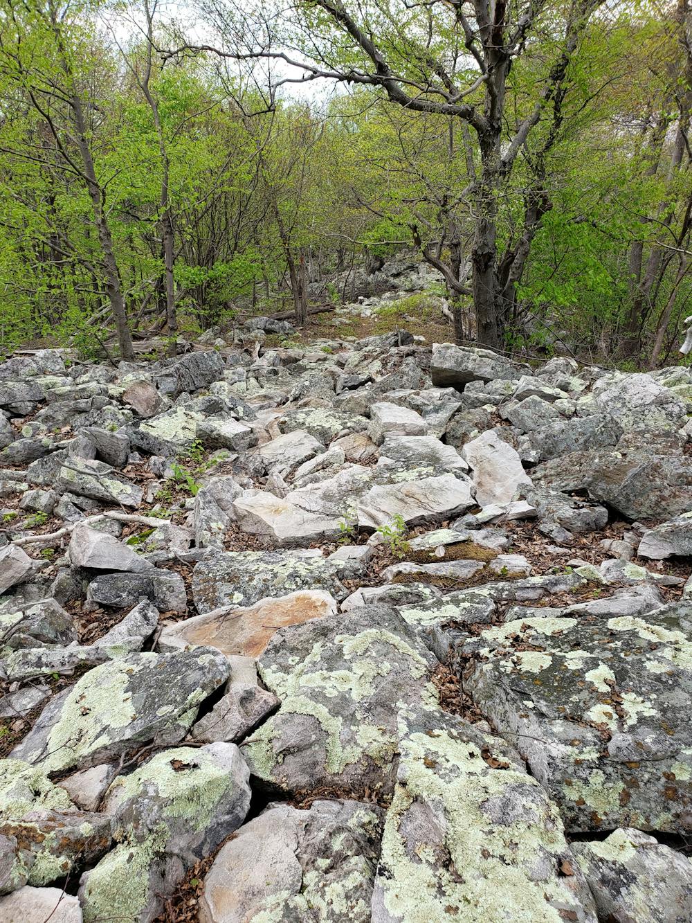
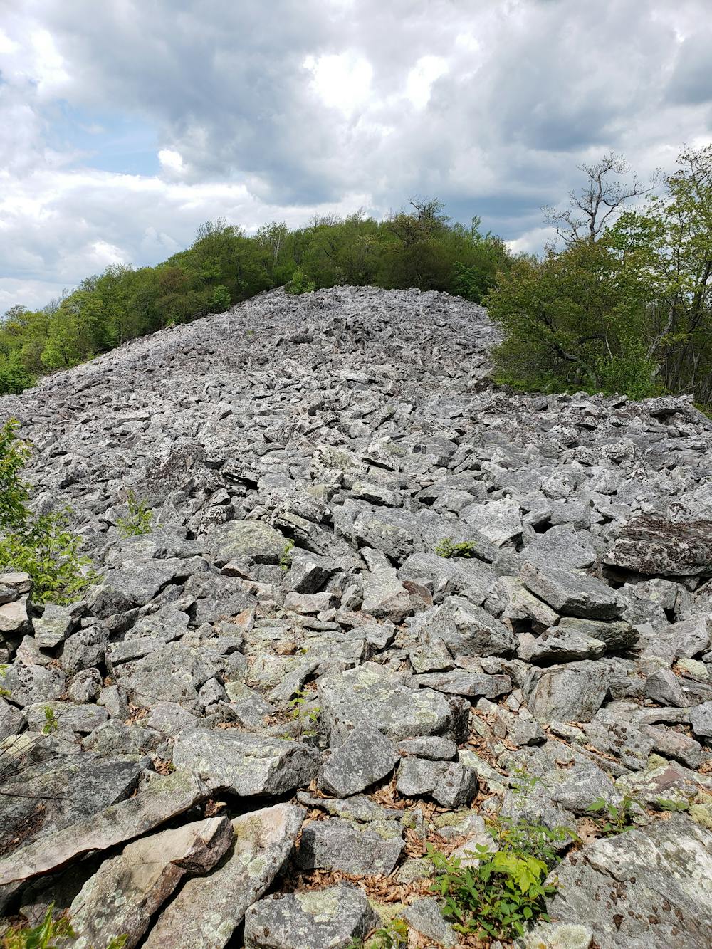
"The Throne Room", which lies ahead, is "considered by many to be one of the finest views in the state" according to standingstonetrail.org. As the trail traverses the exposed ridge, be particularly mindful of your footing. Rock slabs have been moved and fixed to create a passable route, but many of them are still prone to shift when stepped on.
The final portion of this segment passes through State Game Lands 71, following more logging roads to Windy Vista. From here, the trail descends towards Mapleton. This is the second opportunity to resupply and a little more than halfway into the trail. Parking is available in town, at a park across the river, or at the 1000 steps trailhead due east on US-22.
Sources: https://www.standingstonetrail.org
Severe
Hiking challenging trails where simple scrambling, with the occasional use of the hands, is a distinct possibility. The trails are often filled with all manner of obstacles both small and large, and the hills are very steep. Obstacles and challenges are often unexpected and can be unpredictable.

3 routes · Hiking