1 m away
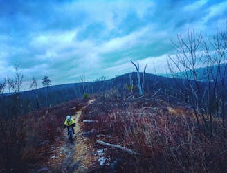
Tussey Mountain Loop
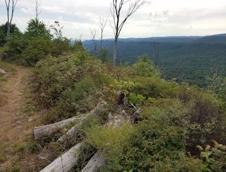
A classic ride along Tussey Mountain that will leave you grinning from ear to ear.
Difficult Mountain Biking
- Distance
- 17 km
- Ascent
- 341 m
- Descent
- 341 m
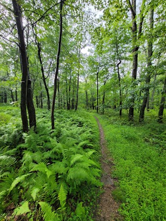
A gravel climb to a techy singletrack descent down one of Rothrock's most notorious trails.
Mountain Biking Difficult

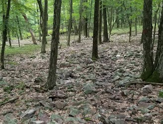
Old Laurel Run is one of the rowdiest, chunkiest, and most acclaimed downhill rides from Galbraith Gap in Rothrock. It's a perfect option for a shuttle and a great trail to session over and over, whether you're working on your skills or dialing in the suspension on your ride. It sees less foot traffic than many of the other surrounding trails and it's short enough that you could squeeze it in before or after work.
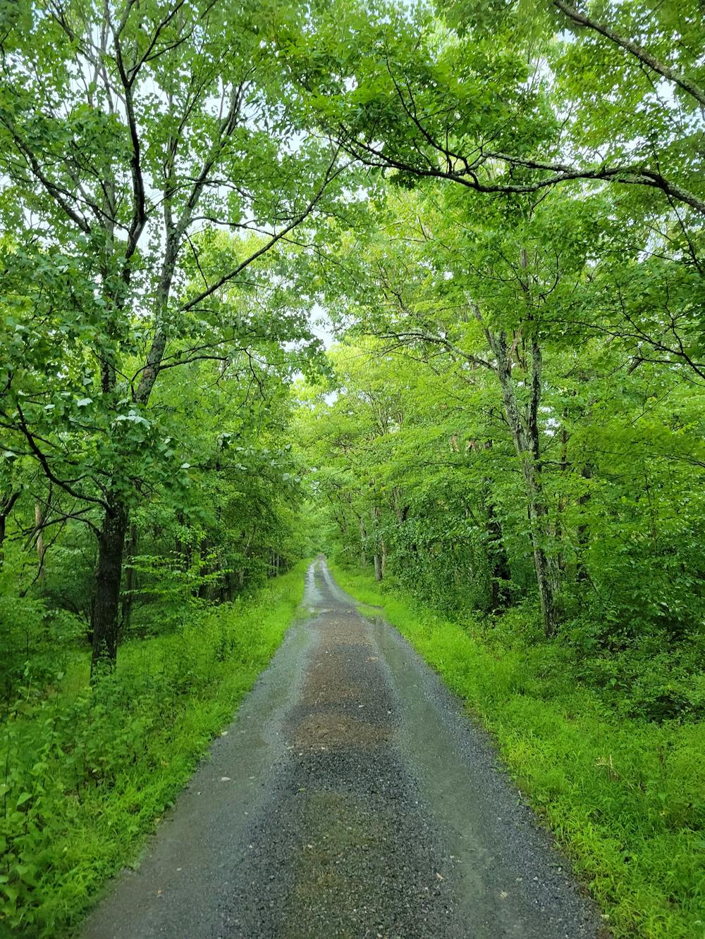
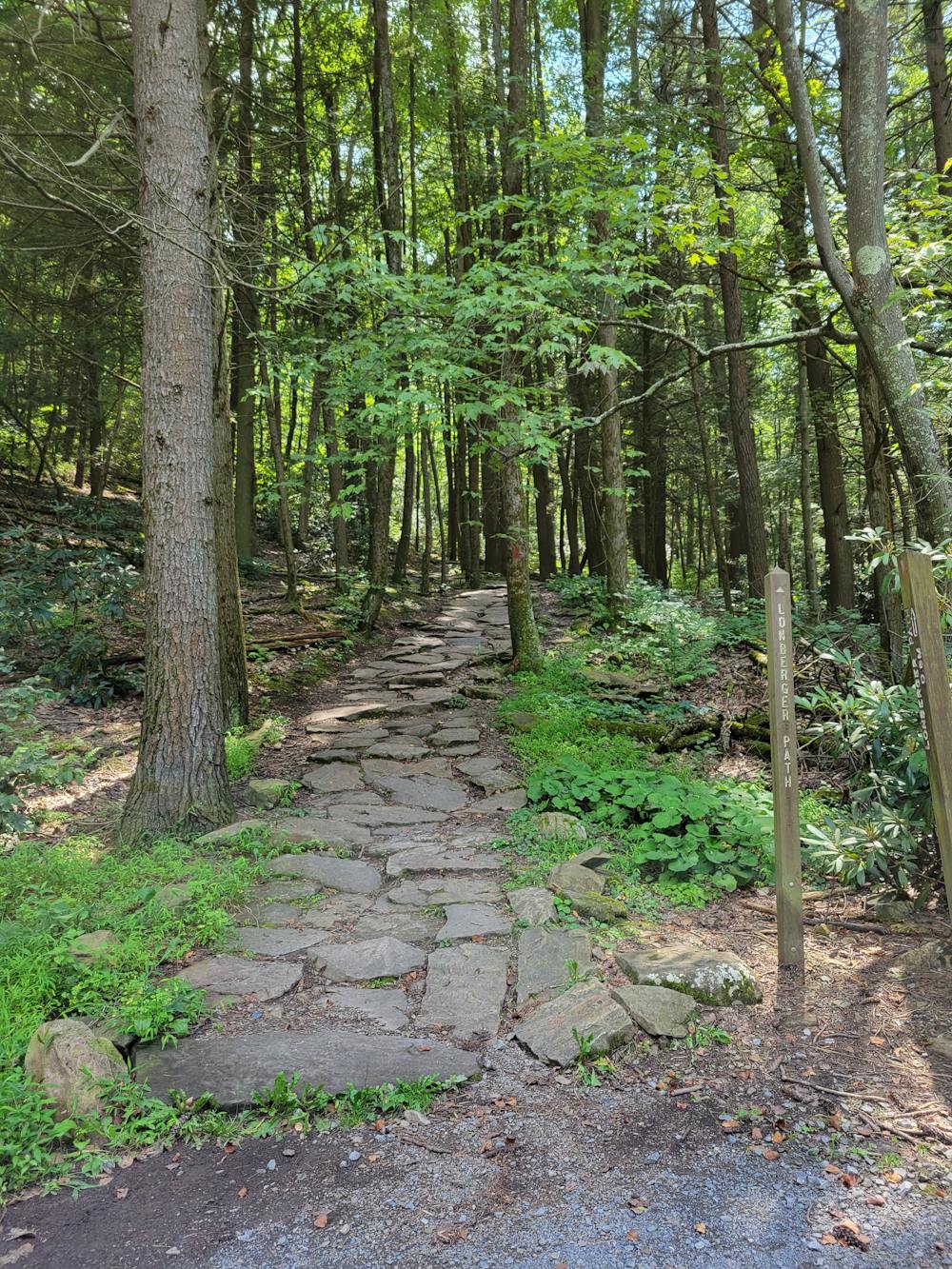
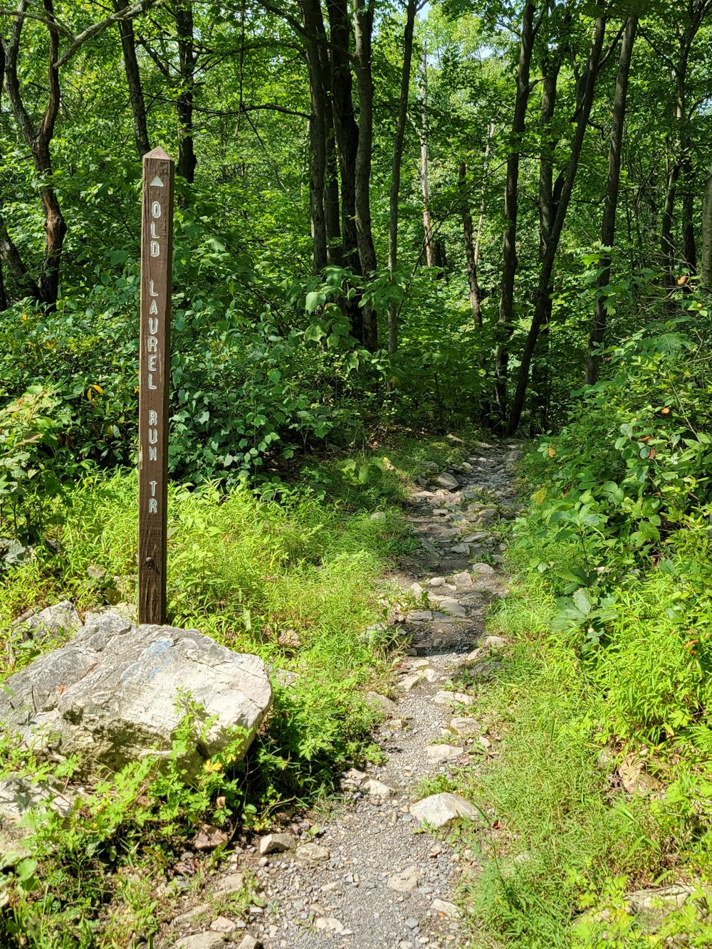
To get to the top of the descent, climb Laurel Run Road from Galbraith Gap until you get to Little Flat Tower Road. Take a left and when the road is gated, there is a turn-around for vehicles and parking for several vehicles. Your ride begins next to the gate and the trail is well-marked - just remember to unlock your suspension before you begin the gnarly, rocky descent down! When you reach the bottom, take a left to pedal back up and start again, or keep right and follow Three Bridges to Lonberger Path for a few extra minutes of downhill singletrack back to your car.
If you have yet to visit, consider an out-and-back on gravel to the historic Fire Tower, less than a mile round-trip on packed gravel. One of the 4 maintained fire towers in the area, the steel structure played an important role in fire prevention into the 1950s, but is now closed to the public. Dense stands of spruce and hemlock cover the mountaintop and provide a unique habitat for an endless selection of unique flowers and fungi.
Difficult
Mostly stable trail tread with some variability featuring larger and more unavoidable obstacles that may include, but not be limited to: bigger stones, roots, steps, and narrow curves. Compared to lower intermediate, technical difficulty is more advanced and grades of slopes are steeper. Ideal for upper intermediate riders.

The trail contains some obstacles such as outcroppings and rock which could cause injury.
Away from help but easily accessed.
1 m away
A classic ride along Tussey Mountain that will leave you grinning from ear to ear.
Difficult Mountain Biking
38 m away
Rocks, ridges and rhododendrons -- this route is classic central Pennsylvania.
Severe Mountain Biking
5.4 km away
A classic way to explore Shingletown Gap with epic views and a hefty serving of rocks.
Difficult Mountain Biking
6 routes · Mountain Biking