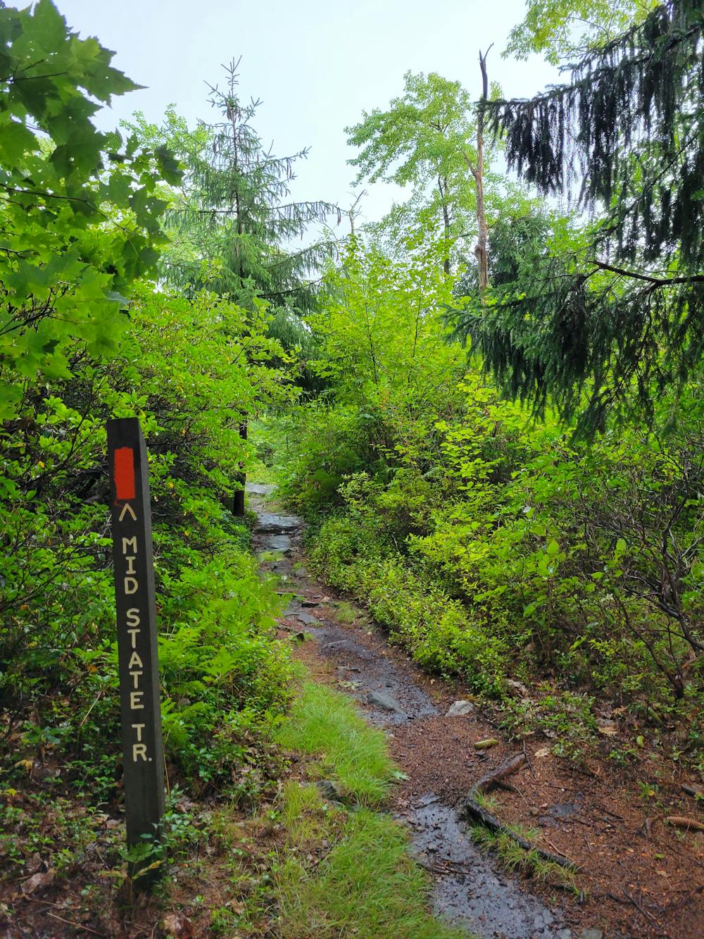
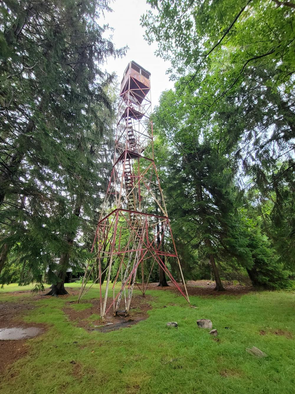
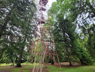
Mapped clockwise, the run begins with one of the steepest ascents in Rothrock, the Spruce Gap Trail. Native red spruce give the trail a dark - almost eerie - ambiance, and it ends at the Mid-State Trail near Little Flat Fire Tower. Into the 50s, the tower played an important role in fire prevention, though modern technology has reduced its usefulness over the past several decades. The staircase to the top is closed to the public, but the tower is still beautiful even if viewed from below. If you'd rather enjoy an easy hike to the tower, consider this route instead.
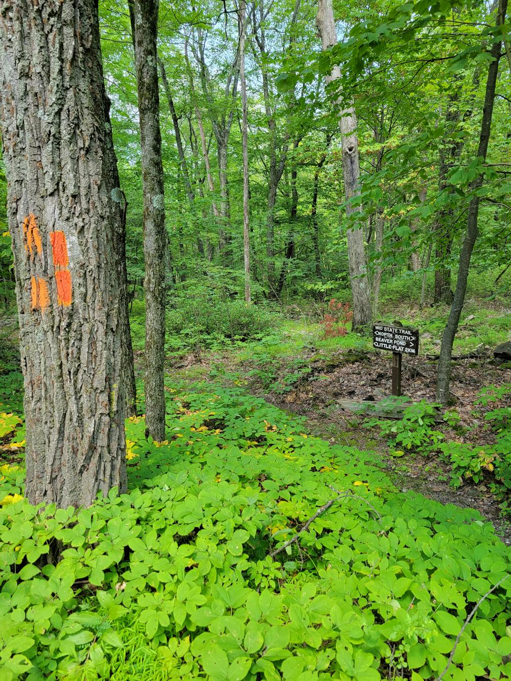
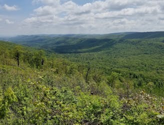
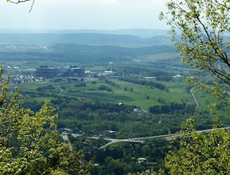
Continuing on, you'll follow the Mid-State Trail towards Roman Tower, a beautiful vista looking north towards Mount Nittany. The views tend to be better in the cooler months once most of the trees drop their leaves, but the summer wildflowers, ferns, and fungi make it an excellent place to run year-round.
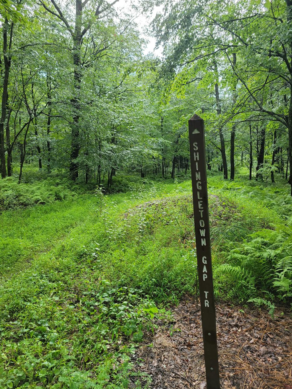
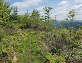
Leaving the Roman Tower Vista, you'll follow the Charcoal Flats Trail through Shingletown Gap for a relaxing and runnable trail leading back to Laurel Run Road. A quick climb up Shingletown Gap Trail leads into a steep descent down Old Laurel Run, then you can retrace your steps past Spruce Gap and back to Galbraith Gap.
The trailhead is a gravel parking area near the Tussey Mountain Ski Area with enough space for 20 cars, plus a turnaround for larger vehicles. Vault toilets are available year-round, though there is no potable water. You could also park at the bottom of Lonberger Path or Laurel Run to begin this loop.