6.4 km away
Rothrock Challenge 25k
An old-school 25k trail race near State College over technical terrain laden with rocks.
Difficult Trail Running
- Distance
- 26 km
- Ascent
- 1.1 km
- Descent
- 1.1 km
A comprehensive 5-mile tour of Mount Nittany with 6 prominent overlooks.
Trail Running Moderate

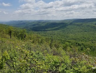
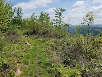
Overlooking State College from the east, Mount Nittany is one of the best places to head for a trail run near town. 6 vistas are packed into this sub-5 mile loop, and there is no better option around to see this much in such a short amount of time. With views reaching as far as Penn State to the west and Tussey Mountain to the south, this run is considered moderately difficult, though the trail brochure considers the 1000-foot climb a healthy challenge with a "diverse assortment of trees, flowers, and grown cover that is inspiring, and, in some cases, even tasty."
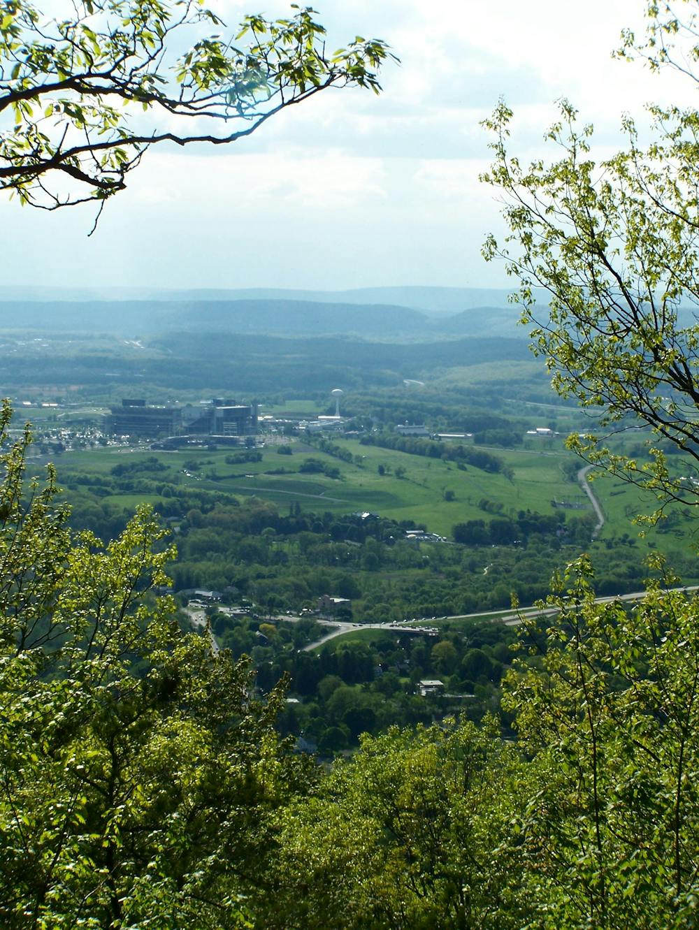
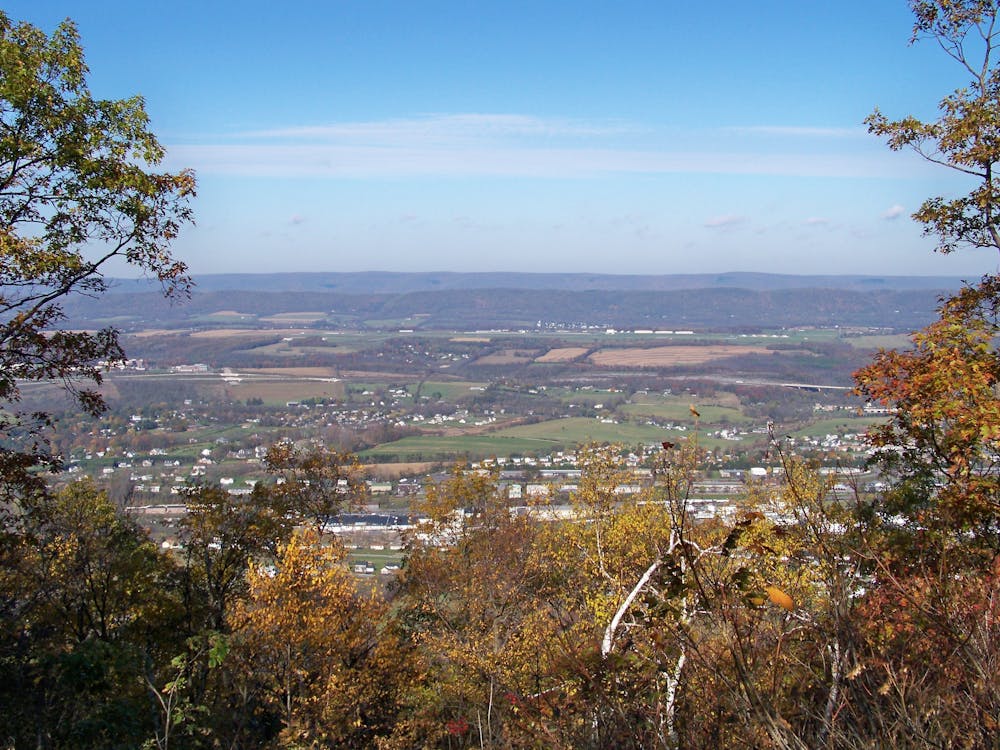
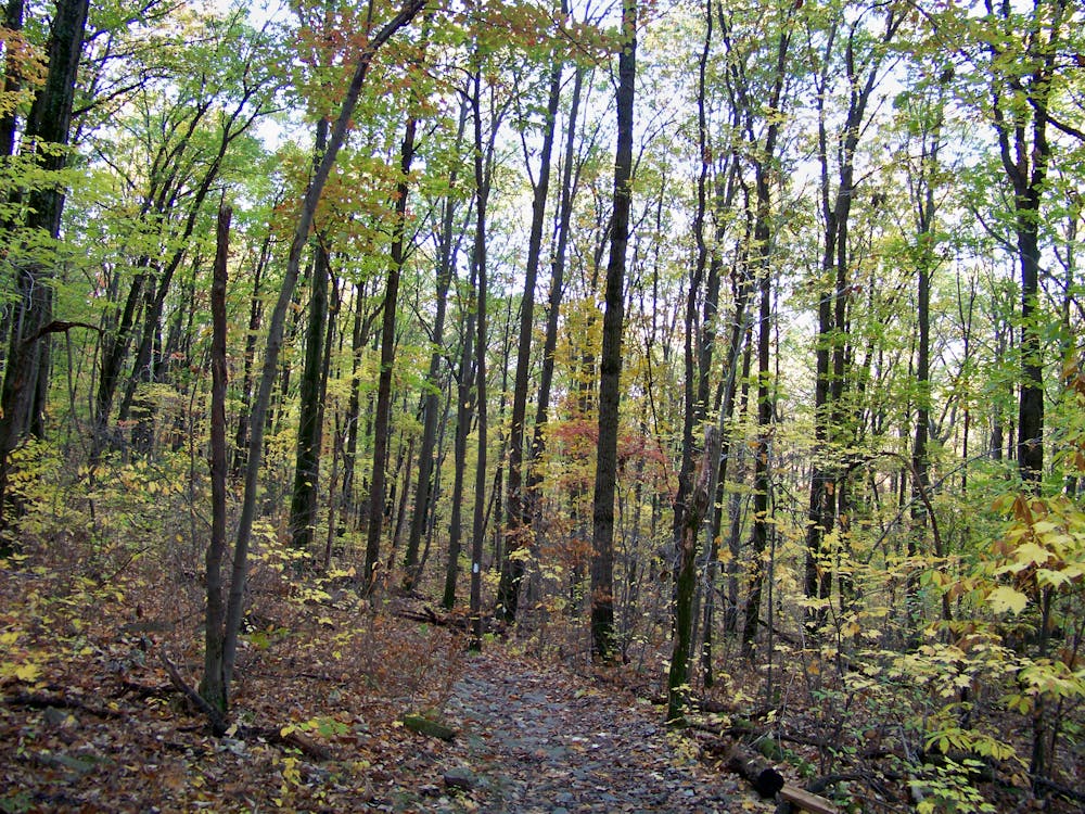
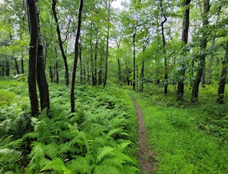
In contrast to many of the rocky and multi-use trails central PA is known for, Mount Nittany is one of the few areas only open to foot traffic - making it a desirable area for hikers and trail runners. Accessible year-round, loose sand and shale make up most of the trail, and there is no shortage of wildflowers and unique fungi that you may see through the spring and summer. You may have to toss on a few extra layers to brave the cold, but winter offers views reaching much further once the trees have dropped their leaves. Deer and other wildlife can also be spotted along the trail - no matter the season.
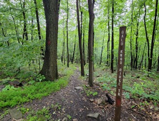
To reach the trailhead, search "Mount Nittany Trailhead" on Google or Apple Maps, and either will lead you straight there. A kiosk with printed maps is available, and if you're looking to change it up, the white-blazed trail is an excellent alternative to this run - though shorter in mileage. Every trail on the mountain is blazed, and the Mount Nittany Conservancy installed signs at major intersections, making it hard to get lost. You can also download or print a high-resolution version of the map here.
Moderate

The trail contains some obstacles such as outcroppings and rock which could cause injury.
Away from help but easily accessed.
6.4 km away
An old-school 25k trail race near State College over technical terrain laden with rocks.
Difficult Trail Running
6.4 km away
A sub-7-mile loop perfect for exploring Shingletown Gap.
Difficult Trail Running
6.8 km away
A local-favorite that traverses a ridgeline loaded with epic views.
Difficult Trail Running
6.8 km away
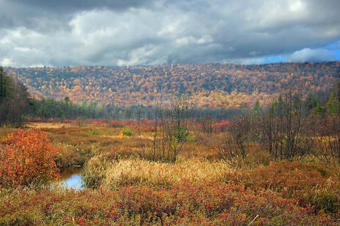
A spin on the classic Tussey Mountain Loop that includes John Wert Path and Bear Meadows, one of the largest freshwater bogs in the east coast.
Difficult Trail Running
6.8 km away
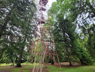
A great long run with steep climbs linking the Mid-State Trail, Shingletown Gap, and the Little Flat Fire Tower.
Difficult Trail Running
9.2 km away
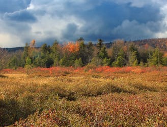
An easier trail run around one of the largest freshwater bogs in the eastern US.
Moderate Trail Running
10 routes · Trail Running
6 routes · Trail Running