195 m away
Stone Valley Vista Loop
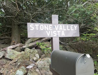
A classic trail run from Greenwood Furnace with spectacular views from Stone Valley Vista.
Moderate Trail Running
- Distance
- 7.2 km
- Ascent
- 289 m
- Descent
- 289 m
A link from the Standing Stone Trail to the Mid-State Trail.
Trail Running Difficult

Located deep in the Appalachian Mountains lies this incredible, lesser known 80-mile hiking trail. Commonly referred to as the SST, the Standing Stone Trail provides an incredible thru-hike or run with endless options for day runs to rocky vistas and unique rock formations. The trail is also part of the 1,800-mile long Great Eastern Trail, an alternative route to the Appalachian Trail. When completed, the route will include the Pinhoti, Cumberland, Tuscarora, and Allegheny Trails - among many others.
According to www.standingstonetrail.org, "the valley to the west of the SST is the historic Native American trail called the Standing Stone Path, which connected Fort Littleton with Fort Standing Stone, today called Huntingdon." Over the last two centuries, the area has been utilized by countless coal mining and logging operations, the remnants of which can be seen along the way.
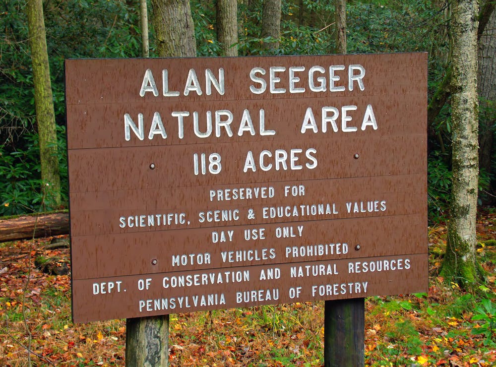
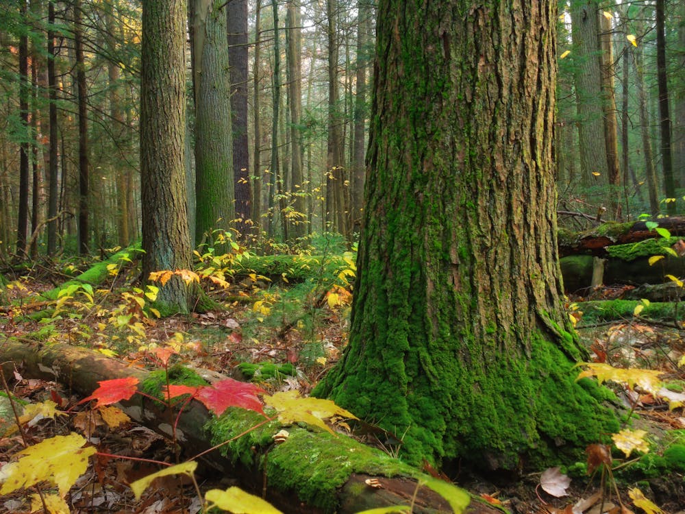
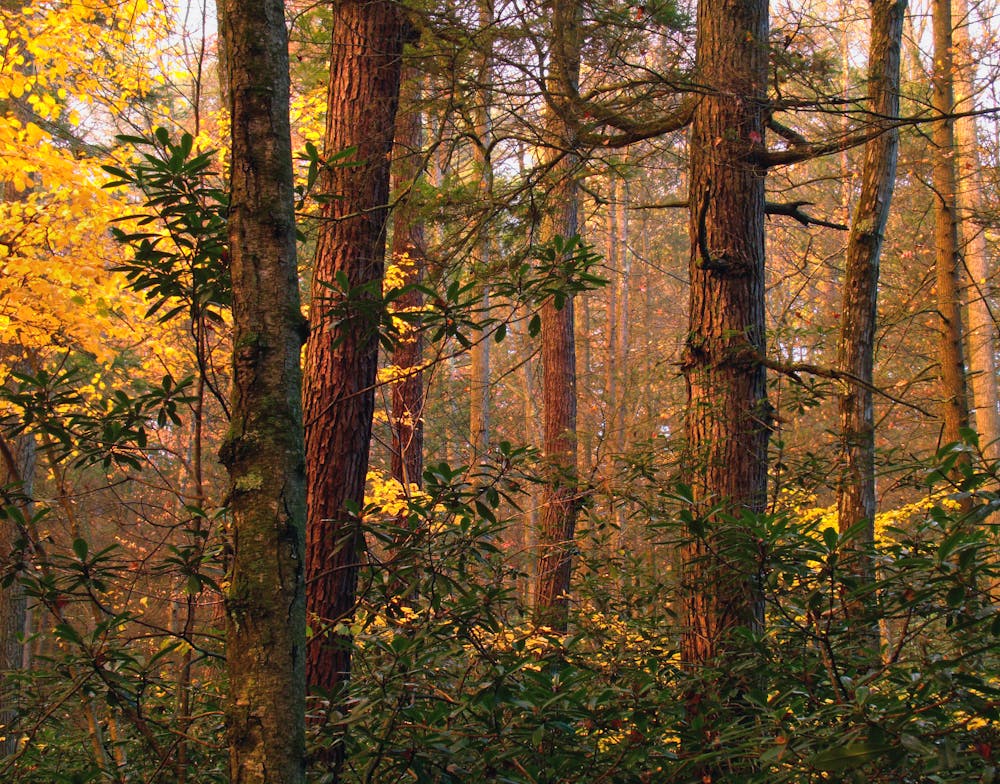
The Greenwood Spur connects the Standing Stone Trail to the 300+ mile long Mid State Trail by way of Alan Seeger Natural Area. If thru-running, take the opportunity to resupply at concession stand within Greenwood Furnace State Park before heading north. After passing the Greenwood fire tower, the trail quickly dips into the Alan Seeger Natural Area - an area coveted for its ancient hemlocks, beautiful rhododendron, and pristine mountain streams.
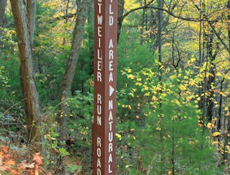
The Greenwood Spur Trail terminates at the Mid State Trail in Detweiler Run Natural Area. Take a left on the MST to access the trailhead at the junction of Bear Meadows Road and Detweiler Run Road. A State Forest campsite lies just below the switchback on the road and can be reserved here.
Sources: https://www.standingstonetrail.org
Difficult

The trail contains some obstacles such as outcroppings and rock which could cause injury.
Away from help but easily accessed.
195 m away
A classic trail run from Greenwood Furnace with spectacular views from Stone Valley Vista.
Moderate Trail Running
7.4 km away
A quiet backcountry run in Rothrock that originates at a large campsite on Bear Meadows Road.
Difficult Trail Running
9.9 km away
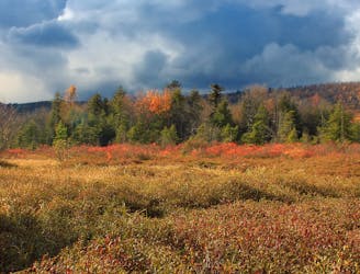
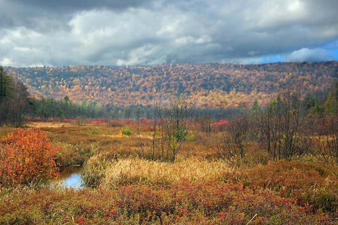
An easier trail run around one of the largest freshwater bogs in the eastern US.
Moderate Trail Running
10 routes · Trail Running