10 routes · Hiking
A spur off of the Foothills Trail to a stunning section of the Eastatoe Gorge known as "The Narrows."
Hiking Moderate

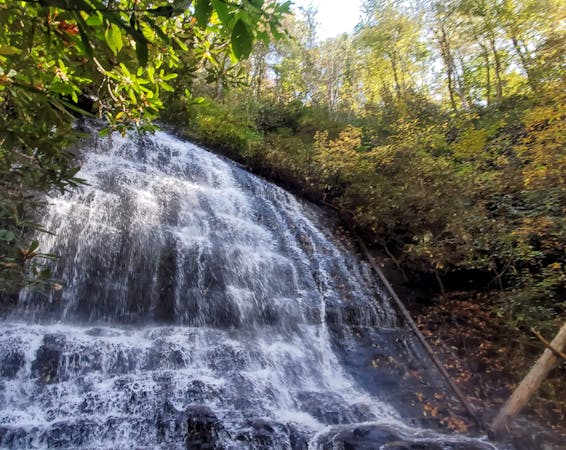
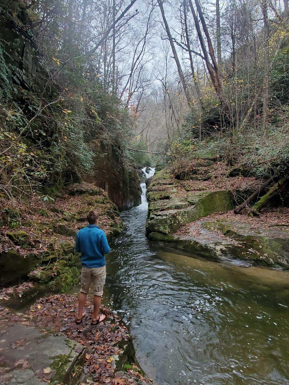
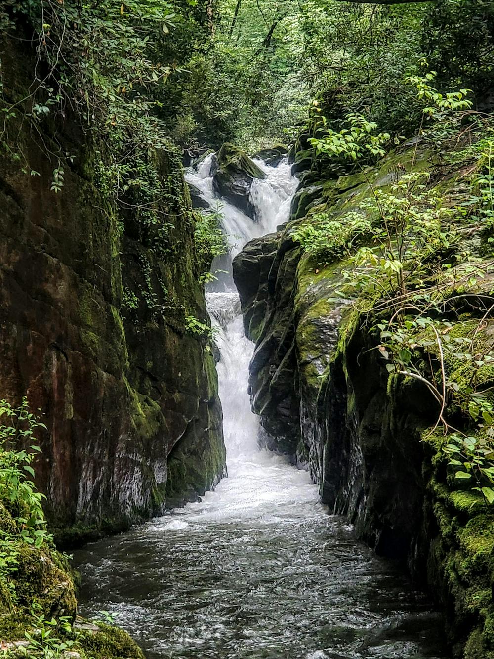
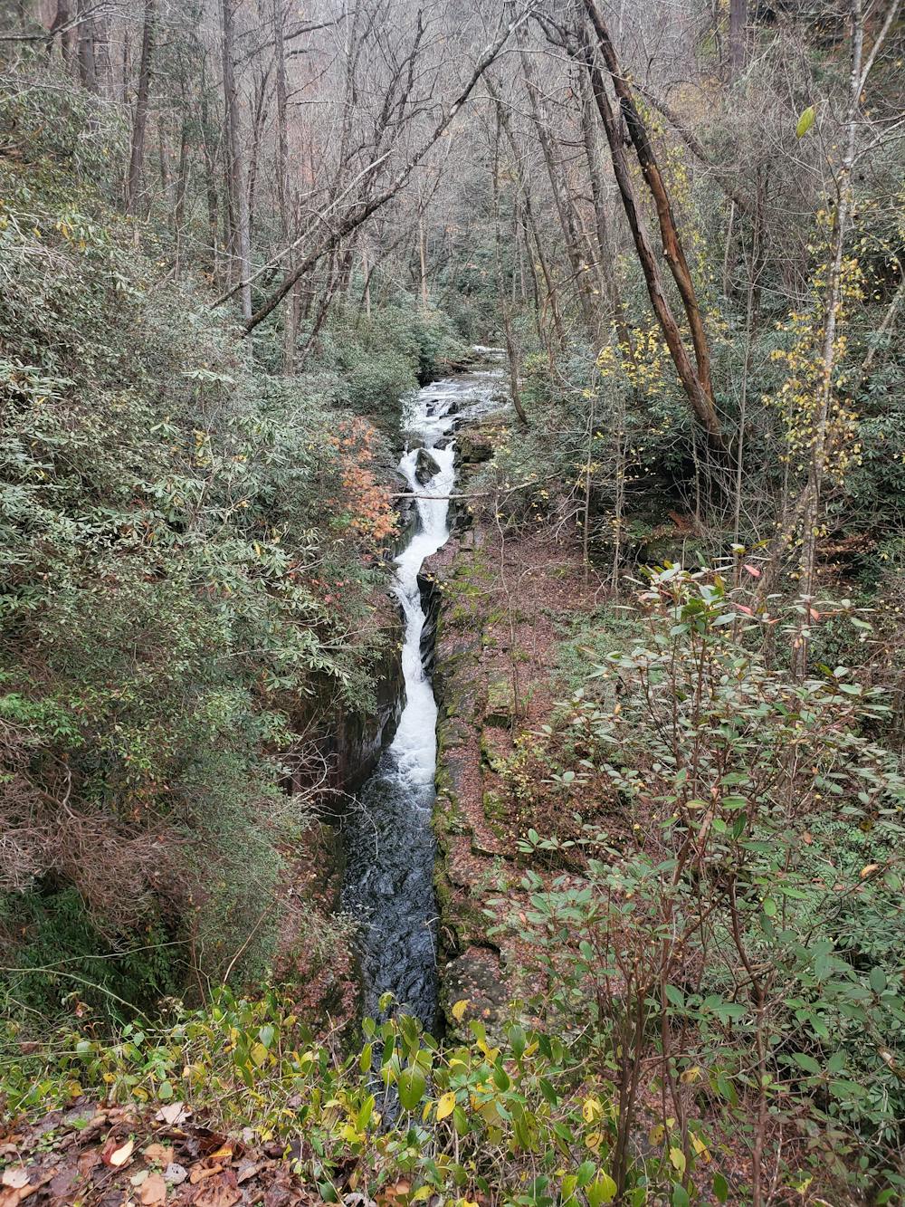
If waterfalls were ranked on a scale of 1 - 10, with 10 being the best, The Narrows on Eastatoe Creek would be a solid 12 - and for more reasons than one. Just 30 minutes from Brevard, the trail follows mellow logging roads before descending briefly to an observation deck with a vantage of one of South Carolina's most spectacular waterfalls known as "The Narrows." Wildflowers line every step of the trail, and wild edibles are abundant if you enjoy foraging. It's an excellent hike no matter the time of year, perfect for the family, and several quiet swimming holes beneath the falls make summer a prime option.
The trailhead is located off of Horsepasture Road, just past the large trailhead for the Foothills Trail. Look for a locked forest service gate on the left side of the road with enough parking for 5 or so vehicles. Just be sure not to block the gate. No water or restrooms are available nearby, though there is plenty of water on the trail if you have a treatment/filtration system.
If you want to turn this hike into an overnight trip, there are 3 unimproved campsites not far from the narrows. A self check-in kiosk near the parking area lets you know which sites are available.
Moderate
Hiking along trails with some uneven terrain and small hills. Small rocks and roots may be present.

The trail contains some obstacles such as outcroppings and rock which could cause injury.
Away from help but easily accessed.
10 routes · Hiking