
58 routes · Hiking
A shorter AT segment best known for its summit of Big Bald.
Also in North Carolina, United States of America
Hiking Difficult

This segment of the Appalachian Trail is just a short drive away from Asheville, NC and a great pit stop for anyone traveling through the area.
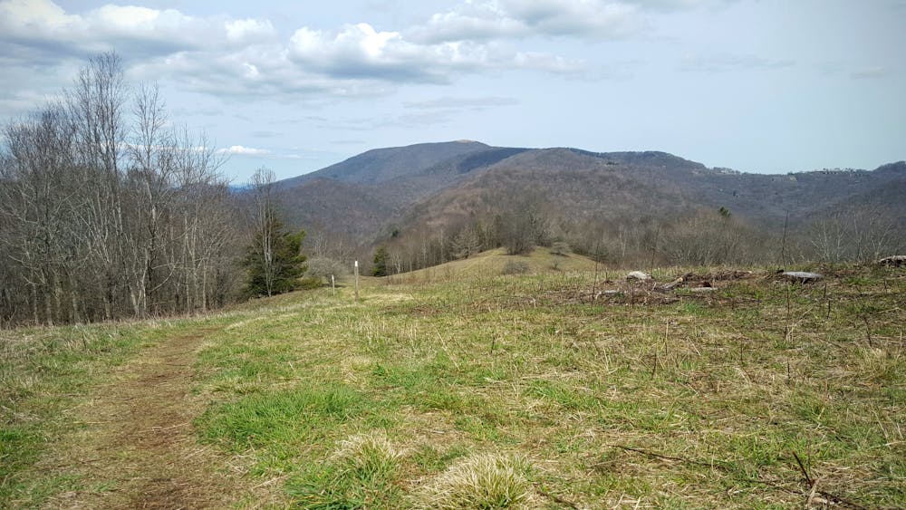
Starting from Sam's Gap, the trail begins with a steep climb to get you warmed up. Less than 2 miles in, there is a clearing that serves as a great picnic spot for a short day hike.
There are multiple shuttle services that stop here. Some offer point to point section hike options, and others take thru-hikers into town for a resupply.
After a brief descent, the trail crosses a dirt road along private property and a shelter not long after. The main climb to Big Bald begins here. The shelter is a great camping opportunity and is often full during thru-hiker season. In the offseason, you would likely have it to yourself.
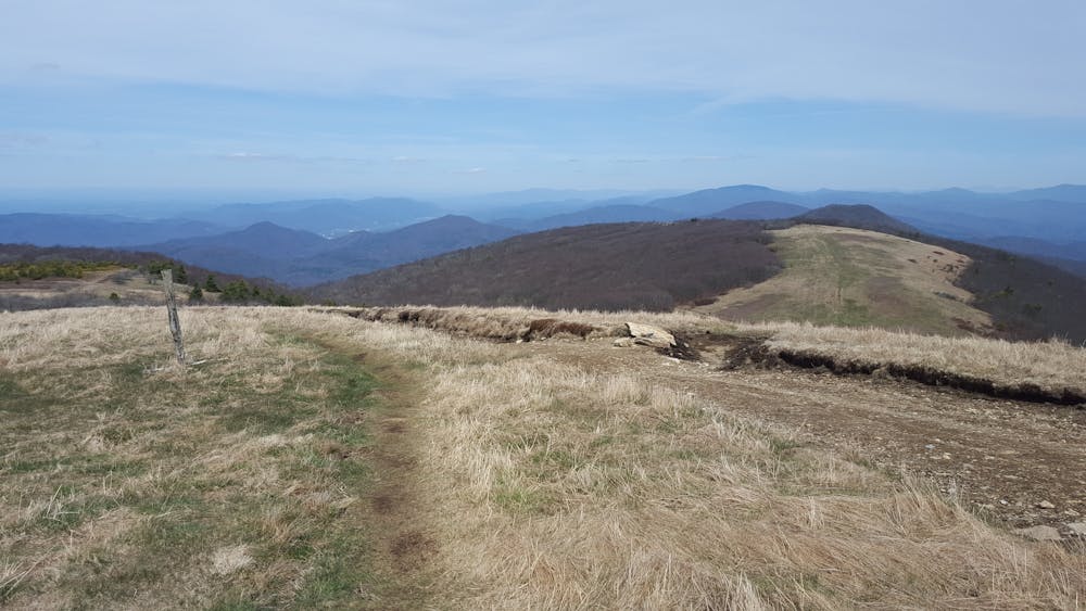
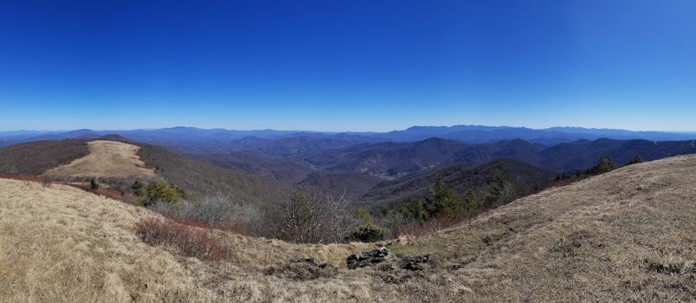
After a steep approach to the summit, you are rewarded with panoramic views of both North Carolina and Tennessee. A USGS survey marker denotes the summit of the bald. The strong winds make it a volatile place to camp, but many push their luck in order to get an unadulterated view of the stars.
While many turn around here for a 13-mile round trip day hike, the AT continues down to Little Bald just a few hundred feet below.
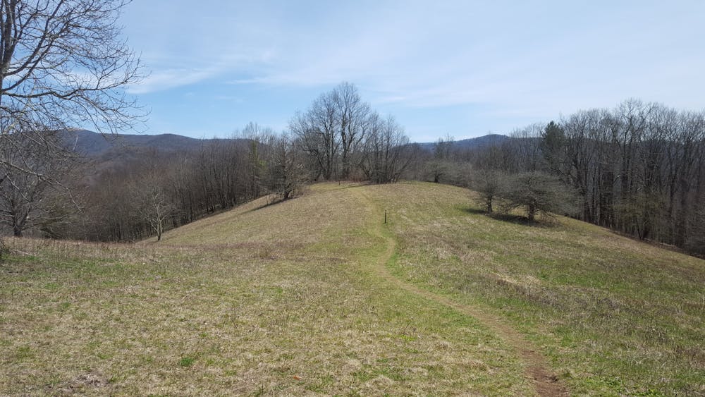
Following a few more miles, a small sign denotes an overlook just off the trail, a landmark known as High Rocks. Take a few minutes to take in the view before re-entering the "green tunnel" and heading to Nolichucky River.
Difficult
Hiking trails where obstacles such as rocks or roots are prevalent. Some obstacles can require care to step over or around. At times, the trail can be worn and eroded. The grade of the trail is generally quite steep, and can often lead to strenuous hiking.

The trail contains some obstacles such as outcroppings and rock which could cause injury.

Little chance of being seen or helped in case of an accident.
58 routes · Hiking