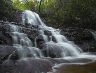
2.4 km away
Cataract Falls
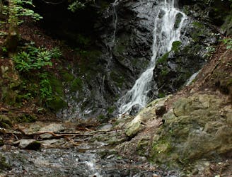
A quick family-friendly waterfall hike behind the Sugarlands Visitor Center.
Moderate Hiking
- Distance
- 471 m
- Ascent
- 2 m
- Descent
- 2 m
A mellow walk into Great Smokey Mountains National Park.
Hiking Easy

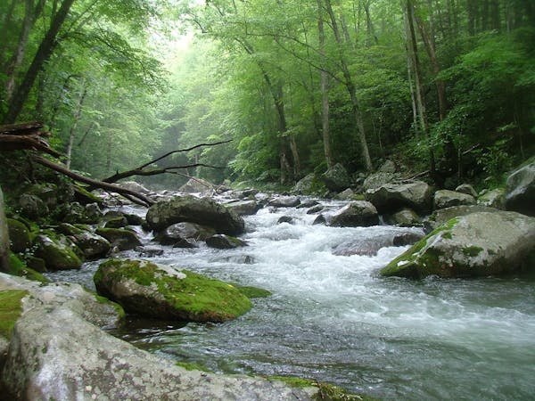
The Gatlinburg Trail runs almost two miles one-way from the outskirts of Gatlinburg to the Sugarlands Vistor Center in Great Smokey Mountains National Park.
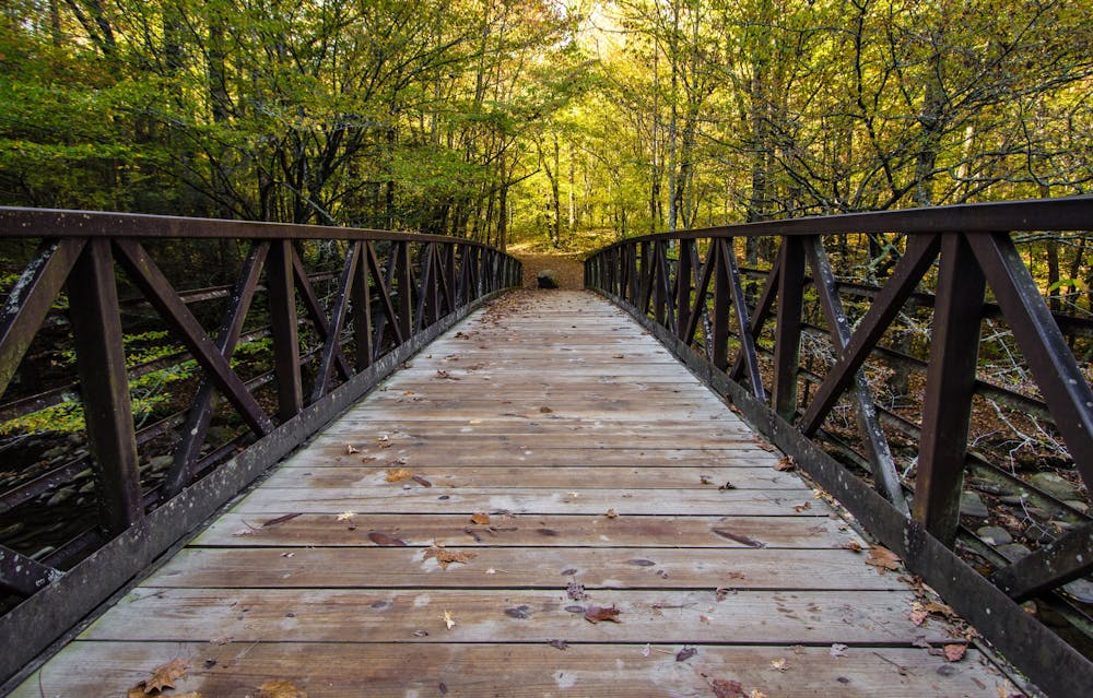
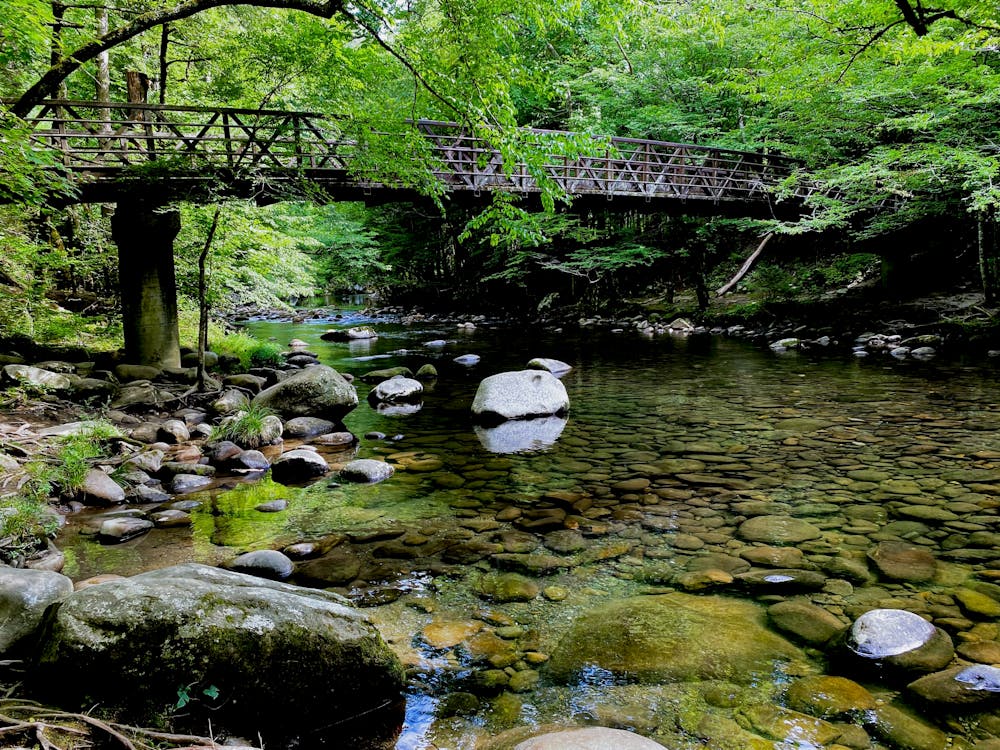
This is a flat, easy hike that "runs through the forest alongside the West Prong of the Little Pigeon River," according to the National Park Service. The trail offers beautiful views of the river, which at one point is crossed by a pedestrian footbridge. Foundations and chimneys of several old homesites are visible along the trail," they continue.
This trail is one of only two trails in the national park that allow dogs and bicycles, making it popular with both cyclists and dog walkers.
Sources https://www.nps.gov/grsm/planyourvisit/gatlinburg-trail.htm https://hikinginthesmokys.com/gatlinburg-trail/ https://smokymountains.com/park/hikes/gatlinburg-trail/
Easy
Walking along a well-kept trail that’s mostly flat. No obstacles are present.

The path is on completely flat land and potential injury is limited to falling over.
Close to help in case of emergency.
2.4 km away
A quick family-friendly waterfall hike behind the Sugarlands Visitor Center.
Moderate Hiking
4.8 km away
The Rainbow Falls Trail is a challenging, yet rewarding hike to the highest waterfall in the Smokies!
Difficult Hiking
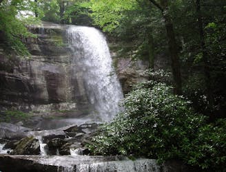
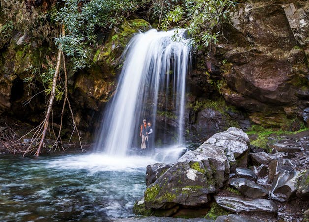
6.2 km away
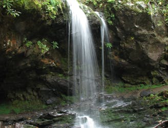
A short hike to a picturesque 25' waterfall that you can walk behind!
Moderate Hiking
6.4 km away
Family friendly, paved trail to one of the best waterfalls in Great Smoky Mountains National Park.
Easy Hiking
7.8 km away
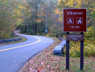
An epic one or two night backcountry loop starting at the Elkmont Campground.
Difficult Hiking
9.3 km away

Steep climb to a popular viewpoint near a craggy summit.
Difficult Hiking

10 routes · Hiking
6 routes · Hiking
4 routes · Hiking