2 km away
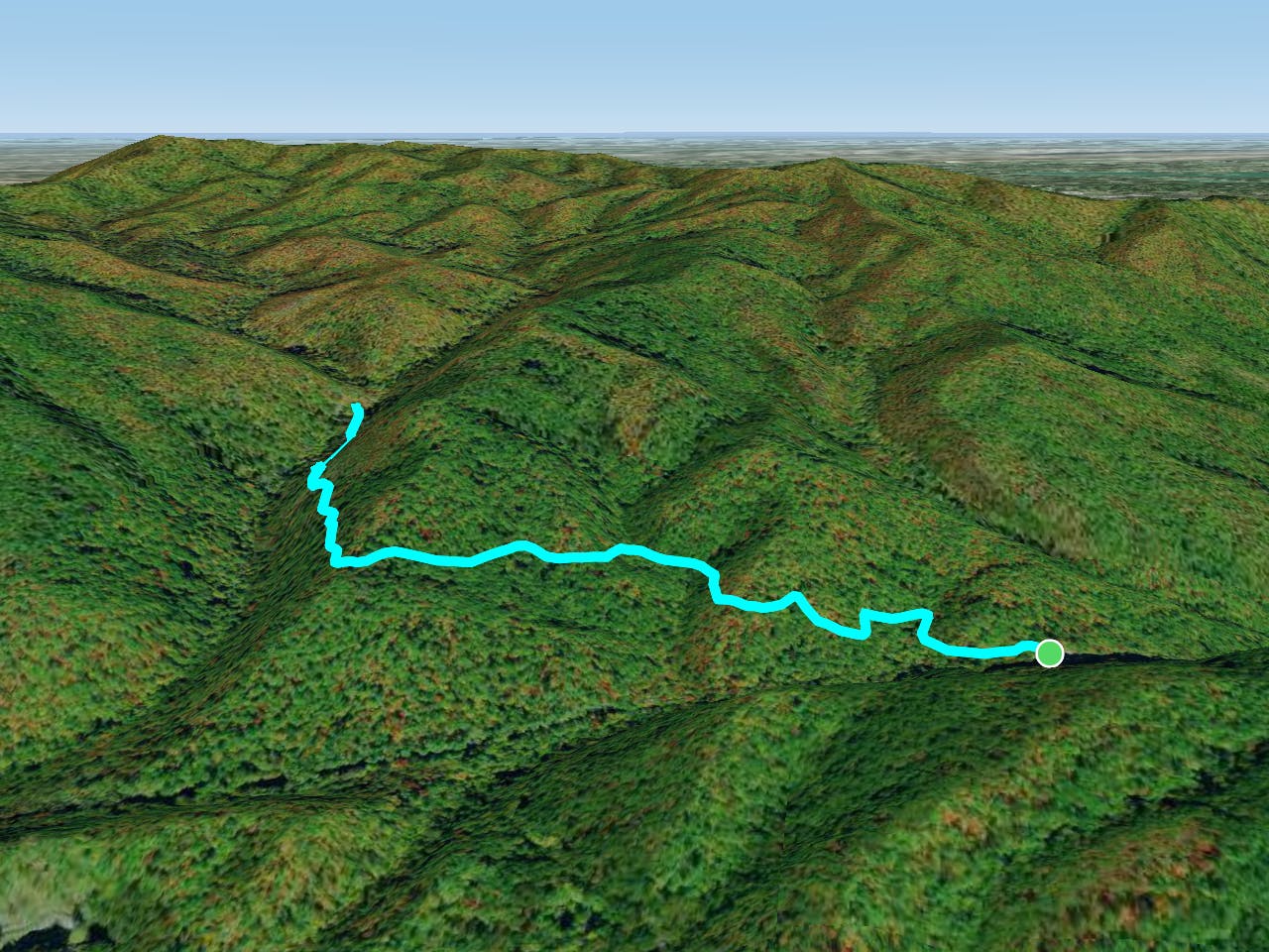
Elkmont Loop
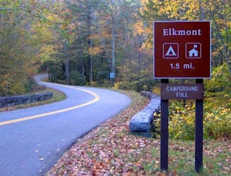
An epic one or two night backcountry loop starting at the Elkmont Campground.
Difficult Hiking
- Distance
- 40 km
- Ascent
- 1.6 km
- Descent
- 1.6 km
Family friendly, paved trail to one of the best waterfalls in Great Smoky Mountains National Park.
Hiking Easy
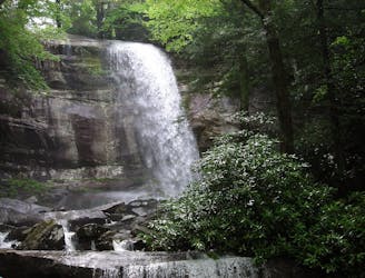
Laurel Falls is a tiered cascade of about 80 feet in height, dropping in multiple columns over glistening rocks, and surrounded by the lush greenery of mountain laurel. The laurel is what the waterfall is named for, and you'll see lots of this thick-leaved shrub plus its cousin, rhododendron, all along the trail. They bloom in early summer with white and purple blossoms.
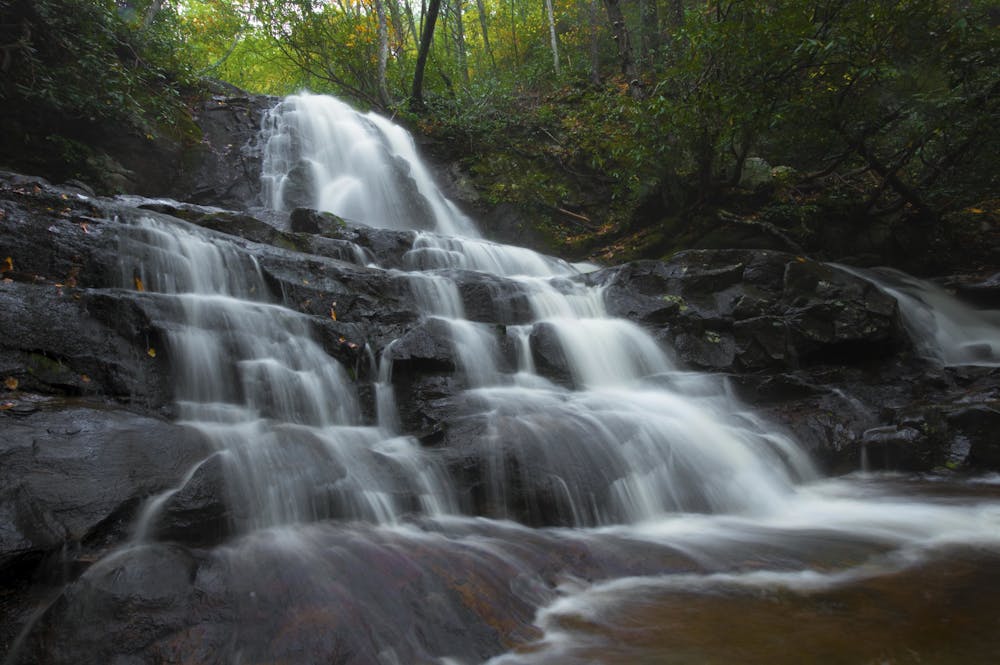
The waterfall has two sections, and upper and lower. A bridge crosses the stream between the two, providing a nice view of the falls both above and below.
The trail is paved the whole way but is still somewhat steep and uneven in places, so strollers and wheelchairs are not recommended. It's more than a mile to the waterfall, and mostly uphill, so you should still be prepared for some exertion. Luckily, cold water and plentiful shade await at the end. You can dip your feet and kids will enjoy splashing around beneath the falls.
The trail is open year round but changes significantly with the seasons. Spring and early summer show off the flowers, midsummer's heat is perfect for getting wet, and autumn brings brilliant foliage. In winter the trail may be snowy and the waterfall fringed by ice.
Sources: https://www.nps.gov/grsm/planyourvisit/laurel-falls.htm
Easy
Walking along a well-kept trail that’s mostly flat. No obstacles are present.

The trail contains some obstacles such as outcroppings and rock which could cause injury.

Close to help in case of emergency.
2 km away
An epic one or two night backcountry loop starting at the Elkmont Campground.
Difficult Hiking
4.3 km away
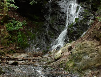
A quick family-friendly waterfall hike behind the Sugarlands Visitor Center.
Moderate Hiking
8.6 km away
The Rainbow Falls Trail is a challenging, yet rewarding hike to the highest waterfall in the Smokies!
Difficult Hiking
10 routes · Hiking
6 routes · Hiking
4 routes · Hiking